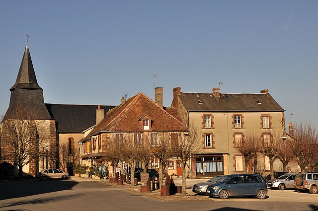
Beaulieu (Beaulieu)

- commune in Indre, France
- Country:

- Postal Code: 36310
- Coordinates: 46° 23' 12" N, 1° 18' 26" E


- GPS tracks (wikiloc): [Link]
- Area: 7.48 sq km
- Population: 62
- Wikipedia en: wiki(en)
- Wikipedia: wiki(fr)
- Wikidata storage: Wikidata: Q1069978
- Wikipedia Commons Category: [Link]
- Freebase ID: [/m/03nv928]
- GeoNames ID: Alt: [6616619]
- SIREN number: [213600158]
- BnF ID: [152573195]
- INSEE municipality code: 36015
Shares border with regions:

Cromac
- commune in Haute-Vienne, France
- Country:
- Postal Code: 87160
- Coordinates: 46° 20' 32" N, 1° 18' 0" E
- GPS tracks (wikiloc): [Link]
- Area: 24.15 sq km
- Population: 255


Bonneuil
- commune in Indre, France
- Country:
- Postal Code: 36310
- Coordinates: 46° 22' 27" N, 1° 13' 34" E
- GPS tracks (wikiloc): [Link]
- Area: 11.41 sq km
- Population: 89

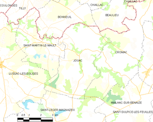
Jouac
- commune in Haute-Vienne, France
- Country:
- Postal Code: 87890
- Coordinates: 46° 21' 15" N, 1° 15' 40" E
- GPS tracks (wikiloc): [Link]
- Area: 20.31 sq km
- Population: 190

Chaillac
- commune in Indre, France
- Country:
- Postal Code: 36310
- Coordinates: 46° 26' 4" N, 1° 17' 56" E
- GPS tracks (wikiloc): [Link]
- Area: 59.79 sq km
- Population: 1076