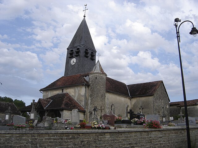
Juvanzé (Juvanzé)
- commune in Aube, France
- Country:

- Postal Code: 10140
- Coordinates: 48° 19' 0" N, 4° 33' 37" E


- GPS tracks (wikiloc): [Link]
- Area: 4.94 sq km
- Population: 31
- Wikipedia en: wiki(en)
- Wikipedia: wiki(fr)
- Wikidata storage: Wikidata: Q1361889
- Wikipedia Commons Category: [Link]
- Freebase ID: [/m/027bqdw]
- GeoNames ID: Alt: [6426427]
- SIREN number: [211001763]
- INSEE municipality code: 10183
Shares border with regions:


La Rothière
- commune in Aube, France
- Country:

- Postal Code: 10500
- Coordinates: 48° 20' 42" N, 4° 33' 28" E


- GPS tracks (wikiloc): [Link]
- Area: 7.13 sq km
- Population: 113


Trannes
- commune in Aube, France
- Country:

- Postal Code: 10140
- Coordinates: 48° 18' 6" N, 4° 35' 9" E


- GPS tracks (wikiloc): [Link]
- Area: 10.11 sq km
- Population: 246


Unienville
- commune in Aube, France
- Country:

- Postal Code: 10140
- Coordinates: 48° 19' 37" N, 4° 32' 42" E


- GPS tracks (wikiloc): [Link]
- Area: 11.79 sq km
- Population: 126
