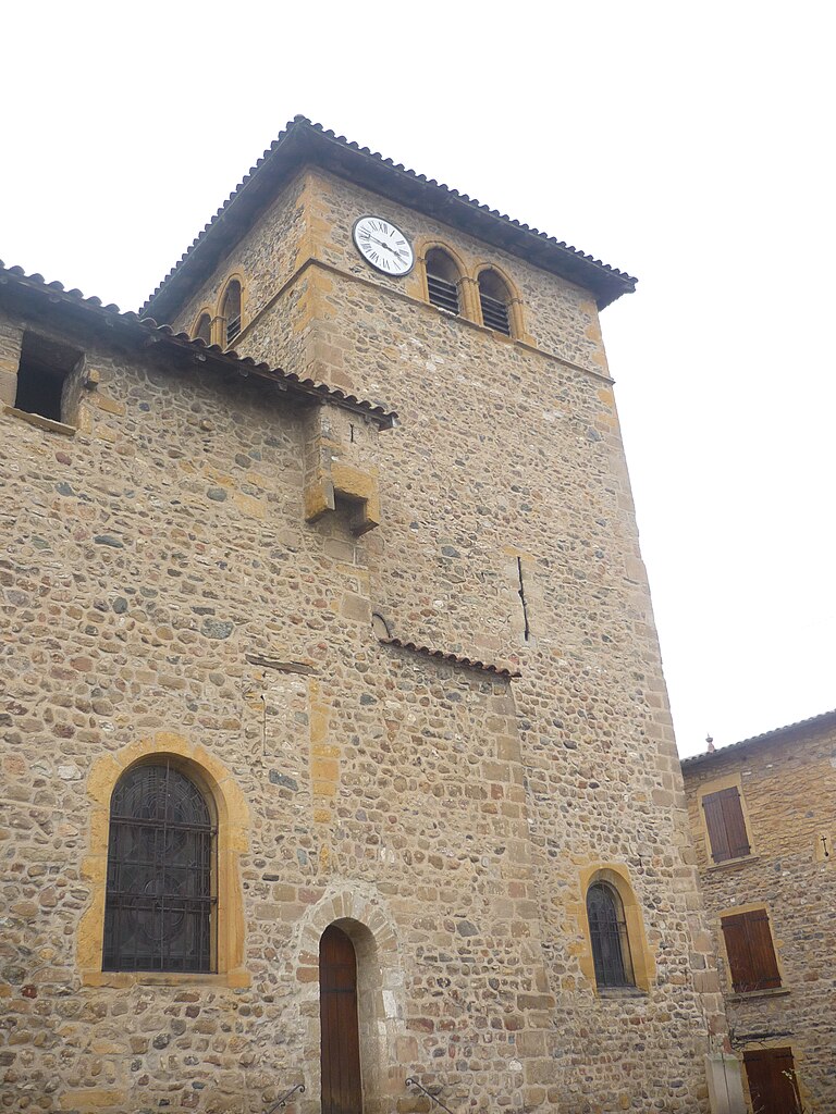
Légny (Légny)

- commune in Rhône, France
- Country:

- Postal Code: 69620
- Coordinates: 45° 54' 30" N, 4° 35' 1" E


- GPS tracks (wikiloc): [Link]
- Area: 3.97 sq km
- Population: 652
- Wikipedia en: wiki(en)
- Wikipedia: wiki(fr)
- Wikidata storage: Wikidata: Q1470355
- Wikipedia Commons Category: [Link]
- Freebase ID: [/m/03ql6r_]
- Freebase ID: [/m/03ql6r_]
- GeoNames ID: Alt: [6441696]
- GeoNames ID: Alt: [6441696]
- SIREN number: [216901116]
- SIREN number: [216901116]
- BnF ID: [152721999]
- BnF ID: [152721999]
- INSEE municipality code: 69111
- INSEE municipality code: 69111
Shares border with regions:


Le Bois-d'Oingt
- former commune in Rhône, France
- Country:
- Postal Code: 69620
- Coordinates: 45° 55' 14" N, 4° 35' 7" E
- GPS tracks (wikiloc): [Link]
- Area: 5.13 sq km
- Population: 2440
- Web site: [Link]
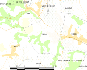
Le Breuil
- commune in Rhône, France
- Country:
- Postal Code: 69620
- Coordinates: 45° 53' 39" N, 4° 35' 15" E
- GPS tracks (wikiloc): [Link]
- Area: 5.63 sq km
- Population: 501


Sarcey
- commune in Rhône, France
- Country:
- Postal Code: 69490
- Coordinates: 45° 52' 50" N, 4° 33' 8" E
- GPS tracks (wikiloc): [Link]
- Area: 9.99 sq km
- Population: 990
- Web site: [Link]

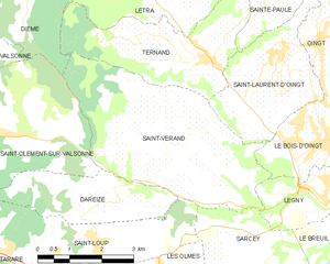
Saint-Vérand
- commune in Rhône, France
- Country:
- Postal Code: 69620
- Coordinates: 45° 55' 8" N, 4° 31' 39" E
- GPS tracks (wikiloc): [Link]
- Area: 17.58 sq km
- Population: 1155