Létanne (Létanne)
- commune in Ardennes, France
- Country:

- Postal Code: 08210
- Coordinates: 49° 32' 40" N, 5° 4' 52" E


- GPS tracks (wikiloc): [Link]
- Area: 7.5 sq km
- Population: 134
- Wikipedia en: wiki(en)
- Wikipedia: wiki(fr)
- Wikidata storage: Wikidata: Q1086538
- Wikipedia Commons Category: [Link]
- Freebase ID: [/m/03m8f3j]
- GeoNames ID: Alt: [6425996]
- SIREN number: [210802294]
- INSEE municipality code: 08252
Shares border with regions:


Pouilly-sur-Meuse
- commune in Meuse, France
- Country:
- Postal Code: 55700
- Coordinates: 49° 32' 25" N, 5° 6' 31" E
- GPS tracks (wikiloc): [Link]
- Area: 11.83 sq km
- Population: 183

Beaumont-en-Argonne
- commune in Ardennes, France
- Country:
- Postal Code: 08210
- Coordinates: 49° 32' 18" N, 5° 3' 27" E
- GPS tracks (wikiloc): [Link]
- Area: 31.05 sq km
- Population: 440

Mouzon
- commune in Ardennes, France
- Country:
- Postal Code: 08210
- Coordinates: 49° 36' 22" N, 5° 4' 32" E
- GPS tracks (wikiloc): [Link]
- Area: 34.43 sq km
- Population: 2161
- Web site: [Link]

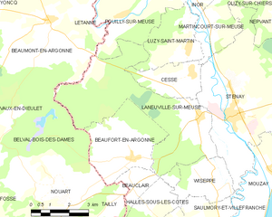
Laneuville-sur-Meuse
- commune in Meuse, France
- Country:
- Postal Code: 55700
- Coordinates: 49° 29' 29" N, 5° 9' 51" E
- GPS tracks (wikiloc): [Link]
- Area: 22.82 sq km
- Population: 428