L'Étoile (L'Étoile)

- commune in Somme, France
- Country:

- Postal Code: 80830
- Coordinates: 50° 1' 14" N, 2° 2' 45" E


- GPS tracks (wikiloc): [Link]
- Area: 7.9 sq km
- Population: 1253
- Wikipedia en: wiki(en)
- Wikipedia: wiki(fr)
- Wikidata storage: Wikidata: Q120911
- Wikipedia Commons Category: [Link]
- Freebase ID: [/m/03nnrmp]
- GeoNames ID: Alt: [6614249]
- SIREN number: [218002830]
- BnF ID: [15276777m]
- VIAF ID: Alt: [197702914]
- PACTOLS thesaurus ID: [pcrtRpb303GpID]
- Quora topic ID: [LÉtoile]
- SUDOC authorities ID: [026627922]
- INSEE municipality code: 80296
Shares border with regions:
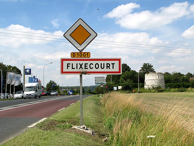

Flixecourt
- commune in Somme, France
- Country:
- Postal Code: 80420
- Coordinates: 50° 0' 46" N, 2° 4' 51" E
- GPS tracks (wikiloc): [Link]
- Area: 11.84 sq km
- Population: 3170
- Web site: [Link]

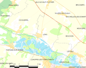
Long
- commune in Somme, France
- Country:
- Postal Code: 80510
- Coordinates: 50° 2' 22" N, 1° 58' 52" E
- GPS tracks (wikiloc): [Link]
- Area: 9.19 sq km
- Population: 627


Longpré-les-Corps-Saints
- commune in Somme, France
- Country:
- Postal Code: 80510
- Coordinates: 50° 0' 45" N, 1° 59' 43" E
- GPS tracks (wikiloc): [Link]
- Area: 8.06 sq km
- Population: 1650
- Web site: [Link]

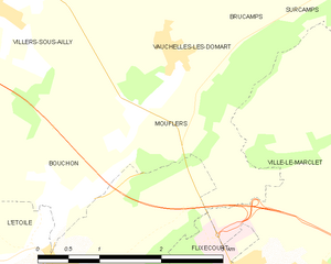
Mouflers
- commune in Somme, France
- Country:
- Postal Code: 80690
- Coordinates: 50° 2' 49" N, 2° 2' 56" E
- GPS tracks (wikiloc): [Link]
- Area: 3.53 sq km
- Population: 91


Condé-Folie
- commune in Somme, France
- Country:
- Postal Code: 80890
- Coordinates: 50° 0' 35" N, 2° 1' 4" E
- GPS tracks (wikiloc): [Link]
- Area: 10.37 sq km
- Population: 919


Hangest-sur-Somme
- commune in Somme, France
- Country:
- Postal Code: 80310
- Coordinates: 49° 58' 51" N, 2° 3' 55" E
- GPS tracks (wikiloc): [Link]
- Area: 12.46 sq km
- Population: 753


Bouchon
- commune in Somme, France
- Country:
- Postal Code: 80830
- Coordinates: 50° 2' 6" N, 2° 1' 47" E
- GPS tracks (wikiloc): [Link]
- AboveSeaLevel: 23 м m
- Area: 4.6 sq km
- Population: 152