L'Hôpital-du-Grosbois (L'Hôpital-du-Grosbois)

- commune in Doubs, France
 Hiking in L'Hôpital-du-Grosbois
L'Hôpital-du-Grosbois is a charming village located in the Doubs department of France, surrounded by beautiful landscapes ideal for hiking. Here are some details to help you make the most of your hiking experience in the area:
Scenic Trails
-
Local Trails: The region around L'Hôpital-du-Grosbois offers a variety of hiking trails that cater to different skill levels. These trails typically take you through lush forests, rolling hills, and alongside rivers, providing stunning views of the surrounding countryside.
-
Nature and Wildlife: The area is rich in biodiversity, so keep an eye out for local wildlife such as deer, various birds, and plant species. Hiking in the early morning or late afternoon can enhance your chances of spotting wildlife.
-
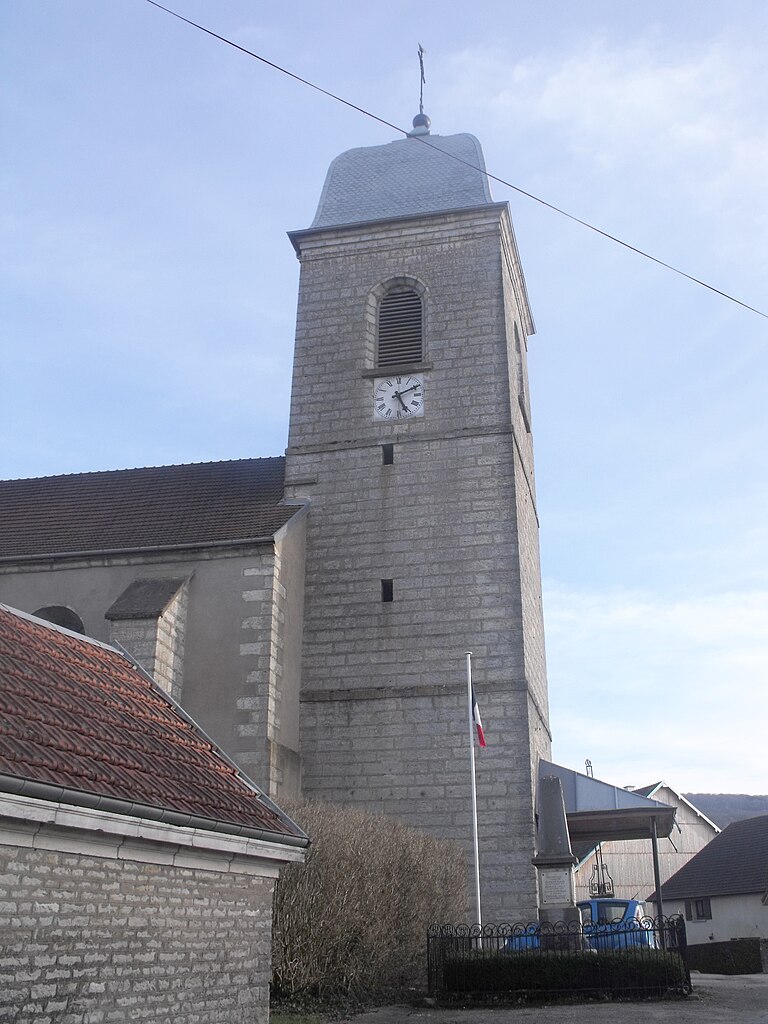
Cultural Landmarks: While hiking, you may encounter quaint villages, historical buildings, and churches that showcase the cultural heritage of the region. This makes for a well-rounded hiking experience that combines nature with history.
Preparation Tips
-
Weather: The weather can change rapidly in this region, so it’s essential to check the forecast before heading out. Dress in layers to stay comfortable, and carry a waterproof jacket if rain is expected.
-
Trail Maps: Make sure to carry a map or have a hiking app downloaded with the local trails marked. It's easy to get lost in unfamiliar territory, especially in densely wooded areas.
-
Hydration & Snacks: Bring plenty of water and some snacks to keep your energy up during your hike.
-
Safety: Always inform someone of your hiking plans and expected return time, particularly if you're hiking alone.
Best Times to Hike
The best times for hiking in L'Hôpital-du-Grosbois are during spring and fall, when the weather is mild and the scenery is particularly beautiful with blooming flowers or autumn foliage.
Guided Tours
If you prefer a guided experience, consider looking into local hiking groups or tours. A local guide can provide insights into the area's geology, flora, and fauna, enriching your hiking experience.
Overall, hiking around L'Hôpital-du-Grosbois can be a delightful outing filled with natural beauty and exploration. Be sure to enjoy the peace and tranquility that the French countryside has to offer!
- Country:

- Postal Code: 25620
- Coordinates: 47° 10' 19" N, 6° 12' 59" E


- GPS tracks (wikiloc): [Link]
- Area: 7.84 sq km
- Population: 586
- Web site: http://lhopitaldugrosbois.fr
- Wikipedia en: wiki(en)
- Wikipedia: wiki(fr)
- Wikidata storage: Wikidata: Q907399
- Wikipedia Commons Category: [Link]
- Freebase ID: [/m/03mhb0j]
- Freebase ID: [/m/03mhb0j]
- GeoNames ID: Alt: [6614343]
- GeoNames ID: Alt: [6614343]
- SIREN number: [212503056]
- SIREN number: [212503056]
- BnF ID: [15252531c]
- BnF ID: [15252531c]
- INSEE municipality code: 25305
- INSEE municipality code: 25305
Shares border with regions:


Verrières-du-Grosbois
- former commune in Doubs, France
Hiking in Verrières-du-Grosbois
Verrières-du-Grosbois, located in the Doubs department of France, is a beautiful region that offers various hiking opportunities. The area is characterized by its stunning natural landscapes, including rolling hills, dense forests, and panoramic views of the surrounding Jura Mountains. Here are some highlights for hiking in this region:...
- Country:
- Postal Code: 25580
- Coordinates: 47° 12' 3" N, 6° 16' 37" E
- GPS tracks (wikiloc): [Link]
- AboveSeaLevel: 599 м m
- Area: 7.86 sq km
- Population: 34

Naisey-les-Granges
- commune in Doubs, France
Hiking in Naisey-les-Granges
Naisey-les-Granges is a charming village located in the Franche-Comté region of eastern France, surrounded by picturesque landscapes and natural beauty that make it an appealing destination for hiking enthusiasts. Here are some key points about hiking in Naisey-les-Granges:...
- Country:
- Postal Code: 25360
- Coordinates: 47° 12' 43" N, 6° 14' 13" E
- GPS tracks (wikiloc): [Link]
- AboveSeaLevel: 480 м m
- Area: 25.13 sq km
- Population: 800


Trépot
- commune in Doubs, France
Hiking in Trépot
Trépot is a small, picturesque village in the Jura region of France, known for its stunning natural landscapes and outdoor activities. While it may not be as famous as other hiking destinations, it offers a unique experience for those looking to explore the Jura mountains and its beautiful surroundings....
- Country:
- Postal Code: 25620
- Coordinates: 47° 9' 58" N, 6° 9' 0" E
- GPS tracks (wikiloc): [Link]
- Area: 14.5 sq km
- Population: 531