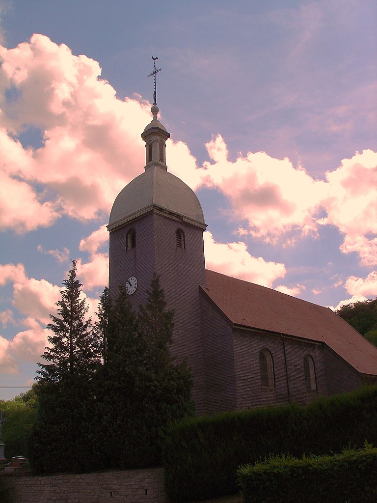
Naisey-les-Granges (Naisey-les-Granges)

- commune in Doubs, France
 Hiking in Naisey-les-Granges
Naisey-les-Granges is a charming village located in the Franche-Comté region of eastern France, surrounded by picturesque landscapes and natural beauty that make it an appealing destination for hiking enthusiasts. Here are some key points about hiking in Naisey-les-Granges:
Scenic Trails
-
Variety of Routes: The area offers a range of hiking trails suitable for different skill levels, from easy walks to more challenging hikes. You can find trails that take you through forests, alongside rivers, and up to vantage points with stunning views of the Jura Mountains and the surrounding countryside.
-
Natural Beauty: The trails often wind through beautiful landscapes featuring rolling hills, lush forests, and wildflower meadows, providing hikers with opportunities to connect with nature and observe local wildlife.
Nearby Attractions
-
Jura Mountains: The proximity to the Jura mountain range offers additional hiking opportunities. Popular trails include routes to peaks like Mont Tendre and the famous Reculée where you can experience dramatic geological formations.
-
Nature Reserves: Consider exploring nearby nature reserves, such as the Haut-Jura Regional Natural Park, which is known for its biodiversity and numerous hiking trails.
Practical Tips
-
Maps and Guides: It's wise to carry a map or download trail apps specific to the region to navigate the various hiking routes effectively.
-
Weather Conditions: Always check the weather forecast before heading out, as conditions can change rapidly, especially in mountainous areas.
-
Local Recommendations: Engage with local tourism offices or hiking clubs for information on trail conditions, guided hikes, and suggestions for hidden gems off the beaten path.
Preparation
- Gear: Wear suitable hiking shoes, and consider bringing trekking poles for stability, especially on uneven terrain.
- Supplies: Carry enough water, snacks, and a first-aid kit to ensure you are well-prepared for your hike.
Conclusion
Hiking in and around Naisey-les-Granges allows you to discover the natural splendor of the Franche-Comté region while enjoying the tranquility of the French countryside. Whether you are seeking a peaceful stroll or an adventurous trek, the area has something to offer for every hiking enthusiast.
- Country:

- Postal Code: 25360
- Coordinates: 47° 12' 43" N, 6° 14' 13" E


- GPS tracks (wikiloc): [Link]
- AboveSeaLevel: 480 м m
- Area: 25.13 sq km
- Population: 800
- Wikipedia en: wiki(en)
- Wikipedia: wiki(fr)
- Wikidata storage: Wikidata: Q907033
- Wikipedia Commons Category: [Link]
- Freebase ID: [/m/03mhbp4]
- Freebase ID: [/m/03mhbp4]
- GeoNames ID: Alt: [6616228]
- GeoNames ID: Alt: [6616228]
- SIREN number: [212504179]
- SIREN number: [212504179]
- BnF ID: [15252643n]
- BnF ID: [15252643n]
- INSEE municipality code: 25417
- INSEE municipality code: 25417
Shares border with regions:


Verrières-du-Grosbois
- former commune in Doubs, France
Hiking in Verrières-du-Grosbois
Verrières-du-Grosbois, located in the Doubs department of France, is a beautiful region that offers various hiking opportunities. The area is characterized by its stunning natural landscapes, including rolling hills, dense forests, and panoramic views of the surrounding Jura Mountains. Here are some highlights for hiking in this region:...
- Country:
- Postal Code: 25580
- Coordinates: 47° 12' 3" N, 6° 16' 37" E
- GPS tracks (wikiloc): [Link]
- AboveSeaLevel: 599 м m
- Area: 7.86 sq km
- Population: 34


Bouclans
- former commune in Doubs, France
Hiking in Bouclans
Bouclans is a small commune located in the Doubs department in the Bourgogne-Franche-Comté region of eastern France. Although it may not be as widely known as some larger hiking destinations, it offers a unique experience for those looking to explore the natural beauty of the region....
- Country:
- Postal Code: 25360
- Coordinates: 47° 14' 50" N, 6° 14' 11" E
- GPS tracks (wikiloc): [Link]
- Area: 21.4 sq km
- Population: 957


La Chevillotte
- commune in Doubs, France
Hiking in La Chevillotte
La Chevillotte, located in the Doubs department of the Bourgogne-Franche-Comté region in eastern France, offers a variety of hiking opportunities in a picturesque natural setting. The surrounding area is characterized by rolling hills, forests, and beautiful views, making it a great destination for outdoor enthusiasts....
- Country:
- Postal Code: 25620
- Coordinates: 47° 13' 12" N, 6° 9' 59" E
- GPS tracks (wikiloc): [Link]
- AboveSeaLevel: 440 м m
- Area: 7.68 sq km
- Population: 139

Gonsans
- commune in Doubs, France
Hiking in Gonsans
It seems there might be a typo or a misunderstanding regarding the location "Gonsans," as it doesn't refer to a well-known hiking destination. However, if you meant "Gonzales" in the United States, or perhaps a region with a similar name, please clarify, and I can provide specific information....
- Country:
- Postal Code: 25360
- Coordinates: 47° 13' 55" N, 6° 18' 1" E
- GPS tracks (wikiloc): [Link]
- Area: 17.29 sq km
- Population: 577


Mamirolle
- commune in Doubs, France
Hiking in Mamirolle
Mamirolle is a charming commune in the Doubs department of the Bourgogne-Franche-Comté region in eastern France. While Mamirolle itself is a small village, it is surrounded by beautiful landscapes and outdoor recreational opportunities, making it a nice spot for hiking enthusiasts....
- Country:
- Postal Code: 25620
- Coordinates: 47° 11' 49" N, 6° 9' 42" E
- GPS tracks (wikiloc): [Link]
- Area: 11.49 sq km
- Population: 1772
- Web site: [Link]


L'Hôpital-du-Grosbois
- commune in Doubs, France
Hiking in L'Hôpital-du-Grosbois
L'Hôpital-du-Grosbois is a charming village located in the Doubs department of France, surrounded by beautiful landscapes ideal for hiking. Here are some details to help you make the most of your hiking experience in the area:...
- Country:
- Postal Code: 25620
- Coordinates: 47° 10' 19" N, 6° 12' 59" E
- GPS tracks (wikiloc): [Link]
- Area: 7.84 sq km
- Population: 586
- Web site: [Link]