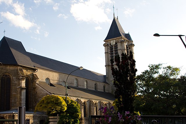
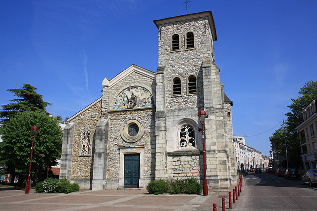
L'Haÿ-les-Roses (L'Haÿ-les-Roses)

- commune in Val-de-Marne, France
- Country:

- Postal Code: 94240
- Coordinates: 48° 46' 45" N, 2° 20' 14" E


- GPS tracks (wikiloc): [Link]
- AboveSeaLevel: 63 м m
- Area: 3.9 sq km
- Population: 30736
- Web site: http://www.lhaylesroses.fr
- Wikipedia en: wiki(en)
- Wikipedia: wiki(fr)
- Wikidata storage: Wikidata: Q128643
- Wikipedia Commons Category: [Link]
- Wikipedia Commons Maps Category: [Link]
- Freebase ID: [/m/07xlr8]
- Freebase ID: [/m/07xlr8]
- GeoNames ID: Alt: [6614252]
- GeoNames ID: Alt: [6614252]
- SIREN number: [219400389]
- SIREN number: [219400389]
- BnF ID: [152803371]
- BnF ID: [152803371]
- VIAF ID: Alt: [144253739]
- VIAF ID: Alt: [144253739]
- archINFORM location ID: [7701]
- archINFORM location ID: [7701]
- Library of Congress authority ID: Alt: [no2007075158]
- Library of Congress authority ID: Alt: [no2007075158]
- PACTOLS thesaurus ID: [pcrt9btt5HZN7H]
- PACTOLS thesaurus ID: [pcrt9btt5HZN7H]
- MusicBrainz area ID: [f954e41f-e597-4147-9ff5-00d30b1ce91e]
- MusicBrainz area ID: [f954e41f-e597-4147-9ff5-00d30b1ce91e]
- Quora topic ID: [LHay-les-Roses]
- Quora topic ID: [LHay-les-Roses]
- INSEE municipality code: 94038
- INSEE municipality code: 94038
Shares border with regions:

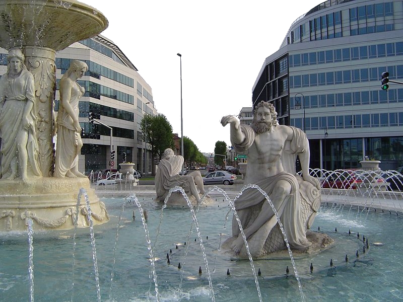
Villejuif
- commune in Val-de-Marne, France
- Country:
- Postal Code: 94800
- Coordinates: 48° 47' 38" N, 2° 21' 40" E
- GPS tracks (wikiloc): [Link]
- AboveSeaLevel: 90 м m
- Area: 5.34 sq km
- Population: 56661
- Web site: [Link]
Antony
- commune in Hauts-de-Seine, France
- Country:
- Postal Code: 92160
- Coordinates: 48° 45' 12" N, 2° 17' 48" E
- GPS tracks (wikiloc): [Link]
- Area: 9.56 sq km
- Population: 61711
- Web site: [Link]

Cachan
- commune in Val-de-Marne, France
- Country:
- Postal Code: 94230
- Coordinates: 48° 47' 31" N, 2° 19' 55" E
- GPS tracks (wikiloc): [Link]
- AboveSeaLevel: 45 м m
- Area: 2.74 sq km
- Population: 30433
- Web site: [Link]


Bourg-la-Reine
- commune in Hauts-de-Seine, France
- Country:
- Postal Code: 92340
- Coordinates: 48° 46' 41" N, 2° 18' 57" E
- GPS tracks (wikiloc): [Link]
- Area: 1.86 sq km
- Population: 20249
- Web site: [Link]


Chevilly-Larue
- commune in Val-de-Marne, France
- Country:
- Postal Code: 94550
- Coordinates: 48° 45' 59" N, 2° 21' 12" E
- GPS tracks (wikiloc): [Link]
- AboveSeaLevel: 90 м m
- Area: 4.22 sq km
- Population: 19169
- Web site: [Link]

Fresnes
- commune in Val-de-Marne, France
- Country:
- Postal Code: 94260
- Coordinates: 48° 45' 32" N, 2° 19' 25" E
- GPS tracks (wikiloc): [Link]
- AboveSeaLevel: 66 м m
- Area: 3.56 sq km
- Population: 27154
- Web site: [Link]