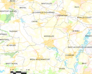
L'Hermitage (L'Hermitage)

- commune in Ille-et-Vilaine, France
- Country:

- Postal Code: 35590
- Coordinates: 48° 7' 33" N, 1° 48' 57" E


- GPS tracks (wikiloc): [Link]
- Area: 6.83 sq km
- Population: 4227
- Web site: http://www.mairie-lhermitage.fr
- Wikipedia en: wiki(en)
- Wikipedia: wiki(fr)
- Wikidata storage: Wikidata: Q654918
- Wikipedia Commons Category: [Link]
- Freebase ID: [/m/03mbvj6]
- Freebase ID: [/m/03mbvj6]
- GeoNames ID: Alt: [6614362]
- GeoNames ID: Alt: [6614362]
- SIREN number: [213501315]
- SIREN number: [213501315]
- BnF ID: [15257075t]
- BnF ID: [15257075t]
- VIAF ID: Alt: [241560163]
- VIAF ID: Alt: [241560163]
- OSM relation ID: [173336]
- OSM relation ID: [173336]
- INSEE municipality code: 35131
- INSEE municipality code: 35131
Shares border with regions:

Mordelles
- commune in Ille-et-Vilaine, France
- Country:
- Postal Code: 35310
- Coordinates: 48° 4' 29" N, 1° 50' 45" E
- GPS tracks (wikiloc): [Link]
- Area: 29.76 sq km
- Population: 7275
- Web site: [Link]


Le Rheu
- commune in Ille-et-Vilaine, France
- Country:
- Postal Code: 35650
- Coordinates: 48° 6' 7" N, 1° 47' 44" E
- GPS tracks (wikiloc): [Link]
- Area: 18.89 sq km
- Population: 8365
- Web site: [Link]

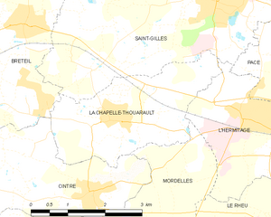
La Chapelle-Thouarault
- commune in Ille-et-Vilaine, France
- Country:
- Postal Code: 35590
- Coordinates: 48° 7' 28" N, 1° 51' 56" E
- GPS tracks (wikiloc): [Link]
- Area: 7.64 sq km
- Population: 2070
- Web site: [Link]


Saint-Gilles
- commune in Ille-et-Vilaine, France
- Country:
- Postal Code: 35590
- Coordinates: 48° 9' 13" N, 1° 49' 34" E
- GPS tracks (wikiloc): [Link]
- Area: 20.72 sq km
- Population: 4447
- Web site: [Link]


Pacé
- commune in Ille-et-Vilaine, France
- Country:
- Postal Code: 35740
- Coordinates: 48° 8' 52" N, 1° 46' 26" E
- GPS tracks (wikiloc): [Link]
- Area: 34.94 sq km
- Population: 11531
- Web site: [Link]