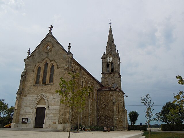
La Bâtie-Divisin (La Bâtie-Divisin)

- former commune in Isère, France
 Hiking in La Bâtie-Divisin
La Bâtie-Divisin is a charming commune in the Isère department of the Auvergne-Rhône-Alpes region in southeastern France. Nestled near the foothills of the Alps, it offers a picturesque setting for hiking enthusiasts. Here are some key points about hiking in and around La Bâtie-Divisin:
Hiking Trails:
-
Local Trails: There are several well-marked trails around La Bâtie-Divisin that vary in difficulty, making it suitable for hikers of all experience levels. The terrain includes gentle hills, woodlands, and charming rural landscapes.
-
Mont de Lans: Nearby, you can find trails leading to beautiful views over the valley. This area offers both relaxing strolls and more challenging hikes.
-
Chartreuse Regional Natural Park: A bit further to the east, this park boasts stunning scenery, limestone cliffs, and numerous trails that cater to both day hikers and long-distance trekkers.
Scenic Views:
- The region is known for its breathtaking views of the surrounding mountains, with opportunities to spot diverse wildlife and flora along the trails.
Best Times to Hike:
- Spring (April to June): This is an ideal time as the weather is mild, and wildflowers bloom, creating vibrant landscapes.
- Autumn (September to October): The fall colors add a different beauty to the trails, and it's generally less crowded.
Preparation:
- Ensure to wear sturdy hiking boots, and bring sufficient water, snacks, and a map or navigation tool. Weather can change rapidly in mountainous areas, so it's wise to check forecasts and dress in layers.
Additional Activities:
- Besides hiking, you can enjoy picnicking in nature, bird watching, and photography. The local culture and cuisine also add to the overall experience, with opportunities to taste regional specialties.
Overall, La Bâtie-Divisin and its surroundings provide a peaceful and scenic hiking experience. Whether you are looking for a short nature walk or a more ambitious hike, this area offers diverse options for outdoor adventure.
- Country:

- Postal Code: 38490
- Coordinates: 45° 30' 36" N, 5° 35' 52" E


- GPS tracks (wikiloc): [Link]
- Area: 10.51 sq km
- Population: 917
- Web site: http://www.labatiedivisin.org
- Wikipedia en: wiki(en)
- Wikipedia: wiki(fr)
- Wikidata storage: Wikidata: Q1008865
- Wikipedia Commons Category: [Link]
- Freebase ID: [/m/03g_760]
- GeoNames ID: Alt: [6456868]
- BnF ID: [152578573]
- INSEE municipality code: 38028
Shares border with regions:


Les Abrets
- former commune in Isère, France
Hiking in Les Abrets
Les Abrets is a charming commune located in the Isère department of the Auvergne-Rhône-Alpes region in southeastern France. The area is surrounded by beautiful landscapes, making it an attractive destination for hiking enthusiasts. Here are some highlights you can expect when hiking in Les Abrets:...
- Country:
- Postal Code: 38490
- Coordinates: 45° 32' 13" N, 5° 35' 6" E
- GPS tracks (wikiloc): [Link]
- Area: 6.89 sq km
- Population: 3445
- Web site: [Link]

Montferrat
- commune in Isère, France
Hiking in Montferrat
Montferrat, located in the Isère department of the Auvergne-Rhône-Alpes region in southeastern France, offers stunning hiking opportunities through its picturesque landscapes. Here are some key points to consider for hiking in Montferrat:...
- Country:
- Postal Code: 38620
- Coordinates: 45° 29' 16" N, 5° 35' 27" E
- GPS tracks (wikiloc): [Link]
- Area: 12.26 sq km
- Population: 1767
- Web site: [Link]


Paladru
- former commune in Isère, France
Hiking in Paladru
Hiking in Paladru, located in the Auvergne-Rhône-Alpes region of France, offers a beautiful blend of natural landscapes, cultural heritage, and outdoor activities. The area is known for its stunning lake, Lac de Paladru, which is one of the cleanest lakes in the region and provides a picturesque backdrop for hiking....
- Country:
- Postal Code: 38137
- Coordinates: 45° 28' 33" N, 5° 33' 12" E
- GPS tracks (wikiloc): [Link]
- Area: 11.64 sq km
- Population: 1181
- Web site: [Link]


Pressins
- commune in Isère, France
Hiking in Pressins
Pressins is a charming commune located in the Isère department of southeastern France. It's a lesser-known destination for hikers, but it offers access to beautiful landscapes typical of the French Alps and surrounding regions. Here are some key points to consider if you're planning a hiking trip in and around Pressins:...
- Country:
- Postal Code: 38480
- Coordinates: 45° 31' 32" N, 5° 37' 38" E
- GPS tracks (wikiloc): [Link]
- Area: 10.1 sq km
- Population: 1147
- Web site: [Link]


Charancieu
- commune in Isère, France
Hiking in Charancieu
Charancieu, located in the Isère department of the Auvergne-Rhône-Alpes region in France, offers beautiful scenery and a variety of hiking opportunities. The area is characterized by rolling hills, lush greenery, and stunning views of the surrounding mountains....
- Country:
- Postal Code: 38490
- Coordinates: 45° 31' 30" N, 5° 34' 54" E
- GPS tracks (wikiloc): [Link]
- Area: 5.53 sq km
- Population: 741


Velanne
- commune in Isère, France
Hiking in Velanne
Velanne is a charming village located in the French Alps, nestled within the picturesque Isère department. While not as widely known as some of its neighboring areas, it offers access to beautiful landscapes and hiking opportunities perfect for outdoor enthusiasts....
- Country:
- Postal Code: 38620
- Coordinates: 45° 29' 18" N, 5° 38' 54" E
- GPS tracks (wikiloc): [Link]
- Area: 8.04 sq km
- Population: 524