La Bastide-l'Évêque (La Bastide-l'Évêque)
- former commune in Aveyron, France
- Country:

- Postal Code: 12200
- Coordinates: 44° 20' 26" N, 2° 8' 4" E


- GPS tracks (wikiloc): [Link]
- Area: 44.16 sq km
- Population: 808
- Wikipedia en: wiki(en)
- Wikipedia: wiki(fr)
- Wikidata storage: Wikidata: Q1083158
- Wikipedia Commons Category: [Link]
- Freebase ID: [/m/03m92t8]
- GeoNames ID: Alt: [6456705]
- BnF ID: [152469975]
- PACTOLS thesaurus ID: [pcrt3EILJUPaUy]
- INSEE municipality code: 12021
Shares border with regions:

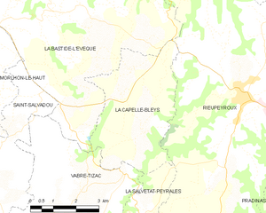
La Capelle-Bleys
- commune in Aveyron, France
- Country:

- Postal Code: 12240
- Coordinates: 44° 17' 41" N, 2° 10' 58" E


- GPS tracks (wikiloc): [Link]
- Area: 15.63 sq km
- Population: 378
- Web site: [Link]


Brandonnet
- commune in Aveyron, France
- Country:

- Postal Code: 12350
- Coordinates: 44° 23' 16" N, 2° 8' 7" E


- GPS tracks (wikiloc): [Link]
- Area: 12.22 sq km
- Population: 321


Compolibat
- commune in Aveyron, France
- Country:

- Postal Code: 12350
- Coordinates: 44° 22' 39" N, 2° 11' 42" E


- GPS tracks (wikiloc): [Link]
- Area: 17.04 sq km
- Population: 355
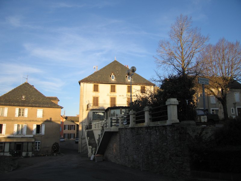

Rieupeyroux
- commune in Aveyron, France
- Country:

- Postal Code: 12240
- Coordinates: 44° 18' 28" N, 2° 14' 11" E


- GPS tracks (wikiloc): [Link]
- Area: 54.81 sq km
- Population: 1990
- Web site: [Link]
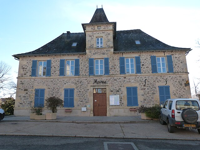

Maleville
- commune in Aveyron, France
- Country:

- Postal Code: 12350
- Coordinates: 44° 23' 50" N, 2° 6' 7" E


- GPS tracks (wikiloc): [Link]
- Area: 36.35 sq km
- Population: 979

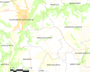
Morlhon-le-Haut
- commune in Aveyron, France
- Country:

- Postal Code: 12200
- Coordinates: 44° 19' 29" N, 2° 3' 45" E


- GPS tracks (wikiloc): [Link]
- Area: 22.09 sq km
- Population: 565
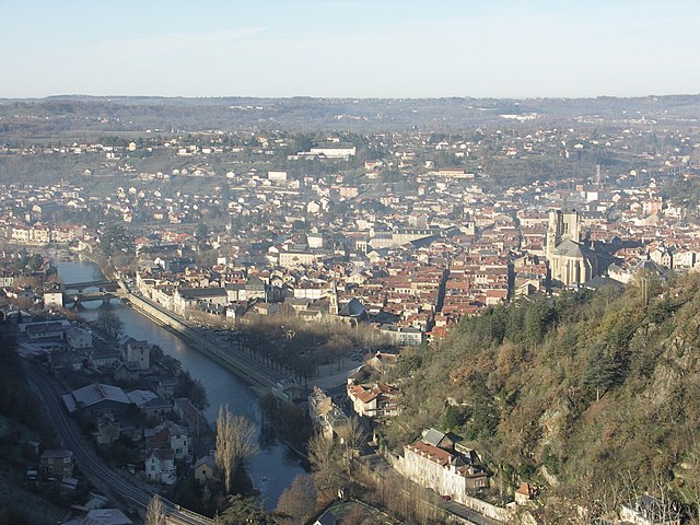
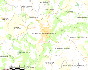
Villefranche-de-Rouergue
- commune in Aveyron, France
- Country:

- Postal Code: 12200
- Coordinates: 44° 21' 9" N, 2° 2' 3" E


- GPS tracks (wikiloc): [Link]
- AboveSeaLevel: 290 м m
- Area: 45.85 sq km
- Population: 11892
- Web site: [Link]


Saint-Salvadou
- former commune in Aveyron, France
- Country:

- Postal Code: 12200
- Coordinates: 44° 16' 51" N, 2° 6' 4" E


- GPS tracks (wikiloc): [Link]
- Area: 15.5 sq km
- Population: 384


Vabre-Tizac
- former commune in Aveyron, France
- Country:

- Postal Code: 12240
- Coordinates: 44° 16' 15" N, 2° 8' 59" E


- GPS tracks (wikiloc): [Link]
- Area: 22.67 sq km
- Population: 405
