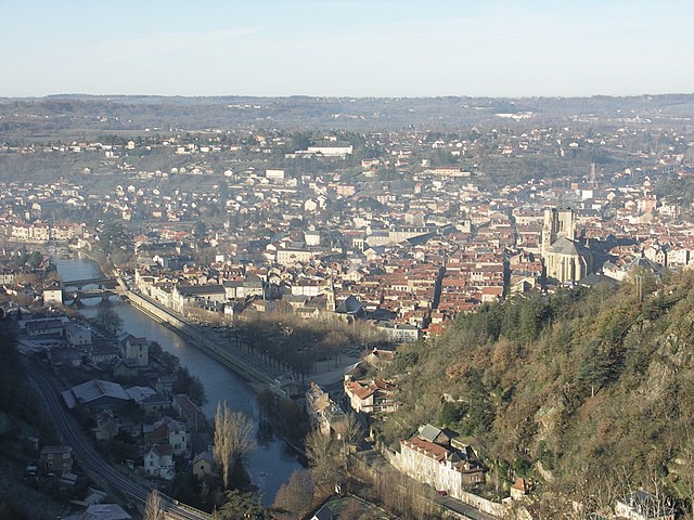
arrondissement of Villefranche-de-Rouergue (arrondissement de Villefranche-de-Rouergue)

- arrondissement of France
- Country:

- Capital: Villefranche-de-Rouergue
- Coordinates: 44° 20' 0" N, 2° 0' 0" E


- GPS tracks (wikiloc): [Link]
- Area: 1293 sq km
- Population: 88460
- Wikipedia en: wiki(en)
- Wikipedia: wiki(fr)
- Wikidata storage: Wikidata: Q175478
- Freebase ID: [/m/095gpv]
- GeoNames ID: Alt: [2968754]
- INSEE arrondissement code: [123]
- GNS Unique Feature ID: -1476738
Includes regions:

canton of Villefranche-de-Rouergue
- canton of France
- Country:
- Capital: Villefranche-de-Rouergue
- Coordinates: 44° 21' 12" N, 2° 2' 6" E
- GPS tracks (wikiloc): [Link]
- Area: 108.07 sq km
- Population: 13330

canton of Villeneuve
- canton of France (until March 2015)
- Country:
- Capital: Villeneuve
- Coordinates: 44° 26' 17" N, 2° 1' 57" E
- GPS tracks (wikiloc): [Link]
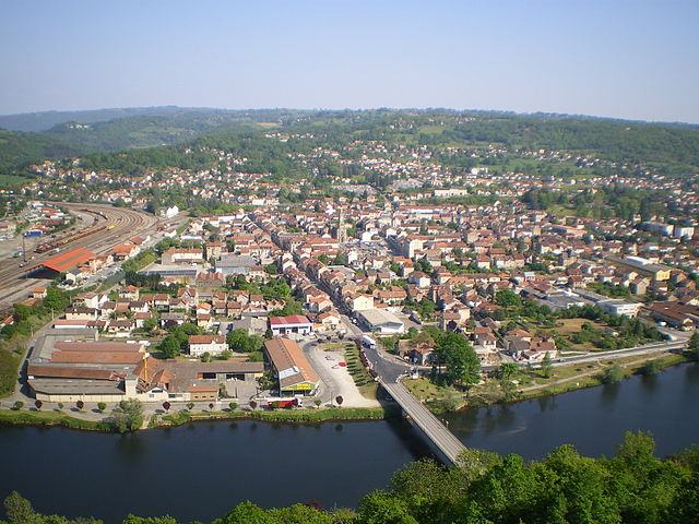
canton of Capdenac-Gare
- canton of France (until March 2015)
- Country:
- Capital: Capdenac-Gare
- Coordinates: 44° 34' 21" N, 2° 4' 54" E
- GPS tracks (wikiloc): [Link]

canton of Decazeville
- canton of France
- Country:
- Capital: Decazeville
- Coordinates: 44° 33' 35" N, 2° 15' 23" E
- GPS tracks (wikiloc): [Link]

canton of Montbazens
- canton of France
- Country:
- Capital: Montbazens
- Coordinates: 44° 28' 39" N, 2° 13' 47" E
- GPS tracks (wikiloc): [Link]
canton of Rieupeyroux
- canton of France
- Country:
- Capital: Rieupeyroux
- Coordinates: 44° 18' 31" N, 2° 14' 14" E
- GPS tracks (wikiloc): [Link]
