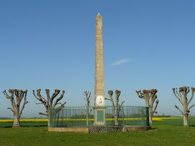
La Boissière (La Boissière)

- commune in Eure, France
- Country:

- Postal Code: 27220
- Coordinates: 48° 56' 43" N, 1° 22' 5" E


- GPS tracks (wikiloc): [Link]
- Area: 3.45 sq km
- Population: 274
- Web site: http://blog.laboissiere.org
- Wikipedia en: wiki(en)
- Wikipedia: wiki(fr)
- Wikidata storage: Wikidata: Q582650
- Wikipedia Commons Category: [Link]
- Freebase ID: [/m/03mhqgr]
- Freebase ID: [/m/03mhqgr]
- GeoNames ID: Alt: [6456805]
- GeoNames ID: Alt: [6456805]
- SIREN number: [212700785]
- SIREN number: [212700785]
- INSEE municipality code: 27078
- INSEE municipality code: 27078
Shares border with regions:

Épieds
- commune in Eure, France
- Country:
- Postal Code: 27730
- Coordinates: 48° 56' 6" N, 1° 23' 57" E
- GPS tracks (wikiloc): [Link]
- Area: 4.87 sq km
- Population: 365

Bretagnolles
- commune in Eure, France
- Country:
- Postal Code: 27220
- Coordinates: 48° 57' 6" N, 1° 21' 9" E
- GPS tracks (wikiloc): [Link]
- AboveSeaLevel: 140 м m
- Area: 3.78 sq km
- Population: 196


Merey
- commune in Eure, France
- Country:
- Postal Code: 27640
- Coordinates: 48° 57' 57" N, 1° 24' 26" E
- GPS tracks (wikiloc): [Link]
- Area: 8.66 sq km
- Population: 345


Le Plessis-Hébert
- commune in Eure, France
- Country:
- Postal Code: 27120
- Coordinates: 48° 59' 21" N, 1° 21' 6" E
- GPS tracks (wikiloc): [Link]
- Area: 11.73 sq km
- Population: 393


Boisset-les-Prévanches
- commune in Eure, France
- Country:
- Postal Code: 27120
- Coordinates: 48° 58' 5" N, 1° 19' 44" E
- GPS tracks (wikiloc): [Link]
- Area: 7.46 sq km
- Population: 451