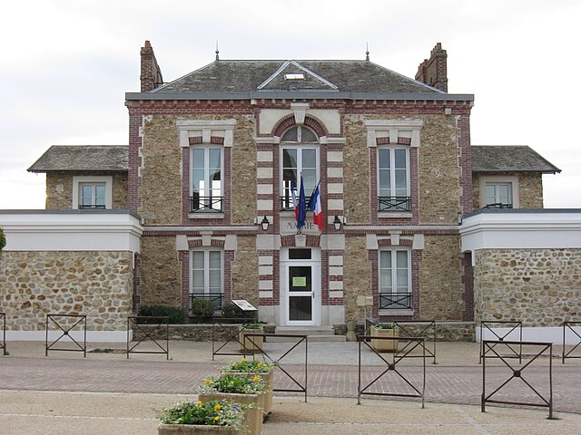
La Celle-sur-Morin (La Celle-sur-Morin)

- commune in Seine-et-Marne, France
- Country:

- Postal Code: 77515
- Coordinates: 48° 48' 23" N, 2° 57' 57" E


- GPS tracks (wikiloc): [Link]
- Area: 7.26 sq km
- Population: 1323
- Web site: http://www.lacellesurmorin.site-mairies.com
- Wikipedia en: wiki(en)
- Wikipedia: wiki(fr)
- Wikidata storage: Wikidata: Q1415652
- Wikipedia Commons Category: [Link]
- Freebase ID: [/m/02pt2zv]
- Freebase ID: [/m/02pt2zv]
- GeoNames ID: Alt: [6457083]
- GeoNames ID: Alt: [6457083]
- SIREN number: [217700632]
- SIREN number: [217700632]
- BnF ID: [15275404b]
- BnF ID: [15275404b]
- INSEE municipality code: 77063
- INSEE municipality code: 77063
Shares border with regions:


Hautefeuille
- commune in Seine-et-Marne, France
- Country:
- Postal Code: 77515
- Coordinates: 48° 45' 55" N, 2° 58' 0" E
- GPS tracks (wikiloc): [Link]
- Area: 9.8 sq km
- Population: 280

Pommeuse
- commune in Seine-et-Marne, France
- Country:
- Postal Code: 77515
- Coordinates: 48° 48' 57" N, 3° 0' 57" E
- GPS tracks (wikiloc): [Link]
- Area: 12.8 sq km
- Population: 2888
- Web site: [Link]


Faremoutiers
- commune in Seine-et-Marne, France
- Country:
- Postal Code: 77515
- Coordinates: 48° 48' 1" N, 2° 59' 46" E
- GPS tracks (wikiloc): [Link]
- Area: 10.93 sq km
- Population: 2681
- Web site: [Link]

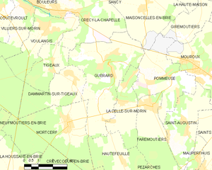
Guérard
- commune in Seine-et-Marne, France
- Country:
- Postal Code: 77580
- Coordinates: 48° 49' 29" N, 2° 57' 29" E
- GPS tracks (wikiloc): [Link]
- Area: 19.8 sq km
- Population: 2366
- Web site: [Link]