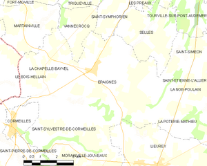
La Chapelle-Bayvel (La Chapelle-Bayvel)
- commune in Eure, France
- Country:

- Postal Code: 27260
- Coordinates: 49° 16' 19" N, 0° 24' 10" E


- GPS tracks (wikiloc): [Link]
- Area: 4.84 sq km
- Population: 400
- Wikipedia en: wiki(en)
- Wikipedia: wiki(fr)
- Wikidata storage: Wikidata: Q1074896
- Wikipedia Commons Category: [Link]
- Freebase ID: [/m/03mhr9k]
- Freebase ID: [/m/03mhr9k]
- GeoNames ID: Alt: [6455755]
- GeoNames ID: Alt: [6455755]
- SIREN number: [212701460]
- SIREN number: [212701460]
- BnF ID: [152533850]
- BnF ID: [152533850]
- INSEE municipality code: 27146
- INSEE municipality code: 27146
Shares border with regions:


Épaignes
- commune in Eure, France
- Country:

- Postal Code: 27260
- Coordinates: 49° 16' 46" N, 0° 26' 25" E


- GPS tracks (wikiloc): [Link]
- Area: 26.1 sq km
- Population: 1580


Martainville
- commune in Eure, France
- Country:

- Postal Code: 27210
- Coordinates: 49° 18' 24" N, 0° 24' 23" E


- GPS tracks (wikiloc): [Link]
- Area: 9.09 sq km
- Population: 462


Le Bois-Hellain
- commune in Eure, France
- Country:

- Postal Code: 27260
- Coordinates: 49° 16' 44" N, 0° 23' 22" E


- GPS tracks (wikiloc): [Link]
- Area: 3.2 sq km
- Population: 230


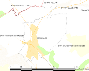
Cormeilles
- commune in Eure, France
- Country:

- Postal Code: 27260
- Coordinates: 49° 14' 53" N, 0° 22' 39" E


- GPS tracks (wikiloc): [Link]
- Area: 3.05 sq km
- Population: 1155
- Web site: [Link]
