La Chapelle-Montligeon (La Chapelle-Montligeon)

- commune in Orne, France
- Country:

- Postal Code: 61400
- Coordinates: 48° 29' 1" N, 0° 39' 12" E


- GPS tracks (wikiloc): [Link]
- Area: 8.33 sq km
- Population: 550
- Web site: http://www.chapelle-montligeon.fr
- Wikipedia en: wiki(en)
- Wikipedia: wiki(fr)
- Wikidata storage: Wikidata: Q1047591
- Wikipedia Commons Category: [Link]
- Freebase ID: [/m/03qgrsp]
- Freebase ID: [/m/03qgrsp]
- GeoNames ID: Alt: [6457004]
- GeoNames ID: Alt: [6457004]
- SIREN number: [216100974]
- SIREN number: [216100974]
- BnF ID: [152680320]
- BnF ID: [152680320]
- VIAF ID: Alt: [237028844]
- VIAF ID: Alt: [237028844]
- Library of Congress authority ID: Alt: [no2013020518]
- Library of Congress authority ID: Alt: [no2013020518]
- INSEE municipality code: 61097
- INSEE municipality code: 61097
Shares border with regions:


Courgeon
- commune in Orne, France
- Country:
- Postal Code: 61400
- Coordinates: 48° 28' 42" N, 0° 36' 43" E
- GPS tracks (wikiloc): [Link]
- Area: 10.41 sq km
- Population: 373
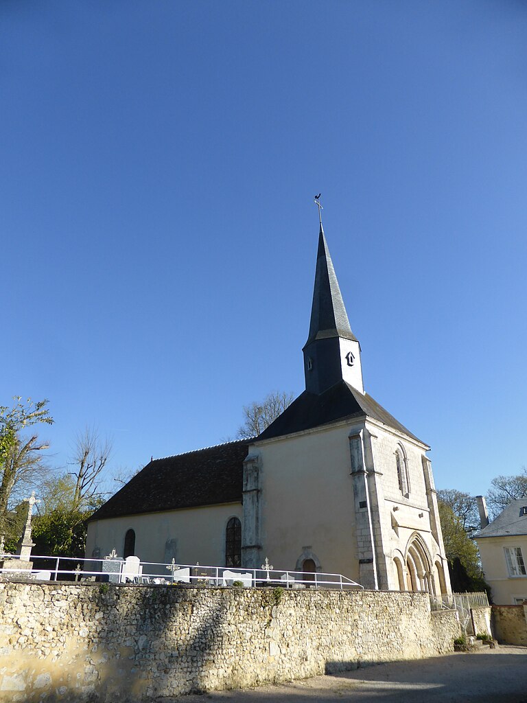

Corbon
- commune in Orne, France
- Country:
- Postal Code: 61400
- Coordinates: 48° 27' 15" N, 0° 37' 38" E
- GPS tracks (wikiloc): [Link]
- Area: 8.38 sq km
- Population: 137


Saint-Victor-de-Réno
- former commune in Orne, France
- Country:
- Postal Code: 61290
- Coordinates: 48° 30' 10" N, 0° 41' 55" E
- GPS tracks (wikiloc): [Link]
- Area: 12.32 sq km
- Population: 173


Maison-Maugis
- former commune in Orne, France
- Country:
- Postal Code: 61110
- Coordinates: 48° 27' 13" N, 0° 42' 9" E
- GPS tracks (wikiloc): [Link]
- Area: 5.67 sq km
- Population: 52
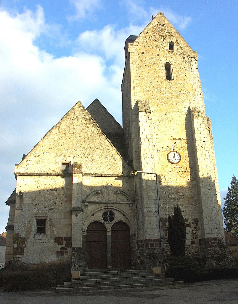

Saint-Mard-de-Réno
- commune in Orne, France
- Country:
- Postal Code: 61400
- Coordinates: 48° 30' 35" N, 0° 38' 1" E
- GPS tracks (wikiloc): [Link]
- Area: 19.13 sq km
- Population: 448
- Web site: [Link]