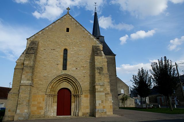
La Chapelle-Saint-Laurian (La Chapelle-Saint-Laurian)

- commune in Indre, France
- Country:

- Postal Code: 36150
- Coordinates: 47° 3' 44" N, 1° 46' 59" E


- GPS tracks (wikiloc): [Link]
- Area: 9.82 sq km
- Population: 147
- Wikipedia en: wiki(en)
- Wikipedia: wiki(fr)
- Wikidata storage: Wikidata: Q1061456
- Wikipedia Commons Category: [Link]
- Freebase ID: [/m/03nvbmf]
- GeoNames ID: Alt: [6456859]
- SIREN number: [213600414]
- BnF ID: [15257345q]
- INSEE municipality code: 36041
Shares border with regions:


Fontenay
- commune in Indre, France
- Country:
- Postal Code: 36150
- Coordinates: 47° 3' 38" N, 1° 44' 45" E
- GPS tracks (wikiloc): [Link]
- Area: 12.33 sq km
- Population: 90
- Web site: [Link]

Liniez
- commune in Indre, France
- Country:
- Postal Code: 36150
- Coordinates: 47° 1' 26" N, 1° 45' 5" E
- GPS tracks (wikiloc): [Link]
- Area: 26.94 sq km
- Population: 330
- Web site: [Link]
Saint-Florentin
- commune in Indre, France
- Country:
- Postal Code: 36150
- Coordinates: 47° 4' 33" N, 1° 48' 16" E
- GPS tracks (wikiloc): [Link]
- Area: 15.95 sq km
- Population: 545
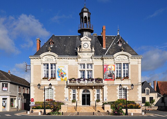
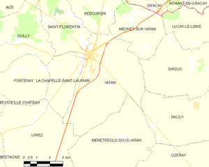
Vatan
- commune in Indre, France
- Country:
- Postal Code: 36150
- Coordinates: 47° 4' 24" N, 1° 48' 38" E
- GPS tracks (wikiloc): [Link]
- Area: 29.8 sq km
- Population: 2048
- Web site: [Link]
Guilly
- commune in Indre, France
- Country:
- Postal Code: 36150
- Coordinates: 47° 4' 53" N, 1° 43' 29" E
- GPS tracks (wikiloc): [Link]
- Area: 20.64 sq km
- Population: 243