La Chapelle-Saint-Rémy (La Chapelle-Saint-Rémy)

- commune in Sarthe, France
- Country:

- Postal Code: 72160
- Coordinates: 48° 6' 24" N, 0° 27' 23" E


- GPS tracks (wikiloc): [Link]
- Area: 19.2 sq km
- Population: 960
- Web site: http://www.lachapellesaintremy.fr/
- Wikipedia en: wiki(en)
- Wikipedia: wiki(fr)
- Wikidata storage: Wikidata: Q550033
- Wikipedia Commons Category: [Link]
- Freebase ID: [/m/03qkzgx]
- GeoNames ID: Alt: [6457056]
- SIREN number: [217200674]
- BnF ID: [152736241]
- INSEE municipality code: 72067
Shares border with regions:

Beillé
- commune in Sarthe, France
- Country:
- Postal Code: 72160
- Coordinates: 48° 4' 59" N, 0° 30' 36" E
- GPS tracks (wikiloc): [Link]
- Area: 8.48 sq km
- Population: 546


Lombron
- commune in Sarthe, France
- Country:
- Postal Code: 72450
- Coordinates: 48° 4' 41" N, 0° 25' 5" E
- GPS tracks (wikiloc): [Link]
- Area: 24.11 sq km
- Population: 1925


Prévelles
- commune in Sarthe, France
- Country:
- Postal Code: 72110
- Coordinates: 48° 9' 10" N, 0° 29' 0" E
- GPS tracks (wikiloc): [Link]
- Area: 4.81 sq km
- Population: 218
- Web site: [Link]


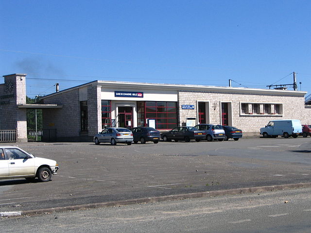
Connerré
- commune in Sarthe, France
- Country:
- Postal Code: 72160
- Coordinates: 48° 3' 39" N, 0° 29' 43" E
- GPS tracks (wikiloc): [Link]
- Area: 16.6 sq km
- Population: 2898
- Web site: [Link]


Saint-Célerin
- commune in Sarthe, France
- Country:
- Postal Code: 72110
- Coordinates: 48° 7' 24" N, 0° 25' 52" E
- GPS tracks (wikiloc): [Link]
- Area: 13.47 sq km
- Population: 873