La Daguenière (La Daguenière)

- former commune in Maine-et-Loire, France
- Country:

- Postal Code: 49800
- Coordinates: 47° 25' 11" N, 0° 26' 12" E


- GPS tracks (wikiloc): [Link]
- Area: 11.92 sq km
- Population: 1267
- Web site: http://www.ladagueniere.mairie49.fr
- Wikipedia en: wiki(en)
- Wikipedia: wiki(fr)
- Wikidata storage: Wikidata: Q1103390
- Wikipedia Commons Category: [Link]
- Freebase ID: [/m/03w9jb6]
- GeoNames ID: Alt: [3009683]
- BnF ID: [152617191]
- VIAF ID: Alt: [130355994]
- Library of Congress authority ID: Alt: [n97022104]
- WOEID: [598022]
- INSEE municipality code: 49117
Shares border with regions:


Brain-sur-l'Authion
- former commune in Maine-et-Loire, France
- Country:
- Postal Code: 49800
- Coordinates: 47° 26' 46" N, 0° 24' 39" E
- GPS tracks (wikiloc): [Link]
- Area: 22.92 sq km
- Population: 3466
- Web site: [Link]

Juigné-sur-Loire
- former commune in Maine-et-Loire, France
- Country:
- Postal Code: 49610
- Coordinates: 47° 24' 27" N, 0° 28' 33" E
- GPS tracks (wikiloc): [Link]
- Area: 12.49 sq km
- Population: 2686
- Web site: [Link]
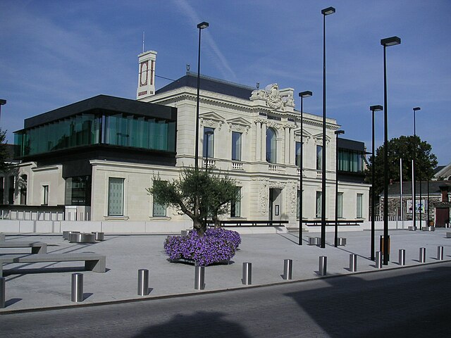
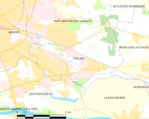
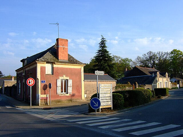
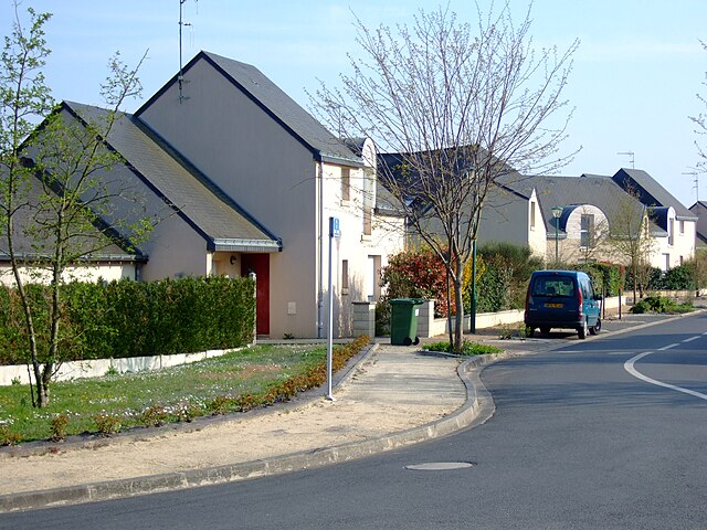
Trélazé
- commune in Maine-et-Loire, France
- Country:
- Postal Code: 49800
- Coordinates: 47° 26' 46" N, 0° 27' 59" E
- GPS tracks (wikiloc): [Link]
- Area: 12.2 sq km
- Population: 14145
- Web site: [Link]


Saint-Jean-des-Mauvrets
- former commune in Maine-et-Loire, France
- Country:
- Postal Code: 49320
- Coordinates: 47° 23' 55" N, 0° 26' 57" E
- GPS tracks (wikiloc): [Link]
- Area: 12.76 sq km
- Population: 1751
- Web site: [Link]
Saint-Sulpice
- former commune in Maine-et-Loire, France
- Country:
- Postal Code: 49320
- Coordinates: 47° 24' 0" N, 0° 25' 2" E
- GPS tracks (wikiloc): [Link]
- AboveSeaLevel: 25 м m
- Area: 2.9 sq km
- Population: 195
- Web site: [Link]

Saint-Saturnin-sur-Loire
- former commune in Maine-et-Loire, France
- Country:
- Postal Code: 49320
- Coordinates: 47° 23' 42" N, 0° 26' 9" E
- GPS tracks (wikiloc): [Link]
- Area: 11.94 sq km
- Population: 1389
- Web site: [Link]


La Bohalle
- former commune in Maine-et-Loire, France
- Country:
- Postal Code: 49800
- Coordinates: 47° 25' 24" N, 0° 23' 15" E
- GPS tracks (wikiloc): [Link]
- Area: 9.35 sq km
- Population: 1259


Les Ponts-de-Cé
- commune in Maine-et-Loire, France
- Country:
- Postal Code: 49130
- Coordinates: 47° 25' 28" N, 0° 31' 31" E
- GPS tracks (wikiloc): [Link]
- AboveSeaLevel: 26 м m
- Area: 19.55 sq km
- Population: 12488
- Web site: [Link]