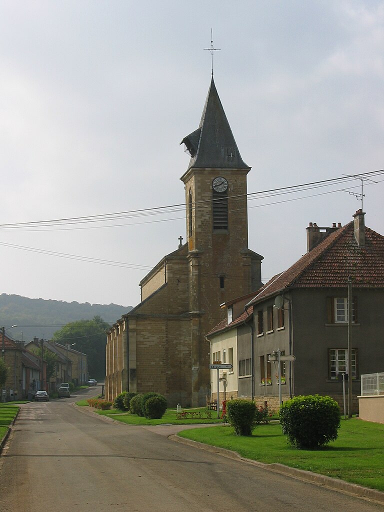
La Ferté-sur-Chiers (La Ferté-sur-Chiers)
- commune in Ardennes, France
- Country:

- Postal Code: 08370
- Coordinates: 49° 34' 30" N, 5° 14' 31" E


- GPS tracks (wikiloc): [Link]
- Area: 6.41 sq km
- Population: 172
- Wikipedia en: wiki(en)
- Wikipedia: wiki(fr)
- Wikidata storage: Wikidata: Q1088733
- Wikipedia Commons Category: [Link]
- Freebase ID: [/m/03m8d6_]
- GeoNames ID: Alt: [3009478]
- SIREN number: [210801536]
- INSEE municipality code: 08168
Shares border with regions:
Malandry
- commune in Ardennes, France
- Country:
- Postal Code: 08370
- Coordinates: 49° 34' 48" N, 5° 11' 46" E
- GPS tracks (wikiloc): [Link]
- Area: 6.87 sq km
- Population: 88

Margut
- commune in Ardennes, France
- Country:
- Postal Code: 08370
- Coordinates: 49° 35' 3" N, 5° 15' 39" E
- GPS tracks (wikiloc): [Link]
- Area: 7.53 sq km
- Population: 774
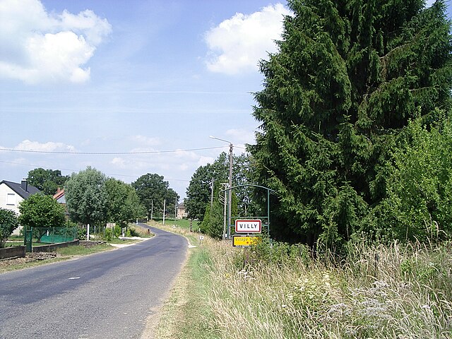
Villy
- commune in Ardennes, France
- Country:
- Postal Code: 08370
- Coordinates: 49° 35' 37" N, 5° 13' 33" E
- GPS tracks (wikiloc): [Link]
- Area: 7.78 sq km
- Population: 207

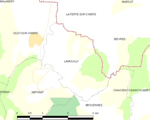
Lamouilly
- commune in Meuse, France
- Country:
- Postal Code: 55700
- Coordinates: 49° 32' 51" N, 5° 14' 3" E
- GPS tracks (wikiloc): [Link]
- Area: 4.76 sq km
- Population: 94


Bièvres
- commune in Ardennes, France
- Country:
- Postal Code: 08370
- Coordinates: 49° 33' 24" N, 5° 15' 54" E
- GPS tracks (wikiloc): [Link]
- Area: 7.3 sq km
- Population: 51
Olizy-sur-Chiers
- commune in Meuse, France
- Country:
- Postal Code: 55700
- Coordinates: 49° 33' 22" N, 5° 13' 16" E
- GPS tracks (wikiloc): [Link]
- Area: 9.22 sq km
- Population: 190