La Garde (La Garde)
- commune in Isère, France
La Garde is a charming commune located in the Isère department in southeastern France, nestled in the picturesque landscape of the French Alps. It's a great destination for hiking enthusiasts, offering a variety of trails that cater to different skill levels.
Hiking Trails
-
Local Nature Trails: There are several marked trails around La Garde that allow hikers to explore the stunning alpine environment. These paths often take you through beautiful forests, meadows filled with wildflowers, and offer stunning views of the surrounding mountains.
-
Sentier des Balcons: This trail provides breathtaking panoramic views of the valley and the surrounding peaks. It's a great option for those looking for a moderate hike where they can enjoy the scenery without engaging in too strenuous a trek.
-
Access to Higher Trails: Depending on the season and conditions, hikers can access higher-altitude trails that lead to distinctive alpine landscapes, such as glacial lakes and rocky outcrops. It's essential to check trail conditions if you decide to venture out toward more advanced routes.
Best Time to Hike
The best times to hike in La Garde are typically late spring (May to June) and early fall (September to October). During these periods, the weather is generally mild, and the trails are less crowded. Summer can also be fantastic, but certain trails may be busier with tourists.
Preparation and Safety
- Gear: Always wear sturdy hiking boots, bring plenty of water, and carry snacks. If you're hiking in the higher elevations, pack layers as temperatures can change rapidly.
- Maps and Navigation: Acquire local hiking maps or download GPS trail apps to ensure you stay on the right path. The terrain can be rugged, and signage may not always be clear.
- Group Hiking: For safety, consider hiking with a friend or in a group, especially if you're tackling more challenging trails.
Wildlife and Scenery
While hiking in La Garde, you might encounter diverse wildlife, including deer and various bird species, and you’ll be treated to stunning natural scenery that features everything from rocky landscapes to lush valleys.
Overall, La Garde offers a fantastic experience for hikers looking to explore the natural beauty of the Isère region. Just remember to respect the environment and follow local guidelines while enjoying your adventures!
- Country:

- Postal Code: 38520
- Coordinates: 45° 4' 8" N, 6° 2' 45" E


- GPS tracks (wikiloc): [Link]
- AboveSeaLevel: 982 м m
- Area: 9.09 sq km
- Population: 100
- Web site: http://www.lagardeenoisans.com
- Wikipedia en: wiki(en)
- Wikipedia: wiki(fr)
- Wikidata storage: Wikidata: Q303504
- Wikipedia Commons Category: [Link]
- Freebase ID: [/m/03nvj_m]
- GeoNames ID: Alt: [6616658]
- SIREN number: [213801772]
- BnF ID: [15257997m]
- PACTOLS thesaurus ID: [pcrtf8t1UjAMuw]
- INSEE municipality code: 38177
Shares border with regions:

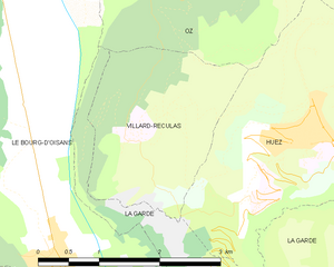
Villard-Reculas
- commune in Isère, France
Villard-Reculas is a charming alpine village located in the French Alps, part of the larger Alpe d'Huez ski area. It’s a fantastic destination for hiking enthusiasts, offering a variety of trails that cater to different levels of experience. Here are some key features and tips for hiking in Villard-Reculas:...
- Country:

- Postal Code: 38114
- Coordinates: 45° 5' 32" N, 6° 1' 54" E


- GPS tracks (wikiloc): [Link]
- Area: 4.99 sq km
- Population: 57
- Web site: [Link]
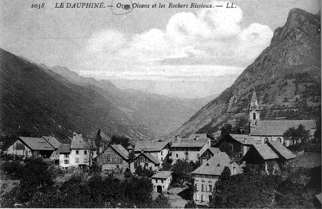

Oz
- commune in Isère, France
Hiking in Oz, a charming alpine village located in the Isère department of France, offers exhilarating experiences amidst breathtaking scenery. Situated within the Grandes Rousses mountains in the French Alps, Oz is part of the Alpe d'Huez ski area, which transforms into a hiker's paradise during the summer months....
- Country:

- Postal Code: 38114
- Coordinates: 45° 8' 27" N, 6° 3' 7" E


- GPS tracks (wikiloc): [Link]
- Area: 16.81 sq km
- Population: 246
- Web site: [Link]

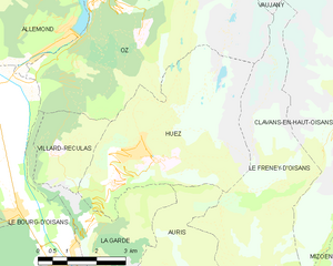
Huez
- commune in Isère, France
Alpe d'Huez, situated in the French Alps, is well-known for its winter sports, but it offers excellent hiking opportunities during the summer months. Here are some highlights and tips for hiking in the Huez area:...
- Country:

- Postal Code: 38750
- Coordinates: 45° 4' 57" N, 6° 3' 33" E


- GPS tracks (wikiloc): [Link]
- Area: 14.16 sq km
- Population: 1335
- Web site: [Link]
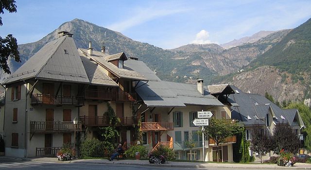
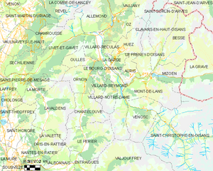
Le Bourg-d'Oisans
- commune in Isère, France
Le Bourg-d'Oisans is a charming commune located in the French Alps, nestled between the Oisans mountain range and the breathtaking Ecrins National Park. It's an excellent base for those who enjoy hiking, as it offers a variety of trails suitable for all experience levels, from beginner to advanced....
- Country:

- Postal Code: 38520
- Coordinates: 45° 3' 19" N, 6° 1' 46" E


- GPS tracks (wikiloc): [Link]
- Area: 35.75 sq km
- Population: 3239
- Web site: [Link]


Auris
- commune in Isère, France
Auris, located in the Isère department of the Auvergne-Rhône-Alpes region in France, offers stunning hiking opportunities, especially for those looking to explore the beautiful landscapes of the French Alps. Here’s a guide to hiking in Auris:...
- Country:

- Postal Code: 38142
- Coordinates: 45° 2' 47" N, 6° 5' 12" E


- GPS tracks (wikiloc): [Link]
- Area: 11.21 sq km
- Population: 201
- Web site: [Link]

