La Grigonnais (La Grigonnais)

- commune in Loire-Atlantique, France
- Country:

- Postal Code: 44170
- Coordinates: 47° 31' 36" N, 1° 40' 3" E


- GPS tracks (wikiloc): [Link]
- Area: 21.22 sq km
- Population: 1651
- Web site: http://www.lagrigonnais.fr
- Wikipedia en: wiki(en)
- Wikipedia: wiki(fr)
- Wikidata storage: Wikidata: Q1226641
- Wikipedia Commons Category: [Link]
- Freebase ID: [/m/03nwdw0]
- Freebase ID: [/m/03nwdw0]
- GeoNames ID: Alt: [3008884]
- GeoNames ID: Alt: [3008884]
- SIREN number: [214402240]
- SIREN number: [214402240]
- BnF ID: [152603933]
- BnF ID: [152603933]
- INSEE municipality code: 44224
- INSEE municipality code: 44224
Shares border with regions:


Vay
- commune in Loire-Atlantique, France
- Country:
- Postal Code: 44170
- Coordinates: 47° 33' 17" N, 1° 42' 4" E
- GPS tracks (wikiloc): [Link]
- Area: 36.13 sq km
- Population: 2071
- Web site: [Link]

La Chevallerais
- commune in Loire-Atlantique, France
- Country:
- Postal Code: 44810
- Coordinates: 47° 28' 3" N, 1° 40' 17" E
- GPS tracks (wikiloc): [Link]
- Area: 10.23 sq km
- Population: 1563
- Web site: [Link]


Blain
- commune in Loire-Atlantique, France
- Country:
- Postal Code: 44130
- Coordinates: 47° 28' 34" N, 1° 45' 49" E
- GPS tracks (wikiloc): [Link]
- Area: 101.72 sq km
- Population: 9638
- Web site: [Link]


Puceul
- commune in Loire-Atlantique, France
- Country:
- Postal Code: 44390
- Coordinates: 47° 31' 19" N, 1° 37' 1" E
- GPS tracks (wikiloc): [Link]
- Area: 20.09 sq km
- Population: 1098
- Web site: [Link]

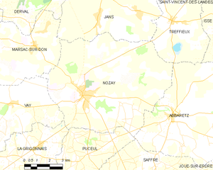
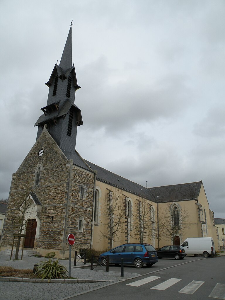
Nozay
- commune in Loire-Atlantique, France
- Country:
- Postal Code: 44170
- Coordinates: 47° 33' 52" N, 1° 37' 31" E
- GPS tracks (wikiloc): [Link]
- Area: 57.7 sq km
- Population: 4087
- Web site: [Link]