
Loire-Atlantique (Loire-Atlantique)
- French department
- Country:

- Capital: Nantes
- Coordinates: 47° 20' 0" N, 1° 40' 0" E


- GPS tracks (wikiloc): [Link]
- Area: 6809 sq km
- Population: 1365227
- Web site: http://www.loire-atlantique.fr/
- Wikipedia en: wiki(en)
- Wikipedia: wiki(fr)
- Wikidata storage: Wikidata: Q3068
- Wikipedia Commons Gallery: [Link]
- Wikipedia Commons Category: [Link]
- Wikipedia Commons Maps Category: [Link]
- Freebase ID: [/m/0mh7s]
- GeoNames ID: Alt: [2997861]
- SIREN number: [224400028]
- BnF ID: [119370961]
- VIAF ID: Alt: [155520947]
- OSM relation ID: [7432]
- GND ID: Alt: [4111362-7]
- archINFORM location ID: [2750]
- Library of Congress authority ID: Alt: [n81042223]
- PACTOLS thesaurus ID: [pcrt838rXVo1E0]
- MusicBrainz area ID: [275be2d4-d224-4d20-bbda-12e59db9e61d]
- Quora topic ID: [Loire-Atlantique]
- TGN ID: [7002959]
- SUDOC authorities ID: [026488701]
- Encyclopædia Britannica Online ID: [place/Loire-Atlantique]
- Gran Enciclopèdia Catalana ID: [0038359]
- Twitter username: Alt: [loireatlantique]
- data.gouv.fr org ID: [departement-de-loire-atlantique]
- National Library of Israel ID: [000984621]
- NUTS code: [FR511]
- INSEE department code: [44]
- ISO 3166-2 code: FR-44
Includes regions:

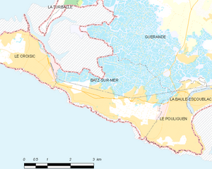
Batz-sur-Mer
- commune in Loire-Atlantique, France
- Country:

- Postal Code: 44740
- Coordinates: 47° 16' 39" N, 2° 28' 49" E


- GPS tracks (wikiloc): [Link]
- Area: 9.27 sq km
- Population: 2974
- Web site: [Link]


La Bernerie-en-Retz
- commune in Loire-Atlantique, France
- Country:

- Postal Code: 44760
- Coordinates: 47° 4' 53" N, 2° 2' 15" E


- GPS tracks (wikiloc): [Link]
- Area: 6.09 sq km
- Population: 2834
- Web site: [Link]


Gétigné
- commune in Loire-Atlantique, France
- Country:

- Postal Code: 44190
- Coordinates: 47° 4' 32" N, 1° 14' 58" E


- GPS tracks (wikiloc): [Link]
- Area: 23.97 sq km
- Population: 3614
- Web site: [Link]

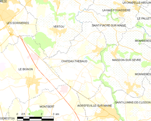
Château-Thébaud
- commune in Loire-Atlantique, France
- Country:

- Postal Code: 44690
- Coordinates: 47° 7' 30" N, 1° 25' 11" E


- GPS tracks (wikiloc): [Link]
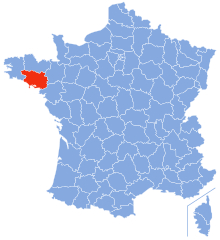
- AboveSeaLevel: 60 м m
- Area: 17.64 sq km
- Population: 2983
- Web site: [Link]


Conquereuil
- commune in Loire-Atlantique, France
- Country:

- Postal Code: 44290
- Coordinates: 47° 37' 28" N, 1° 45' 5" E


- GPS tracks (wikiloc): [Link]
- Area: 32.87 sq km
- Population: 1099


Corcoué-sur-Logne
- commune in Loire-Atlantique, France
- Country:

- Postal Code: 44650
- Coordinates: 46° 57' 56" N, 1° 34' 37" E


- GPS tracks (wikiloc): [Link]
- AboveSeaLevel: 47 м m
- Area: 50.39 sq km
- Population: 2825
- Web site: [Link]


Haute-Goulaine
- commune in Loire-Atlantique, France
- Country:

- Postal Code: 44115
- Coordinates: 47° 11' 57" N, 1° 25' 46" E


- GPS tracks (wikiloc): [Link]
- Area: 20.59 sq km
- Population: 5633
- Web site: [Link]


Corsept
- commune in Loire-Atlantique, France
- Country:

- Postal Code: 44560
- Coordinates: 47° 16' 39" N, 2° 3' 33" E


- GPS tracks (wikiloc): [Link]
- Area: 23.62 sq km
- Population: 2700
- Web site: [Link]

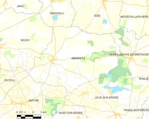
Abbaretz
- commune in Loire-Atlantique, France
- Country:

- Postal Code: 44170
- Coordinates: 47° 33' 9" N, 1° 31' 54" E


- GPS tracks (wikiloc): [Link]
- Area: 61.76 sq km
- Population: 2042
- Web site: [Link]
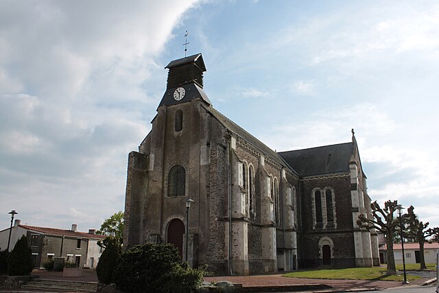

Barbechat
- former commune in Loire-Atlantique, France
- Country:

- Postal Code: 44450
- Coordinates: 47° 16' 39" N, 1° 17' 11" E


- GPS tracks (wikiloc): [Link]
- Area: 11.76 sq km
- Population: 1366
- Web site: [Link]


Le Bignon
- commune in Loire-Atlantique, France
- Country:

- Postal Code: 44140
- Coordinates: 47° 5' 54" N, 1° 29' 26" E


- GPS tracks (wikiloc): [Link]
- AboveSeaLevel: 23 м m
- Area: 27.54 sq km
- Population: 3667
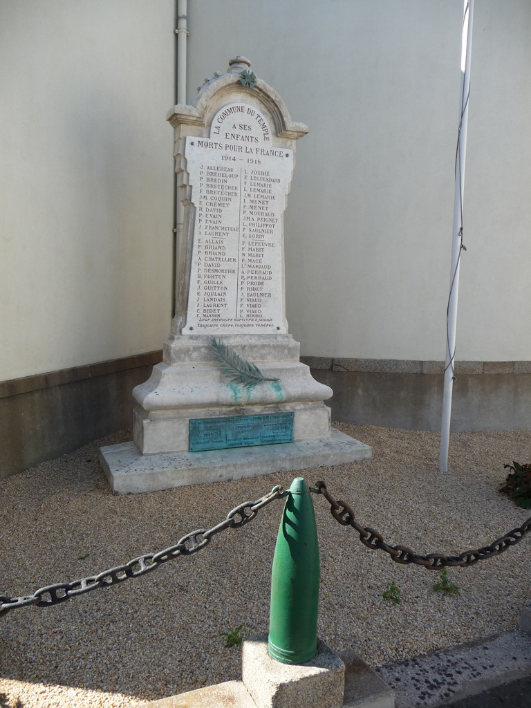

Le Temple-de-Bretagne
- commune in Loire-Atlantique, France
- Country:

- Postal Code: 44360
- Coordinates: 47° 19' 41" N, 1° 47' 24" E


- GPS tracks (wikiloc): [Link]
- Area: 1.6 sq km
- Population: 1889
- Web site: [Link]


Trignac
- commune in Loire-Atlantique, France
- Country:

- Postal Code: 44570
- Coordinates: 47° 19' 5" N, 2° 11' 21" E


- GPS tracks (wikiloc): [Link]
- Area: 14.38 sq km
- Population: 7636
- Web site: [Link]


Touvois
- commune in Loire-Atlantique, France
- Country:

- Postal Code: 44650
- Coordinates: 46° 54' 10" N, 1° 40' 59" E


- GPS tracks (wikiloc): [Link]
- Area: 39.21 sq km
- Population: 1770

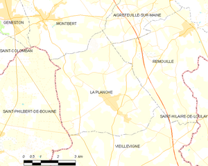
La Planche
- commune in Loire-Atlantique, France
- Country:

- Postal Code: 44140
- Coordinates: 47° 0' 59" N, 1° 26' 7" E


- GPS tracks (wikiloc): [Link]
- Area: 24.42 sq km
- Population: 2576
- Web site: [Link]


Saint-Hilaire-de-Clisson
- commune in Loire-Atlantique, France
- Country:

- Postal Code: 44190
- Coordinates: 47° 3' 44" N, 1° 18' 28" E


- GPS tracks (wikiloc): [Link]
- Area: 18.43 sq km
- Population: 2222
- Web site: [Link]


Boussay
- commune in Loire-Atlantique, France
- Country:

- Postal Code: 44190
- Coordinates: 47° 2' 39" N, 1° 11' 11" E


- GPS tracks (wikiloc): [Link]
- Area: 26.45 sq km
- Population: 2629
- Web site: [Link]


Saint-Gildas-des-Bois
- commune in Loire-Atlantique, France
- Country:

- Postal Code: 44530
- Coordinates: 47° 30' 59" N, 2° 2' 18" E


- GPS tracks (wikiloc): [Link]
- Area: 33.42 sq km
- Population: 3751
- Web site: [Link]


Saint-Mars-du-Désert
- commune in Loire-Atlantique, France
- Country:

- Postal Code: 44850
- Coordinates: 47° 21' 59" N, 1° 24' 21" E


- GPS tracks (wikiloc): [Link]
- Area: 30.46 sq km
- Population: 4721
- Web site: [Link]


Ruffigné
- commune in Loire-Atlantique, France
- Country:

- Postal Code: 44660
- Coordinates: 47° 45' 25" N, 1° 29' 37" E


- GPS tracks (wikiloc): [Link]
- Area: 33.63 sq km
- Population: 714
- Web site: [Link]


Montbert
- commune in Loire-Atlantique, France
- Country:

- Postal Code: 44140
- Coordinates: 47° 3' 28" N, 1° 29' 20" E


- GPS tracks (wikiloc): [Link]
- Area: 28.24 sq km
- Population: 3076
- Web site: [Link]


Saint-Père-en-Retz
- commune in Loire-Atlantique, France
- Country:

- Postal Code: 44320
- Coordinates: 47° 12' 20" N, 2° 2' 27" E


- GPS tracks (wikiloc): [Link]
- Area: 62.72 sq km
- Population: 4488
- Web site: [Link]
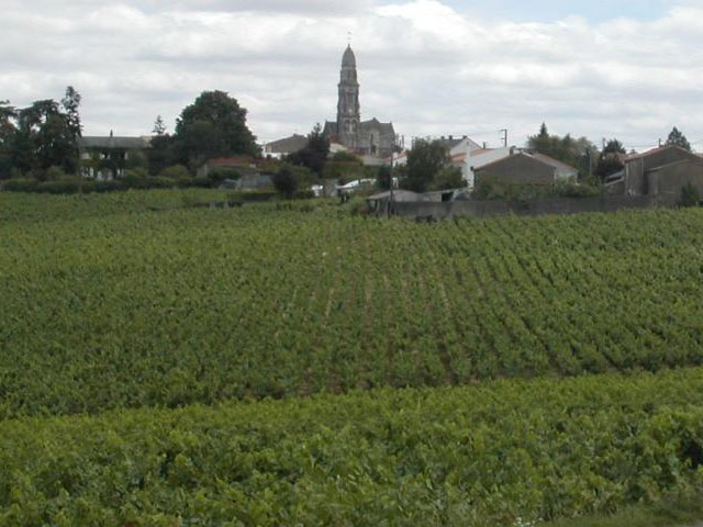

Saint-Fiacre-sur-Maine
- commune in Loire-Atlantique, France
- Country:

- Postal Code: 44690
- Coordinates: 47° 8' 36" N, 1° 25' 0" E


- GPS tracks (wikiloc): [Link]
- Area: 5.97 sq km
- Population: 1164
- Web site: [Link]

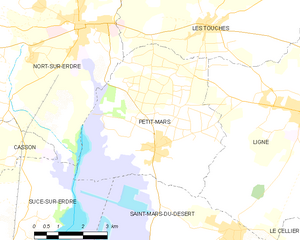
Petit-Mars
- commune in Loire-Atlantique, France
- Country:

- Postal Code: 44390
- Coordinates: 47° 23' 39" N, 1° 27' 18" E


- GPS tracks (wikiloc): [Link]
- Area: 25.97 sq km
- Population: 3608
- Web site: [Link]
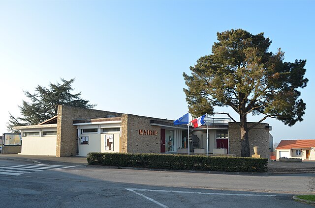
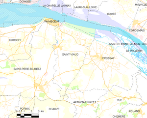
Saint-Viaud
- commune in Loire-Atlantique, France
- Country:

- Postal Code: 44320
- Coordinates: 47° 15' 21" N, 2° 1' 10" E


- GPS tracks (wikiloc): [Link]
- Area: 32.63 sq km
- Population: 2407
- Web site: [Link]

Rougé
- commune in Loire-Atlantique, France
- Country:

- Postal Code: 44660
- Coordinates: 47° 46' 58" N, 1° 26' 54" E


- GPS tracks (wikiloc): [Link]
- Area: 56.32 sq km
- Population: 2247
- Web site: [Link]


Le Loroux-Bottereau
- commune in Loire-Atlantique, France
- Country:

- Postal Code: 44430
- Coordinates: 47° 14' 17" N, 1° 20' 57" E


- GPS tracks (wikiloc): [Link]
- Area: 45.31 sq km
- Population: 8031
- Web site: [Link]


Mouzillon
- commune in Loire-Atlantique, France
- Country:

- Postal Code: 44330
- Coordinates: 47° 8' 29" N, 1° 16' 56" E


- GPS tracks (wikiloc): [Link]
- Area: 16.5 sq km
- Population: 2764
- Web site: [Link]


Lavau-sur-Loire
- commune in Loire-Atlantique, France
- Country:

- Postal Code: 44260
- Coordinates: 47° 18' 25" N, 1° 58' 1" E


- GPS tracks (wikiloc): [Link]
- Area: 16.22 sq km
- Population: 761
- Web site: [Link]


Maisdon-sur-Sèvre
- commune in Loire-Atlantique, France
- Country:

- Postal Code: 44690
- Coordinates: 47° 5' 50" N, 1° 23' 6" E


- GPS tracks (wikiloc): [Link]
- Area: 17.45 sq km
- Population: 2873
- Web site: [Link]


Fercé
- commune in Loire-Atlantique, France
- Country:

- Postal Code: 44660
- Coordinates: 47° 47' 46" N, 1° 24' 55" E


- GPS tracks (wikiloc): [Link]
- AboveSeaLevel: 115 м m
- Area: 22.04 sq km
- Population: 493
- Web site: [Link]


Massérac
- commune in Loire-Atlantique, France
- Country:

- Postal Code: 44290
- Coordinates: 47° 40' 22" N, 1° 54' 53" E


- GPS tracks (wikiloc): [Link]
- Area: 18.78 sq km
- Population: 694
- Web site: [Link]


Le Fresne-sur-Loire
- former commune in Loire-Atlantique, France
- Country:

- Postal Code: 49123
- Coordinates: 47° 24' 3" N, 0° 55' 42" E


- GPS tracks (wikiloc): [Link]
- Area: 6.29 sq km
- Population: 977
- Web site: [Link]

Saint-Étienne-de-Montluc
- commune in Loire-Atlantique, France
- Country:

- Postal Code: 44360
- Coordinates: 47° 16' 35" N, 1° 46' 49" E


- GPS tracks (wikiloc): [Link]
- Area: 57.57 sq km
- Population: 6840
- Web site: [Link]

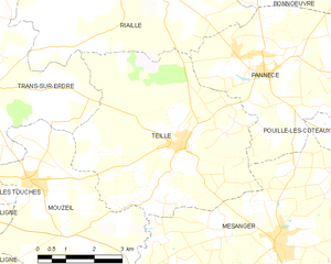
Teillé
- commune in Loire-Atlantique, France
- Country:

- Postal Code: 44440
- Coordinates: 47° 27' 42" N, 1° 16' 47" E


- GPS tracks (wikiloc): [Link]
- AboveSeaLevel: 58 м m
- Area: 28.55 sq km
- Population: 1779
- Web site: [Link]


Sainte-Anne-sur-Brivet
- commune in Loire-Atlantique, France
- Country:

- Postal Code: 44160
- Coordinates: 47° 27' 35" N, 2° 0' 12" E


- GPS tracks (wikiloc): [Link]
- Area: 25.99 sq km
- Population: 2922
- Web site: [Link]

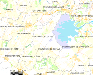
Saint-Mars-de-Coutais
- commune in Loire-Atlantique, France
- Country:

- Postal Code: 44680
- Coordinates: 47° 6' 42" N, 1° 44' 4" E


- GPS tracks (wikiloc): [Link]
- Area: 34.67 sq km
- Population: 2627
- Web site: [Link]


Montoir-de-Bretagne
- commune in Loire-Atlantique, France
- Country:

- Postal Code: 44550
- Coordinates: 47° 19' 42" N, 2° 8' 57" E


- GPS tracks (wikiloc): [Link]
- Area: 36.79 sq km
- Population: 7058
- Web site: [Link]


Petit-Auverné
- commune in Loire-Atlantique, France
- Country:

- Postal Code: 44670
- Coordinates: 47° 36' 36" N, 1° 17' 26" E


- GPS tracks (wikiloc): [Link]
- Area: 22.53 sq km
- Population: 432
- Web site: [Link]

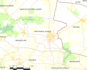
Saint-Mars-la-Jaille
- commune in Loire-Atlantique, France
- Country:

- Postal Code: 44540
- Coordinates: 47° 31' 31" N, 1° 11' 5" E


- GPS tracks (wikiloc): [Link]
- Area: 20.06 sq km
- Population: 2400
- Web site: [Link]


Saint-André-des-Eaux
- commune in Loire-Atlantique, France
- Country:

- Postal Code: 44117
- Coordinates: 47° 18' 50" N, 2° 18' 39" E


- GPS tracks (wikiloc): [Link]
- Area: 24.71 sq km
- Population: 6197
- Web site: [Link]


Saint-Julien-de-Vouvantes
- commune in Loire-Atlantique, France
- Country:

- Postal Code: 44670
- Coordinates: 47° 38' 30" N, 1° 14' 20" E


- GPS tracks (wikiloc): [Link]
- Area: 25.6 sq km
- Population: 968
- Web site: [Link]


Saint-Lumine-de-Clisson
- commune in Loire-Atlantique, France
- Country:

- Postal Code: 44190
- Coordinates: 47° 5' 1" N, 1° 20' 13" E


- GPS tracks (wikiloc): [Link]
- Area: 18.26 sq km
- Population: 2118
- Web site: [Link]


Saint-Sulpice-des-Landes
- commune in Loire-Atlantique, France
- Country:

- Postal Code: 44540
- Coordinates: 47° 34' 29" N, 1° 12' 22" E


- GPS tracks (wikiloc): [Link]
- Area: 30.78 sq km
- Population: 686
- Web site: [Link]

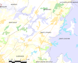
Saint-Lyphard
- commune in Loire-Atlantique, France
- Country:

- Postal Code: 44410
- Coordinates: 47° 23' 52" N, 2° 18' 28" E


- GPS tracks (wikiloc): [Link]
- Area: 24.63 sq km
- Population: 4627
- Web site: [Link]


Saint-Hilaire-de-Chaléons
- commune in Loire-Atlantique, France
- Country:

- Postal Code: 44680
- Coordinates: 47° 6' 11" N, 1° 51' 54" E


- GPS tracks (wikiloc): [Link]
- Area: 34.98 sq km
- Population: 2235
- Web site: [Link]


Saint-Géréon
- commune in Loire-Atlantique, France
- Country:

- Postal Code: 44150
- Coordinates: 47° 22' 9" N, 1° 11' 54" E


- GPS tracks (wikiloc): [Link]
- Area: 7.51 sq km
- Population: 2893
- Web site: [Link]


Saint-Herblon
- former commune in Loire-Atlantique, France
- Country:

- Postal Code: 44150
- Coordinates: 47° 24' 30" N, 1° 5' 45" E


- GPS tracks (wikiloc): [Link]
- Area: 36.9 sq km
- Population: 2493
- Web site: [Link]

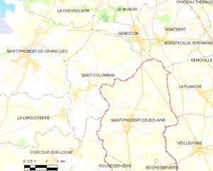
Saint-Colomban
- commune in Loire-Atlantique, France
- Country:

- Postal Code: 44310
- Coordinates: 47° 0' 32" N, 1° 35' 1" E


- GPS tracks (wikiloc): [Link]
- AboveSeaLevel: 15 м m
- Area: 35.72 sq km
- Population: 3316
- Web site: [Link]


Le Landreau
- commune in Loire-Atlantique, France
- Country:

- Postal Code: 44430
- Coordinates: 47° 12' 18" N, 1° 18' 20" E


- GPS tracks (wikiloc): [Link]
- Area: 23.98 sq km
- Population: 2958
- Web site: [Link]

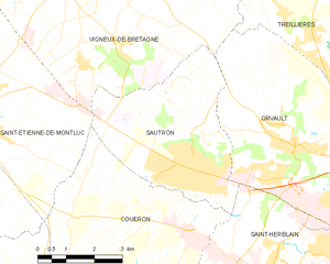
Sautron
- commune in Loire-Atlantique, France
- Country:

- Postal Code: 44880
- Coordinates: 47° 15' 49" N, 1° 40' 6" E


- GPS tracks (wikiloc): [Link]
- Area: 17.28 sq km
- Population: 7639
- Web site: [Link]


Chéméré
- former commune in Loire-Atlantique, France
- Country:

- Postal Code: 44680
- Coordinates: 47° 7' 19" N, 1° 54' 53" E


- GPS tracks (wikiloc): [Link]
- Area: 37.31 sq km
- Population: 2545
- Web site: [Link]


Monnières
- commune in Loire-Atlantique, France
- Country:

- Postal Code: 44690
- Coordinates: 47° 7' 54" N, 1° 21' 21" E


- GPS tracks (wikiloc): [Link]
- Area: 9.78 sq km
- Population: 2125
- Web site: [Link]

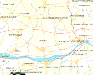
Varades
- former commune in Loire-Atlantique, France
- Country:

- Postal Code: 44370
- Coordinates: 47° 23' 4" N, 1° 1' 48" E


- GPS tracks (wikiloc): [Link]
- Area: 45.82 sq km
- Population: 3694
- Web site: [Link]
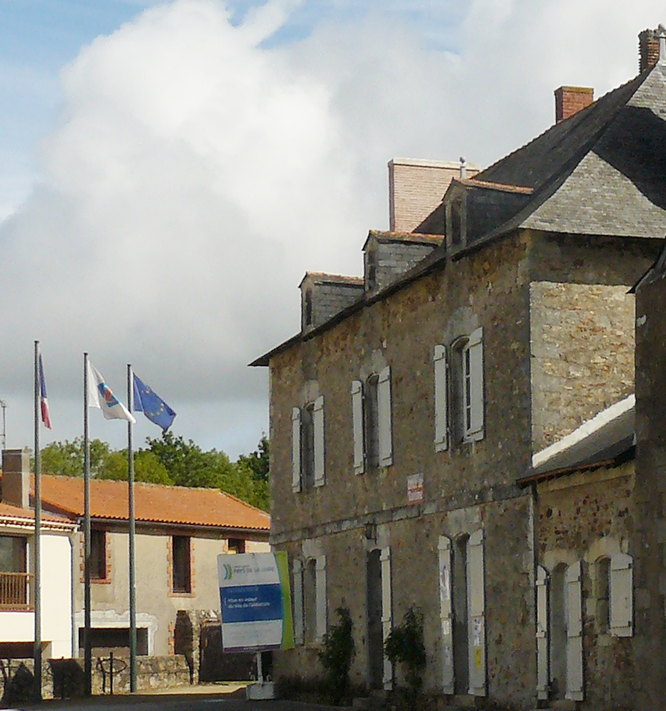

Saint-Philbert-de-Grand-Lieu
- commune in Loire-Atlantique, France
- Country:

- Postal Code: 44310
- Coordinates: 47° 2' 6" N, 1° 38' 24" E


- GPS tracks (wikiloc): [Link]
- Area: 58.81 sq km
- Population: 8767
- Web site: [Link]


Saint-Nicolas-de-Redon
- commune in Loire-Atlantique, France
- Country:

- Postal Code: 44460
- Coordinates: 47° 38' 39" N, 2° 3' 58" E


- GPS tracks (wikiloc): [Link]
- Area: 22.32 sq km
- Population: 3157
- Web site: [Link]

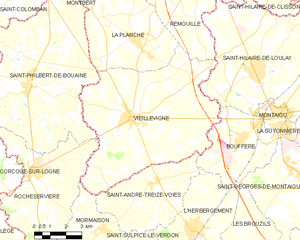
Vieillevigne
- commune in Loire-Atlantique, France
- Country:

- Postal Code: 44116
- Coordinates: 46° 58' 16" N, 1° 26' 0" E


- GPS tracks (wikiloc): [Link]
- Area: 51.76 sq km
- Population: 3964
- Web site: [Link]


Maumusson
- commune in Loire-Atlantique, France
- Country:

- Postal Code: 44540
- Coordinates: 47° 28' 58" N, 1° 6' 20" E


- GPS tracks (wikiloc): [Link]
- Area: 24.56 sq km
- Population: 1046
- Web site: [Link]
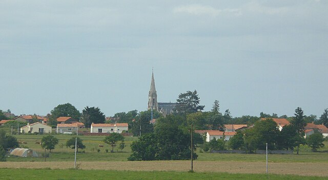
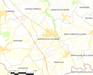
Aigrefeuille-sur-Maine
- commune in Loire-Atlantique, France
- Country:

- Postal Code: 44140
- Coordinates: 47° 4' 36" N, 1° 24' 2" E


- GPS tracks (wikiloc): [Link]
- Area: 14.58 sq km
- Population: 3700
- Web site: [Link]
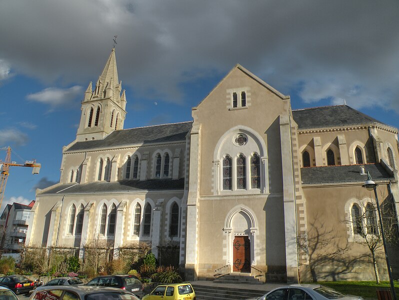
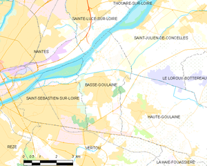
Basse-Goulaine
- commune in Loire-Atlantique, France
- Country:

- Postal Code: 44115
- Coordinates: 47° 12' 42" N, 1° 28' 3" E


- GPS tracks (wikiloc): [Link]
- Area: 13.74 sq km
- Population: 8698
- Web site: [Link]


La Chapelle-Saint-Sauveur
- former commune in Loire-Atlantique, France
- Country:

- Postal Code: 44370
- Coordinates: 47° 26' 28" N, 0° 59' 11" E


- GPS tracks (wikiloc): [Link]
- Area: 18.7 sq km
- Population: 805
- Web site: [Link]

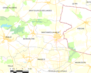
Bonnœuvre
- commune in Loire-Atlantique, France
- Country:

- Postal Code: 44540
- Coordinates: 47° 31' 39" N, 1° 14' 10" E


- GPS tracks (wikiloc): [Link]
- Area: 15.66 sq km
- Population: 560
- Web site: [Link]


Vay
- commune in Loire-Atlantique, France
- Country:

- Postal Code: 44170
- Coordinates: 47° 33' 17" N, 1° 42' 4" E


- GPS tracks (wikiloc): [Link]
- Area: 36.13 sq km
- Population: 2071
- Web site: [Link]

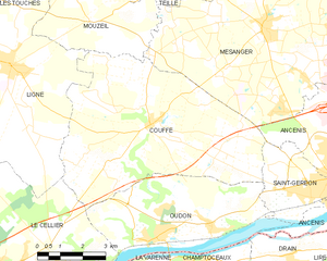
Couffé
- commune in Loire-Atlantique, France
- Country:

- Postal Code: 44521
- Coordinates: 47° 23' 29" N, 1° 17' 34" E


- GPS tracks (wikiloc): [Link]
- Area: 39.97 sq km
- Population: 2518
- Web site: [Link]


Préfailles
- commune in Loire-Atlantique, France
- Country:

- Postal Code: 44770
- Coordinates: 47° 7' 42" N, 2° 13' 1" E


- GPS tracks (wikiloc): [Link]
- Area: 4.88 sq km
- Population: 1213
- Web site: [Link]


Soudan
- commune in Loire-Atlantique, France
- Country:

- Postal Code: 44110
- Coordinates: 47° 44' 15" N, 1° 18' 17" E


- GPS tracks (wikiloc): [Link]
- Area: 53.82 sq km
- Population: 1998
- Web site: [Link]

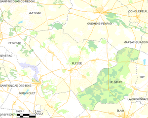
Plessé
- commune in Loire-Atlantique, France
- Country:

- Postal Code: 44630
- Coordinates: 47° 32' 30" N, 1° 53' 13" E


- GPS tracks (wikiloc): [Link]
- Area: 104.38 sq km
- Population: 5193
- Web site: [Link]


Le Pouliguen
- commune in Loire-Atlantique, France
- Country:

- Postal Code: 44510
- Coordinates: 47° 16' 37" N, 2° 25' 49" E


- GPS tracks (wikiloc): [Link]
- Area: 4.39 sq km
- Population: 4455
- Web site: [Link]


Mésanger
- commune in Loire-Atlantique, France
- Country:

- Postal Code: 44522
- Coordinates: 47° 25' 59" N, 1° 13' 53" E


- GPS tracks (wikiloc): [Link]
- Area: 49.75 sq km
- Population: 4665
- Web site: [Link]


Sainte-Pazanne
- commune in Loire-Atlantique, France
- Country:

- Postal Code: 44680
- Coordinates: 47° 6' 11" N, 1° 48' 39" E


- GPS tracks (wikiloc): [Link]
- Area: 41.56 sq km
- Population: 6547
- Web site: [Link]

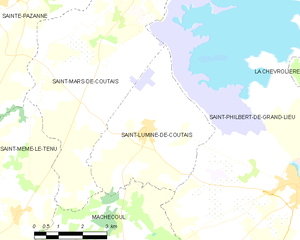
Saint-Lumine-de-Coutais
- commune in Loire-Atlantique, France
- Country:

- Postal Code: 44310
- Coordinates: 47° 3' 16" N, 1° 43' 35" E


- GPS tracks (wikiloc): [Link]
- Area: 17.64 sq km
- Population: 2114
- Web site: [Link]


Saint-Michel-Chef-Chef
- commune in Loire-Atlantique, France
- Country:

- Postal Code: 44730
- Coordinates: 47° 10' 51" N, 2° 8' 55" E


- GPS tracks (wikiloc): [Link]
- Area: 25.12 sq km
- Population: 4642
- Web site: [Link]


La Regrippière
- commune in Loire-Atlantique, France
- Country:

- Postal Code: 44330
- Coordinates: 47° 10' 54" N, 1° 10' 34" E


- GPS tracks (wikiloc): [Link]
- Area: 18.17 sq km
- Population: 1532
- Web site: [Link]

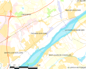
Thouaré-sur-Loire
- commune in Loire-Atlantique, France
- Country:

- Postal Code: 44470
- Coordinates: 47° 16' 3" N, 1° 26' 26" E


- GPS tracks (wikiloc): [Link]
- Area: 12.76 sq km
- Population: 9468
- Web site: [Link]


Les Sorinières
- commune in Loire-Atlantique, France
- Country:

- Postal Code: 44840
- Coordinates: 47° 8' 47" N, 1° 31' 48" E


- GPS tracks (wikiloc): [Link]
- Area: 13.02 sq km
- Population: 8063
- Web site: [Link]

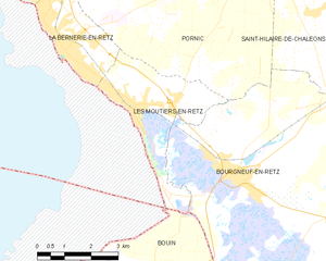
Les Moutiers-en-Retz
- commune in Loire-Atlantique, France
- Country:

- Postal Code: 44760
- Coordinates: 47° 3' 48" N, 2° 0' 6" E


- GPS tracks (wikiloc): [Link]
- Area: 9.58 sq km
- Population: 1576
- Web site: [Link]


Les Touches
- commune in Loire-Atlantique, France
- Country:

- Postal Code: 44390
- Coordinates: 47° 26' 31" N, 1° 25' 50" E


- GPS tracks (wikiloc): [Link]
- Area: 35.15 sq km
- Population: 2463
- Web site: [Link]


Lusanger
- commune in Loire-Atlantique, France
- Country:

- Postal Code: 44590
- Coordinates: 47° 40' 51" N, 1° 35' 18" E


- GPS tracks (wikiloc): [Link]
- Area: 35.38 sq km
- Population: 1027
- Web site: [Link]
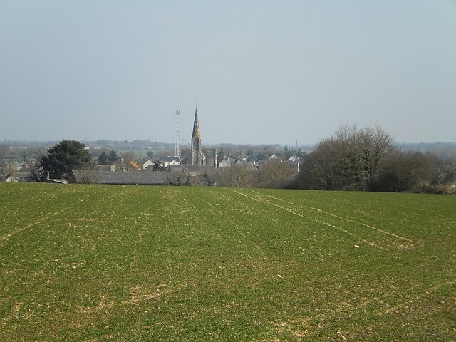

Pierric
- commune in Loire-Atlantique, France
- Country:

- Postal Code: 44290
- Coordinates: 47° 41' 12" N, 1° 44' 9" E


- GPS tracks (wikiloc): [Link]
- Area: 27.3 sq km
- Population: 981
- Web site: [Link]


Paulx
- commune in Loire-Atlantique, France
- Country:

- Postal Code: 44270
- Coordinates: 46° 57' 46" N, 1° 45' 17" E


- GPS tracks (wikiloc): [Link]
- Area: 35.92 sq km
- Population: 1972
- Web site: [Link]
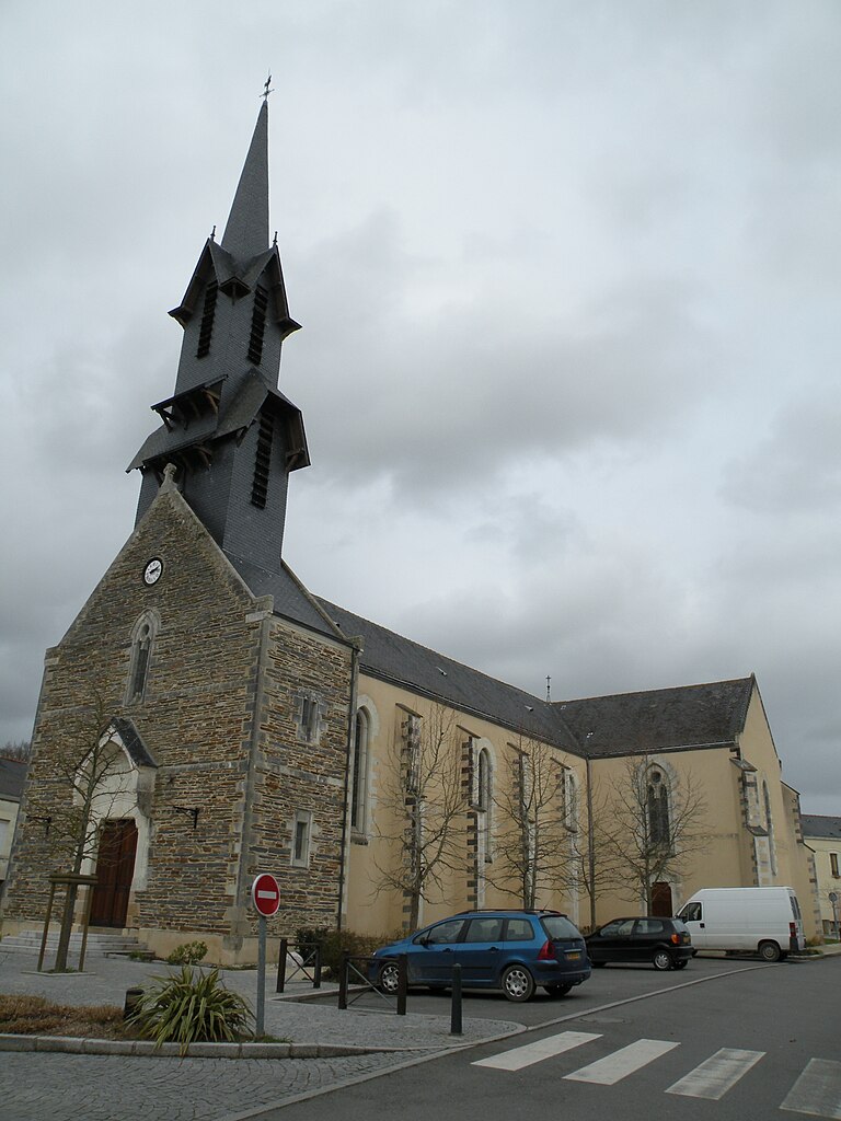

La Chevallerais
- commune in Loire-Atlantique, France
- Country:

- Postal Code: 44810
- Coordinates: 47° 28' 3" N, 1° 40' 17" E


- GPS tracks (wikiloc): [Link]
- Area: 10.23 sq km
- Population: 1563
- Web site: [Link]


Paimbœuf
- commune in Loire-Atlantique, France
- Country:

- Postal Code: 44560
- Coordinates: 47° 17' 15" N, 2° 1' 54" E


- GPS tracks (wikiloc): [Link]
- Area: 2 sq km
- Population: 3197
- Web site: [Link]


Fégréac
- commune in Loire-Atlantique, France
- Country:

- Postal Code: 44460
- Coordinates: 47° 35' 5" N, 2° 2' 40" E


- GPS tracks (wikiloc): [Link]
- Area: 44.18 sq km
- Population: 2440
- Web site: [Link]

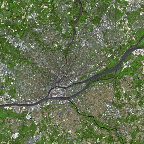
Nantes
- city in Loire-Atlantique, France
- Country:

- Postal Code: 44300; 44200; 44100; 44000
- Coordinates: 47° 13' 2" N, 1° 33' 14" E


- GPS tracks (wikiloc): [Link]
- AboveSeaLevel: 52 м m
- Area: 65.19 sq km
- Population: 303382
- Web site: [Link]


La Grigonnais
- commune in Loire-Atlantique, France
- Country:

- Postal Code: 44170
- Coordinates: 47° 31' 36" N, 1° 40' 3" E


- GPS tracks (wikiloc): [Link]
- Area: 21.22 sq km
- Population: 1651
- Web site: [Link]


Issé
- commune in Loire-Atlantique, France
- Country:

- Postal Code: 44520
- Coordinates: 47° 37' 26" N, 1° 27' 4" E


- GPS tracks (wikiloc): [Link]
- Area: 38.66 sq km
- Population: 1872
- Web site: [Link]


Villepot
- commune in Loire-Atlantique, France
- Country:

- Postal Code: 44110
- Coordinates: 47° 46' 31" N, 1° 16' 39" E


- GPS tracks (wikiloc): [Link]
- Area: 20.59 sq km
- Population: 668
- Web site: [Link]


Saint-Aubin-des-Châteaux
- commune in Loire-Atlantique, France
- Country:

- Postal Code: 44110
- Coordinates: 47° 43' 12" N, 1° 29' 11" E


- GPS tracks (wikiloc): [Link]
- Area: 47.56 sq km
- Population: 1765
- Web site: [Link]


Blain
- commune in Loire-Atlantique, France
- Country:

- Postal Code: 44130
- Coordinates: 47° 28' 34" N, 1° 45' 49" E


- GPS tracks (wikiloc): [Link]
- Area: 101.72 sq km
- Population: 9638
- Web site: [Link]


Mouais
- commune in Loire-Atlantique, France
- Country:

- Postal Code: 44590
- Coordinates: 47° 41' 44" N, 1° 38' 40" E


- GPS tracks (wikiloc): [Link]
- Area: 9.93 sq km
- Population: 384
- Web site: [Link]


Saint-Joachim
- commune in Loire-Atlantique, France
- Country:

- Postal Code: 44720
- Coordinates: 47° 22' 56" N, 2° 12' 3" E


- GPS tracks (wikiloc): [Link]
- Area: 86.22 sq km
- Population: 3934
- Web site: [Link]


La Haie-Fouassière
- commune in Loire-Atlantique, France
- Country:

- Postal Code: 44690
- Coordinates: 47° 9' 20" N, 1° 23' 57" E


- GPS tracks (wikiloc): [Link]
- Area: 11.81 sq km
- Population: 4563
- Web site: [Link]


Saint-Nazaire
- commune in Loire-Atlantique, France
- Country:

- Postal Code: 44600
- Coordinates: 47° 16' 46" N, 2° 12' 36" E


- GPS tracks (wikiloc): [Link]
- Area: 46.79 sq km
- Population: 69784
- Web site: [Link]


arrondissement of Saint-Nazaire
- arrondissement of France
- Country:

- Capital: Saint-Nazaire
- Coordinates: 47° 20' 0" N, 2° 10' 0" E


- GPS tracks (wikiloc): [Link]
- Area: 1758 sq km
- Population: 325683
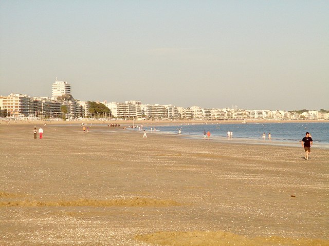

La Baule-Escoublac
- commune in Loire-Atlantique, France
- Country:

- Postal Code: 44500
- Coordinates: 47° 17' 9" N, 2° 23' 32" E


- GPS tracks (wikiloc): [Link]
- AboveSeaLevel: 1 м m
- Area: 22.19 sq km
- Population: 15611
- Web site: [Link]


Ancenis
- commune in Loire-Atlantique, France
- Country:

- Postal Code: 44150
- Coordinates: 47° 22' 22" N, 1° 10' 42" E


- GPS tracks (wikiloc): [Link]
- Area: 20.07 sq km
- Population: 7510
- Web site: [Link]


Treillières
- commune in Loire-Atlantique, France
- Country:

- Postal Code: 44119
- Coordinates: 47° 19' 51" N, 1° 37' 36" E


- GPS tracks (wikiloc): [Link]
- Area: 29.05 sq km
- Population: 8734
- Web site: [Link]
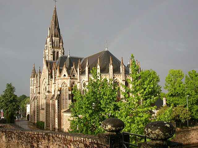

Orvault
- commune in Loire-Atlantique, France
- Country:

- Postal Code: 44700
- Coordinates: 47° 16' 15" N, 1° 37' 19" E


- GPS tracks (wikiloc): [Link]
- Area: 27.67 sq km
- Population: 25634
- Web site: [Link]


Saint-Herblain
- commune in Loire-Atlantique, France
- Country:

- Postal Code: 44800
- Coordinates: 47° 13' 4" N, 1° 38' 54" E


- GPS tracks (wikiloc): [Link]
- Area: 30.02 sq km
- Population: 45786
- Web site: [Link]


Bouguenais
- commune in Loire-Atlantique, France
- Country:

- Postal Code: 44340
- Coordinates: 47° 10' 45" N, 1° 37' 29" E


- GPS tracks (wikiloc): [Link]
- Area: 31.5 sq km
- Population: 18815
- Web site: [Link]

Joué-sur-Erdre
- commune in Loire-Atlantique, France
- Country:

- Postal Code: 44440
- Coordinates: 47° 29' 44" N, 1° 25' 13" E


- GPS tracks (wikiloc): [Link]
- Area: 54.53 sq km
- Population: 2399
- Web site: [Link]


Rezé
- commune in Loire-Atlantique, France
- Country:

- Postal Code: 44400
- Coordinates: 47° 11' 26" N, 1° 34' 9" E


- GPS tracks (wikiloc): [Link]
- Area: 13.78 sq km
- Population: 39649
- Web site: [Link]


Vertou
- commune in Loire-Atlantique, France
- Country:

- Postal Code: 44120
- Coordinates: 47° 10' 5" N, 1° 28' 17" E


- GPS tracks (wikiloc): [Link]
- Area: 35.68 sq km
- Population: 23124
- Web site: [Link]


Saint-Sébastien-sur-Loire
- commune in Loire-Atlantique, France
- Country:

- Postal Code: 44230
- Coordinates: 47° 12' 26" N, 1° 30' 9" E


- GPS tracks (wikiloc): [Link]
- Area: 11.66 sq km
- Population: 26371
- Web site: [Link]
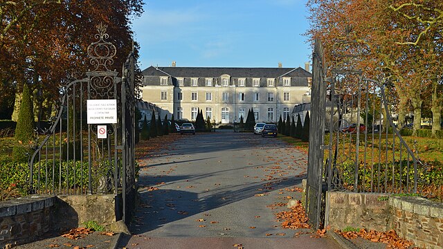
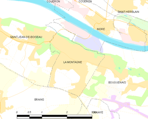
La Montagne
- commune in Loire-Atlantique, France
- Country:

- Postal Code: 44620
- Coordinates: 47° 11' 24" N, 1° 41' 2" E


- GPS tracks (wikiloc): [Link]
- Area: 3.64 sq km
- Population: 6135
- Web site: [Link]

Clisson
- commune in Loire-Atlantique, France
- Country:

- Postal Code: 44190
- Coordinates: 47° 5' 13" N, 1° 17' 1" E


- GPS tracks (wikiloc): [Link]
- Area: 11.3 sq km
- Population: 6883
- Web site: [Link]

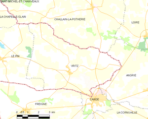
Vritz
- commune in Loire-Atlantique, France
- Country:

- Postal Code: 44540
- Coordinates: 47° 34' 54" N, 1° 4' 11" E


- GPS tracks (wikiloc): [Link]
- Area: 32.89 sq km
- Population: 804
- Web site: [Link]


La Roche-Blanche
- commune in Loire-Atlantique, France
- Country:

- Postal Code: 44522
- Coordinates: 47° 26' 27" N, 1° 8' 26" E


- GPS tracks (wikiloc): [Link]
- Area: 14.82 sq km
- Population: 1180
- Web site: [Link]
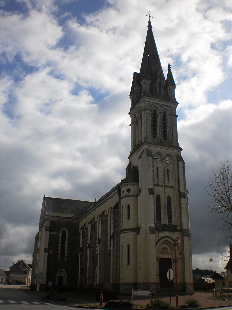
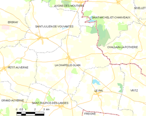
La Chapelle-Glain
- commune in Loire-Atlantique, France
- Country:

- Postal Code: 44670
- Coordinates: 47° 37' 23" N, 1° 11' 49" E


- GPS tracks (wikiloc): [Link]
- Area: 34.5 sq km
- Population: 819
- Web site: [Link]


Indre
- commune in Loire-Atlantique, France
- Country:

- Postal Code: 44620; 44610
- Coordinates: 47° 11' 55" N, 1° 40' 16" E


- GPS tracks (wikiloc): [Link]
- AboveSeaLevel: 8 м m
- Area: 4.72 sq km
- Population: 3935
- Web site: [Link]

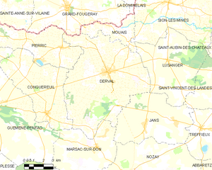
Derval
- commune in Loire-Atlantique, France
- Country:

- Postal Code: 44590
- Coordinates: 47° 40' 3" N, 1° 40' 17" E


- GPS tracks (wikiloc): [Link]
- Area: 63.51 sq km
- Population: 3487
- Web site: [Link]

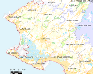
Guérande
- commune in Loire-Atlantique, Brittany, France
- Country:

- Postal Code: 44350
- Coordinates: 47° 19' 41" N, 2° 25' 45" E


- GPS tracks (wikiloc): [Link]
- Area: 81.44 sq km
- Population: 16294
- Web site: [Link]

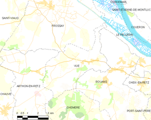
Vue
- commune in Loire-Atlantique, France
- Country:

- Postal Code: 44640
- Coordinates: 47° 11' 55" N, 1° 52' 52" E


- GPS tracks (wikiloc): [Link]
- AboveSeaLevel: 14 м m
- Area: 19.51 sq km
- Population: 1608
- Web site: [Link]

Treffieux
- commune in Loire-Atlantique, France
- Country:

- Postal Code: 44170
- Coordinates: 47° 37' 11" N, 1° 32' 15" E


- GPS tracks (wikiloc): [Link]
- Area: 19.12 sq km
- Population: 841
- Web site: [Link]


La Remaudière
- commune in Loire-Atlantique, France
- Country:

- Postal Code: 44430
- Coordinates: 47° 14' 15" N, 1° 14' 36" E


- GPS tracks (wikiloc): [Link]
- Area: 12.98 sq km
- Population: 1276
- Web site: [Link]
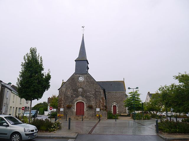

Mouzeil
- commune in Loire-Atlantique, France
- Country:

- Postal Code: 44850
- Coordinates: 47° 26' 53" N, 1° 20' 53" E


- GPS tracks (wikiloc): [Link]
- Area: 18.87 sq km
- Population: 1887
- Web site: [Link]


La Chapelle-Launay
- commune in Loire-Atlantique, France
- Country:

- Postal Code: 44260
- Coordinates: 47° 22' 21" N, 1° 58' 19" E


- GPS tracks (wikiloc): [Link]
- Area: 24.82 sq km
- Population: 2913


Pouillé-les-Côteaux
- commune in Loire-Atlantique, France
- Country:

- Postal Code: 44522
- Coordinates: 47° 27' 19" N, 1° 9' 44" E


- GPS tracks (wikiloc): [Link]
- Area: 11.72 sq km
- Population: 1000
- Web site: [Link]


La Limouzinière
- commune in Loire-Atlantique, France
- Country:

- Postal Code: 44310
- Coordinates: 46° 59' 35" N, 1° 35' 47" E


- GPS tracks (wikiloc): [Link]
- Area: 29.54 sq km
- Population: 2387
- Web site: [Link]
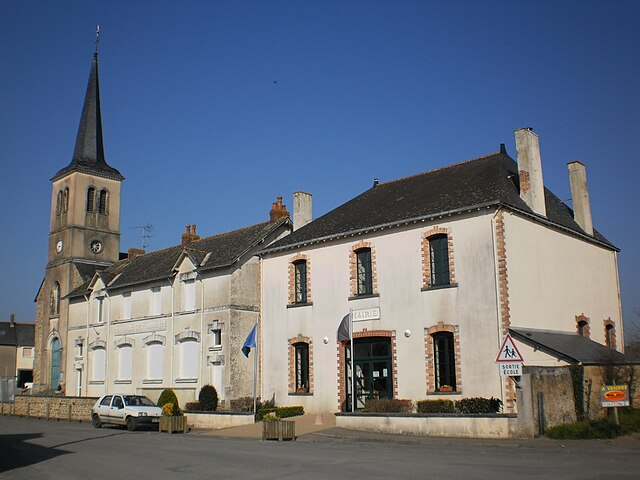

Soulvache
- commune in Loire-Atlantique, France
- Country:

- Postal Code: 44660
- Coordinates: 47° 49' 45" N, 1° 28' 24" E


- GPS tracks (wikiloc): [Link]
- Area: 11.27 sq km
- Population: 356
- Web site: [Link]


Carquefou
- commune in Loire-Atlantique, France
- Country:

- Postal Code: 44470
- Coordinates: 47° 17' 49" N, 1° 29' 34" E


- GPS tracks (wikiloc): [Link]
- Area: 43.42 sq km
- Population: 19411
- Web site: [Link]

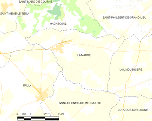
La Marne
- commune in Loire-Atlantique, France
- Country:

- Postal Code: 44270
- Coordinates: 46° 59' 44" N, 1° 44' 28" E


- GPS tracks (wikiloc): [Link]
- Area: 17.8 sq km
- Population: 1442
- Web site: [Link]


Noyal-sur-Brutz
- commune in Loire-Atlantique, France
- Country:

- Postal Code: 44110
- Coordinates: 47° 46' 34" N, 1° 20' 49" E


- GPS tracks (wikiloc): [Link]
- Area: 7.71 sq km
- Population: 589
- Web site: [Link]


Casson
- commune in Loire-Atlantique, France
- Country:

- Postal Code: 44390
- Coordinates: 47° 23' 9" N, 1° 33' 34" E


- GPS tracks (wikiloc): [Link]
- Area: 16.15 sq km
- Population: 2183
- Web site: [Link]


Pannecé
- commune in Loire-Atlantique, France
- Country:

- Postal Code: 44440
- Coordinates: 47° 29' 10" N, 1° 14' 22" E


- GPS tracks (wikiloc): [Link]
- Area: 30.59 sq km
- Population: 1340
- Web site: [Link]


Mesquer
- commune in Loire-Atlantique, France
- Country:

- Postal Code: 44420
- Coordinates: 47° 23' 58" N, 2° 27' 36" E


- GPS tracks (wikiloc): [Link]
- Area: 16.72 sq km
- Population: 1938
- Web site: [Link]


Moisdon-la-Rivière
- commune in Loire-Atlantique, France
- Country:

- Postal Code: 44520
- Coordinates: 47° 37' 17" N, 1° 22' 20" E


- GPS tracks (wikiloc): [Link]
- Area: 50.43 sq km
- Population: 1955
- Web site: [Link]


Remouillé
- commune in Loire-Atlantique, France
- Country:

- Postal Code: 44140
- Coordinates: 47° 3' 20" N, 1° 22' 37" E


- GPS tracks (wikiloc): [Link]
- Area: 21.38 sq km
- Population: 1862
- Web site: [Link]


Crossac
- commune in Loire-Atlantique, France
- Country:

- Postal Code: 44160
- Coordinates: 47° 24' 41" N, 2° 10' 6" E


- GPS tracks (wikiloc): [Link]
- Area: 25.85 sq km
- Population: 2899
- Web site: [Link]


Riaillé
- commune in Loire-Atlantique, France
- Country:

- Postal Code: 44440
- Coordinates: 47° 31' 5" N, 1° 17' 39" E


- GPS tracks (wikiloc): [Link]
- Area: 50.02 sq km
- Population: 2288
- Web site: [Link]


arrondissement of Nantes
- arrondissement of France
- Country:

- Capital: Nantes
- Coordinates: 47° 10' 0" N, 1° 35' 0" E


- GPS tracks (wikiloc): [Link]
- Area: 2118 sq km
- Population: 819808


Le Pallet
- commune in Loire-Atlantique, France
- Country:

- Postal Code: 44330
- Coordinates: 47° 8' 18" N, 1° 20' 9" E


- GPS tracks (wikiloc): [Link]
- Area: 11.75 sq km
- Population: 3234
- Web site: [Link]


Le Pellerin
- commune in Loire-Atlantique, France
- Country:

- Postal Code: 44640
- Coordinates: 47° 11' 54" N, 1° 45' 14" E


- GPS tracks (wikiloc): [Link]
- Area: 30.65 sq km
- Population: 4964
- Web site: [Link]


Trans-sur-Erdre
- commune in Loire-Atlantique, France
- Country:

- Postal Code: 44440
- Coordinates: 47° 28' 35" N, 1° 22' 25" E


- GPS tracks (wikiloc): [Link]
- Area: 22.56 sq km
- Population: 1046
- Web site: [Link]


La Turballe
- commune in Loire-Atlantique, France
- Country:

- Postal Code: 44420
- Coordinates: 47° 20' 44" N, 2° 30' 24" E


- GPS tracks (wikiloc): [Link]
- Area: 18.53 sq km
- Population: 4460
- Web site: [Link]


Le Gâvre
- commune in Loire-Atlantique, France
- Country:

- Postal Code: 44130
- Coordinates: 47° 31' 14" N, 1° 44' 55" E


- GPS tracks (wikiloc): [Link]
- Area: 53.58 sq km
- Population: 1760


La Rouxière
- former commune in Loire-Atlantique, France
- Country:

- Postal Code: 44370
- Coordinates: 47° 26' 34" N, 1° 4' 4" E


- GPS tracks (wikiloc): [Link]
- Area: 20.96 sq km
- Population: 1130
- Web site: [Link]

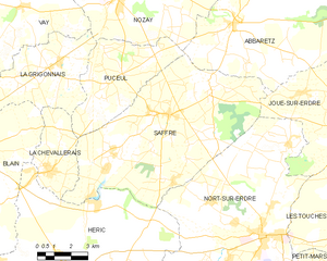
Saffré
- commune in Loire-Atlantique, France
- Country:

- Postal Code: 44390
- Coordinates: 47° 30' 6" N, 1° 34' 43" E


- GPS tracks (wikiloc): [Link]
- Area: 57.46 sq km
- Population: 3814
- Web site: [Link]


Montrelais
- commune in Loire-Atlantique, France
- Country:

- Postal Code: 44370
- Coordinates: 47° 23' 20" N, 0° 57' 59" E


- GPS tracks (wikiloc): [Link]
- Area: 13.73 sq km
- Population: 867

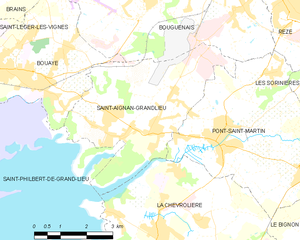
Saint-Aignan-Grandlieu
- commune in Loire-Atlantique, France
- Country:

- Postal Code: 44860
- Coordinates: 47° 7' 26" N, 1° 37' 50" E


- GPS tracks (wikiloc): [Link]
- Area: 17.94 sq km
- Population: 3879
- Web site: [Link]


Machecoul
- former commune in Loire-Atlantique, France
- Country:

- Postal Code: 44270
- Coordinates: 46° 59' 35" N, 1° 49' 22" E


- GPS tracks (wikiloc): [Link]
- Area: 66.62 sq km
- Population: 6131
- Web site: [Link]


Couëron
- commune in Loire-Atlantique, France
- Country:

- Postal Code: 44220
- Coordinates: 47° 12' 53" N, 1° 43' 26" E


- GPS tracks (wikiloc): [Link]
- Area: 44.03 sq km
- Population: 20573
- Web site: [Link]


Ligné
- commune in Loire-Atlantique, France
- Country:

- Postal Code: 44850
- Coordinates: 47° 24' 42" N, 1° 22' 38" E


- GPS tracks (wikiloc): [Link]
- Area: 45.41 sq km
- Population: 5088
- Web site: [Link]

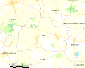
Jans
- commune in Loire-Atlantique, France
- Country:

- Postal Code: 44170
- Coordinates: 47° 37' 16" N, 1° 36' 50" E


- GPS tracks (wikiloc): [Link]
- Area: 33.21 sq km
- Population: 1314
- Web site: [Link]
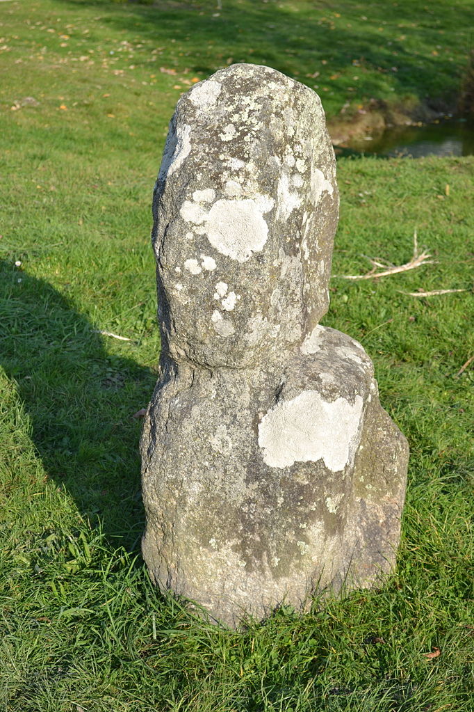
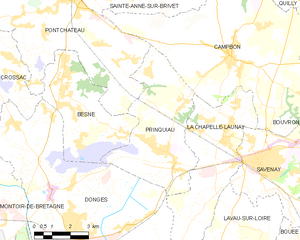
Prinquiau
- commune in Loire-Atlantique, France
- Country:

- Postal Code: 44260
- Coordinates: 47° 21' 44" N, 2° 0' 34" E


- GPS tracks (wikiloc): [Link]
- Area: 22.82 sq km
- Population: 3499


Guenrouet
- commune in Loire-Atlantique, France
- Country:

- Postal Code: 44530
- Coordinates: 47° 31' 9" N, 1° 57' 19" E


- GPS tracks (wikiloc): [Link]
- Area: 69.9 sq km
- Population: 3322
- Web site: [Link]

Anetz
- former commune in Loire-Atlantique, France
- Country:

- Postal Code: 44150
- Coordinates: 47° 22' 56" N, 1° 6' 10" E


- GPS tracks (wikiloc): [Link]
- Area: 14.83 sq km
- Population: 2091
- Web site: [Link]
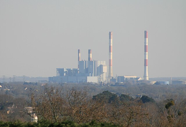

Cordemais
- commune in Loire-Atlantique, France
- Country:

- Postal Code: 44360
- Coordinates: 47° 17' 25" N, 1° 52' 44" E


- GPS tracks (wikiloc): [Link]
- Area: 37.2 sq km
- Population: 3671
- Web site: [Link]


Cheix-en-Retz
- commune in Loire-Atlantique, France
- Country:

- Postal Code: 44640
- Coordinates: 47° 10' 54" N, 1° 48' 56" E


- GPS tracks (wikiloc): [Link]
- Area: 8.34 sq km
- Population: 1027
- Web site: [Link]


Saint-Même-le-Tenu
- former commune in Loire-Atlantique, France
- Country:

- Postal Code: 44270
- Coordinates: 47° 1' 12" N, 1° 47' 41" E


- GPS tracks (wikiloc): [Link]
- Area: 18.27 sq km
- Population: 1210
- Web site: [Link]


Piriac-sur-Mer
- commune in Loire-Atlantique, France
- Country:

- Postal Code: 44420
- Coordinates: 47° 22' 48" N, 2° 32' 46" E


- GPS tracks (wikiloc): [Link]
- Area: 12.37 sq km
- Population: 2231
- Web site: [Link]


La Chevrolière
- commune in Loire-Atlantique, France
- Country:

- Postal Code: 44118
- Coordinates: 47° 5' 27" N, 1° 36' 43" E


- GPS tracks (wikiloc): [Link]
- Area: 32.56 sq km
- Population: 5391
- Web site: [Link]


Port-Saint-Père
- commune in Loire-Atlantique, France
- Country:

- Postal Code: 44710
- Coordinates: 47° 7' 59" N, 1° 44' 54" E


- GPS tracks (wikiloc): [Link]
- Area: 32.57 sq km
- Population: 2894
- Web site: [Link]


Rouans
- commune in Loire-Atlantique, France
- Country:

- Postal Code: 44640
- Coordinates: 47° 11' 7" N, 1° 51' 35" E


- GPS tracks (wikiloc): [Link]
- Area: 37.73 sq km
- Population: 2860
- Web site: [Link]


Héric
- commune in Loire-Atlantique, France
- Country:

- Postal Code: 44810
- Coordinates: 47° 24' 45" N, 1° 39' 6" E


- GPS tracks (wikiloc): [Link]
- Area: 73.93 sq km
- Population: 5876
- Web site: [Link]


Pornichet
- commune in Loire-Atlantique, France
- Country:

- Postal Code: 44380
- Coordinates: 47° 15' 57" N, 2° 20' 24" E


- GPS tracks (wikiloc): [Link]
- Area: 12.67 sq km
- Population: 10416
- Web site: [Link]


Sainte-Luce-sur-Loire
- commune in Loire-Atlantique, France
- Country:

- Postal Code: 44980
- Coordinates: 47° 14' 58" N, 1° 29' 12" E


- GPS tracks (wikiloc): [Link]
- Area: 11.45 sq km
- Population: 15172
- Web site: [Link]


Missillac
- commune in Loire-Atlantique, France
- Country:

- Postal Code: 44780
- Coordinates: 47° 28' 56" N, 2° 9' 32" E


- GPS tracks (wikiloc): [Link]
- Area: 59.55 sq km
- Population: 5199
- Web site: [Link]

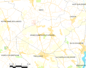
Grandchamps-des-Fontaines
- commune in Loire-Atlantique, France
- Country:

- Postal Code: 44119
- Coordinates: 47° 21' 54" N, 1° 36' 19" E


- GPS tracks (wikiloc): [Link]
- AboveSeaLevel: 35 м m
- Area: 33.87 sq km
- Population: 5665
- Web site: [Link]


Campbon
- commune in Loire-Atlantique, France
- Country:

- Postal Code: 44750
- Coordinates: 47° 24' 43" N, 1° 58' 7" E


- GPS tracks (wikiloc): [Link]
- Area: 49.82 sq km
- Population: 3974
- Web site: [Link]
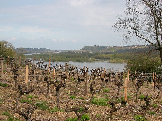

Le Cellier
- commune in Loire-Atlantique, France
- Country:

- Postal Code: 44850
- Coordinates: 47° 19' 10" N, 1° 20' 47" E


- GPS tracks (wikiloc): [Link]
- Area: 35.99 sq km
- Population: 3666
- Web site: [Link]
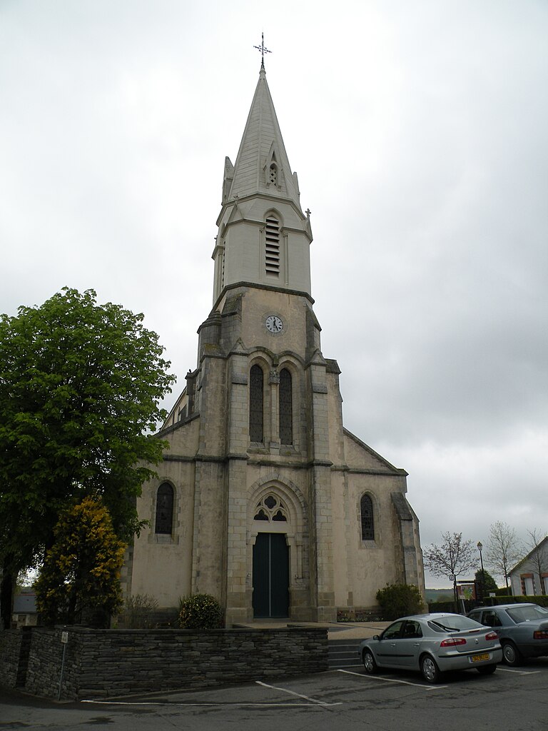

Marsac-sur-Don
- commune in Loire-Atlantique, France
- Country:

- Postal Code: 44170
- Coordinates: 47° 35' 44" N, 1° 40' 49" E


- GPS tracks (wikiloc): [Link]
- Area: 27.68 sq km
- Population: 1496
- Web site: [Link]


Saint-Molf
- commune in Loire-Atlantique, France
- Country:

- Postal Code: 44350
- Coordinates: 47° 23' 29" N, 2° 25' 30" E


- GPS tracks (wikiloc): [Link]
- Area: 22.82 sq km
- Population: 2499
- Web site: [Link]


La Meilleraye-de-Bretagne
- commune in Loire-Atlantique, France
- Country:

- Postal Code: 44520
- Coordinates: 47° 33' 35" N, 1° 24' 5" E


- GPS tracks (wikiloc): [Link]
- Area: 27.63 sq km
- Population: 1498
- Web site: [Link]
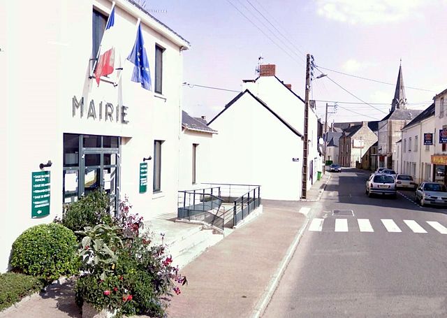
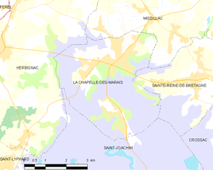
La Chapelle-des-Marais
- commune in Loire-Atlantique, France
- Country:

- Postal Code: 44410
- Coordinates: 47° 26' 50" N, 2° 14' 30" E


- GPS tracks (wikiloc): [Link]
- Area: 18.05 sq km
- Population: 4069
- Web site: [Link]


La Plaine-sur-Mer
- commune in Loire-Atlantique, France
- Country:

- Postal Code: 44770
- Coordinates: 47° 8' 15" N, 2° 11' 23" E


- GPS tracks (wikiloc): [Link]
- Area: 16.39 sq km
- Population: 4058
- Web site: [Link]


Le Pin
- commune in Loire-Atlantique, France
- Country:

- Postal Code: 44540
- Coordinates: 47° 35' 21" N, 1° 9' 13" E


- GPS tracks (wikiloc): [Link]
- Area: 24.95 sq km
- Population: 785
- Web site: [Link]

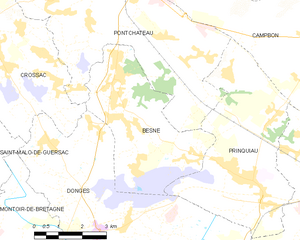
Besné
- commune in Loire-Atlantique, France
- Country:

- Postal Code: 44160
- Coordinates: 47° 23' 51" N, 2° 5' 29" E


- GPS tracks (wikiloc): [Link]
- Area: 17.54 sq km
- Population: 2958
- Web site: [Link]
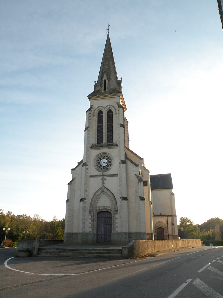
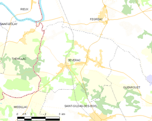
Sévérac
- commune in Loire-Atlantique, France
- Country:

- Postal Code: 44530
- Coordinates: 47° 33' 0" N, 2° 4' 36" E


- GPS tracks (wikiloc): [Link]
- Area: 22.41 sq km
- Population: 1632
- Web site: [Link]


Juigné-des-Moutiers
- commune in Loire-Atlantique, France
- Country:

- Postal Code: 44670
- Coordinates: 47° 40' 44" N, 1° 11' 7" E


- GPS tracks (wikiloc): [Link]
- Area: 24.65 sq km
- Population: 352
- Web site: [Link]


Saint-Jean-de-Boiseau
- commune in Loire-Atlantique, France
- Country:

- Postal Code: 44640
- Coordinates: 47° 11' 39" N, 1° 43' 29" E


- GPS tracks (wikiloc): [Link]
- Area: 11.4 sq km
- Population: 5566
- Web site: [Link]


Chauvé
- commune in Loire-Atlantique, France
- Country:

- Postal Code: 44320
- Coordinates: 47° 9' 4" N, 1° 59' 10" E


- GPS tracks (wikiloc): [Link]
- Area: 40.98 sq km
- Population: 2753
- Web site: [Link]


Louisfert
- commune in Loire-Atlantique, France
- Country:

- Postal Code: 44110
- Coordinates: 47° 40' 30" N, 1° 25' 59" E


- GPS tracks (wikiloc): [Link]
- Area: 18.16 sq km
- Population: 1009
- Web site: [Link]


Vigneux-de-Bretagne
- commune in Loire-Atlantique, France
- Country:

- Postal Code: 44360
- Coordinates: 47° 19' 32" N, 1° 44' 12" E


- GPS tracks (wikiloc): [Link]
- Area: 54.68 sq km
- Population: 5822
- Web site: [Link]


La Chapelle-sur-Erdre
- commune in Loire-Atlantique, France
- Country:

- Postal Code: 44240
- Coordinates: 47° 17' 56" N, 1° 33' 10" E


- GPS tracks (wikiloc): [Link]
- Area: 33.42 sq km
- Population: 19159
- Web site: [Link]


Pont-Saint-Martin
- commune in Loire-Atlantique, France
- Country:

- Postal Code: 44860
- Coordinates: 47° 7' 25" N, 1° 35' 4" E


- GPS tracks (wikiloc): [Link]
- Area: 21.88 sq km
- Population: 5696
- Web site: [Link]


Sainte-Reine-de-Bretagne
- commune in Loire-Atlantique, France
- Country:

- Postal Code: 44160
- Coordinates: 47° 26' 26" N, 2° 11' 38" E


- GPS tracks (wikiloc): [Link]
- Area: 19.73 sq km
- Population: 2330
- Web site: [Link]

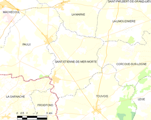
Saint-Étienne-de-Mer-Morte
- commune in Loire-Atlantique, France
- Country:

- Postal Code: 44270
- Coordinates: 46° 55' 47" N, 1° 44' 34" E


- GPS tracks (wikiloc): [Link]
- Area: 27.33 sq km
- Population: 1680


Saint-Léger-les-Vignes
- commune in Loire-Atlantique, France
- Country:

- Postal Code: 44710
- Coordinates: 47° 8' 10" N, 1° 43' 56" E


- GPS tracks (wikiloc): [Link]
- Area: 6.49 sq km
- Population: 1708
- Web site: [Link]
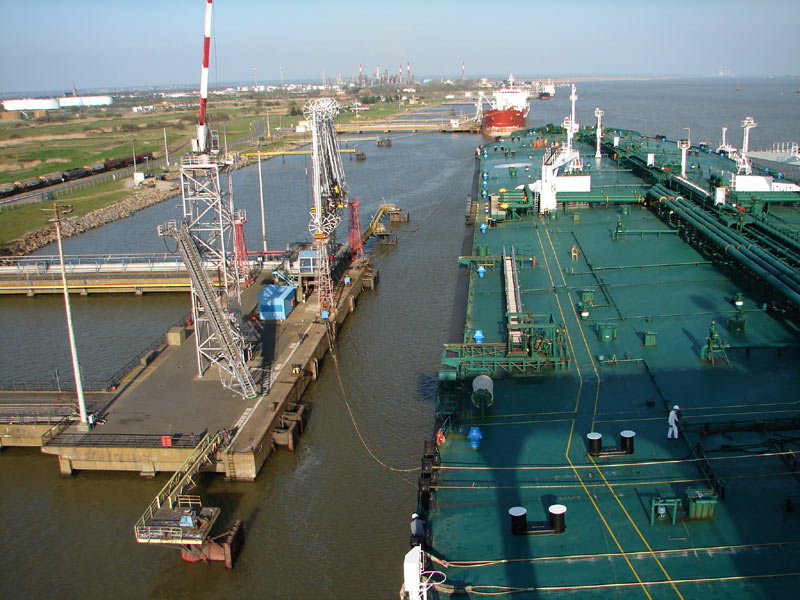

Donges
- commune in Loire-Atlantique, France
- Country:

- Postal Code: 44480
- Coordinates: 47° 19' 6" N, 2° 4' 31" E


- GPS tracks (wikiloc): [Link]
- Area: 48.5 sq km
- Population: 7699
- Web site: [Link]

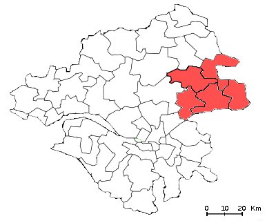
arrondissement of Ancenis
- former arrondissement of France
- Country:

- Capital: Ancenis
- Coordinates: 47° 25' 0" N, 1° 15' 0" E


- GPS tracks (wikiloc): [Link]
- Area: 791 sq km
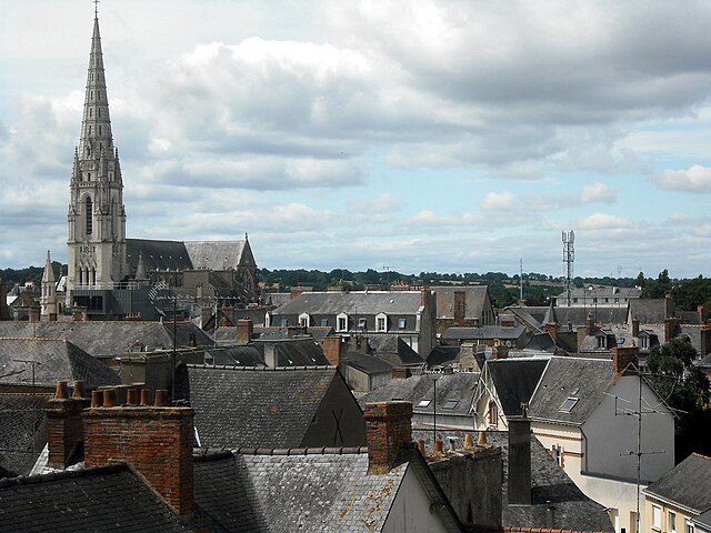

arrondissement of Châteaubriant
- former arrondissement of France
- Country:

- Capital: Châteaubriant
- Coordinates: 47° 35' 0" N, 1° 40' 0" E


- GPS tracks (wikiloc): [Link]
- Area: 2148 sq km


Saint-Vincent-des-Landes
- commune in Loire-Atlantique, France
- Country:

- Postal Code: 44590
- Coordinates: 47° 39' 20" N, 1° 29' 48" E


- GPS tracks (wikiloc): [Link]
- Area: 33.7 sq km
- Population: 1519
- Web site: [Link]

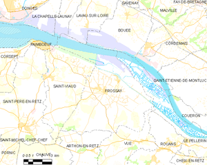
Frossay
- commune in Loire-Atlantique, France
- Country:

- Postal Code: 44320
- Coordinates: 47° 14' 38" N, 1° 56' 3" E


- GPS tracks (wikiloc): [Link]
- Area: 57.22 sq km
- Population: 3184
- Web site: [Link]


Quilly
- commune in Loire-Atlantique, France
- Country:

- Postal Code: 44750
- Coordinates: 47° 27' 42" N, 1° 57' 12" E


- GPS tracks (wikiloc): [Link]
- Area: 17.67 sq km
- Population: 1377


Notre-Dame-des-Landes
- commune in Loire-Atlantique, France
- Country:

- Postal Code: 44130
- Coordinates: 47° 22' 51" N, 1° 42' 36" E


- GPS tracks (wikiloc): [Link]
- Area: 37.4 sq km
- Population: 2098
- Web site: [Link]

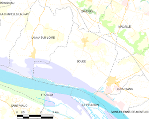
Bouée
- commune in Loire-Atlantique, France
- Country:

- Postal Code: 44260
- Coordinates: 47° 19' 15" N, 1° 54' 36" E


- GPS tracks (wikiloc): [Link]
- Area: 21.29 sq km
- Population: 937


Avessac
- commune in Loire-Atlantique, France
- Country:

- Postal Code: 44460
- Coordinates: 47° 39' 12" N, 1° 59' 23" E


- GPS tracks (wikiloc): [Link]
- Area: 76.49 sq km
- Population: 2525
- Web site: [Link]


Malville
- commune in Loire-Atlantique, France
- Country:

- Postal Code: 44260
- Coordinates: 47° 21' 40" N, 1° 51' 50" E


- GPS tracks (wikiloc): [Link]
- Area: 31.24 sq km
- Population: 3395


Arthon-en-Retz
- former commune in Loire-Atlantique, France
- Country:

- Postal Code: 44320
- Coordinates: 47° 6' 59" N, 1° 56' 19" E


- GPS tracks (wikiloc): [Link]
- Area: 39.24 sq km
- Population: 4121
- Web site: [Link]


Saint-Julien-de-Concelles
- commune in Loire-Atlantique, France
- Country:

- Postal Code: 44450
- Coordinates: 47° 15' 12" N, 1° 23' 8" E


- GPS tracks (wikiloc): [Link]
- Area: 31.74 sq km
- Population: 6860
- Web site: [Link]
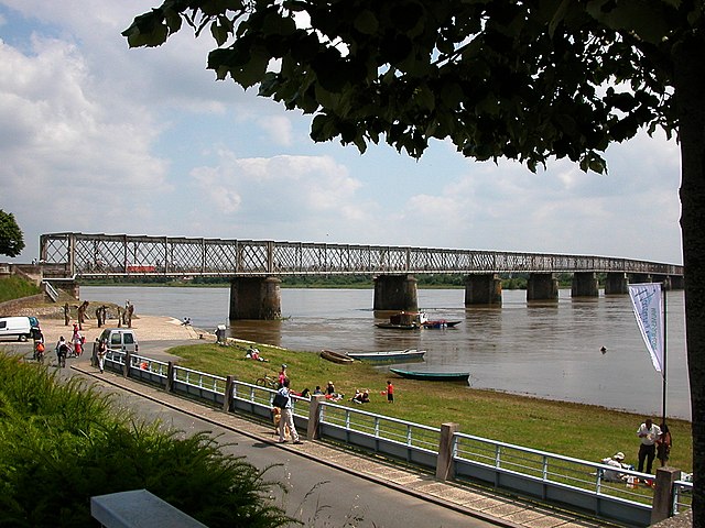

Mauves-sur-Loire
- commune in Loire-Atlantique, France
- Country:

- Postal Code: 44470
- Coordinates: 47° 17' 46" N, 1° 23' 36" E


- GPS tracks (wikiloc): [Link]
- Area: 14.75 sq km
- Population: 3200
- Web site: [Link]
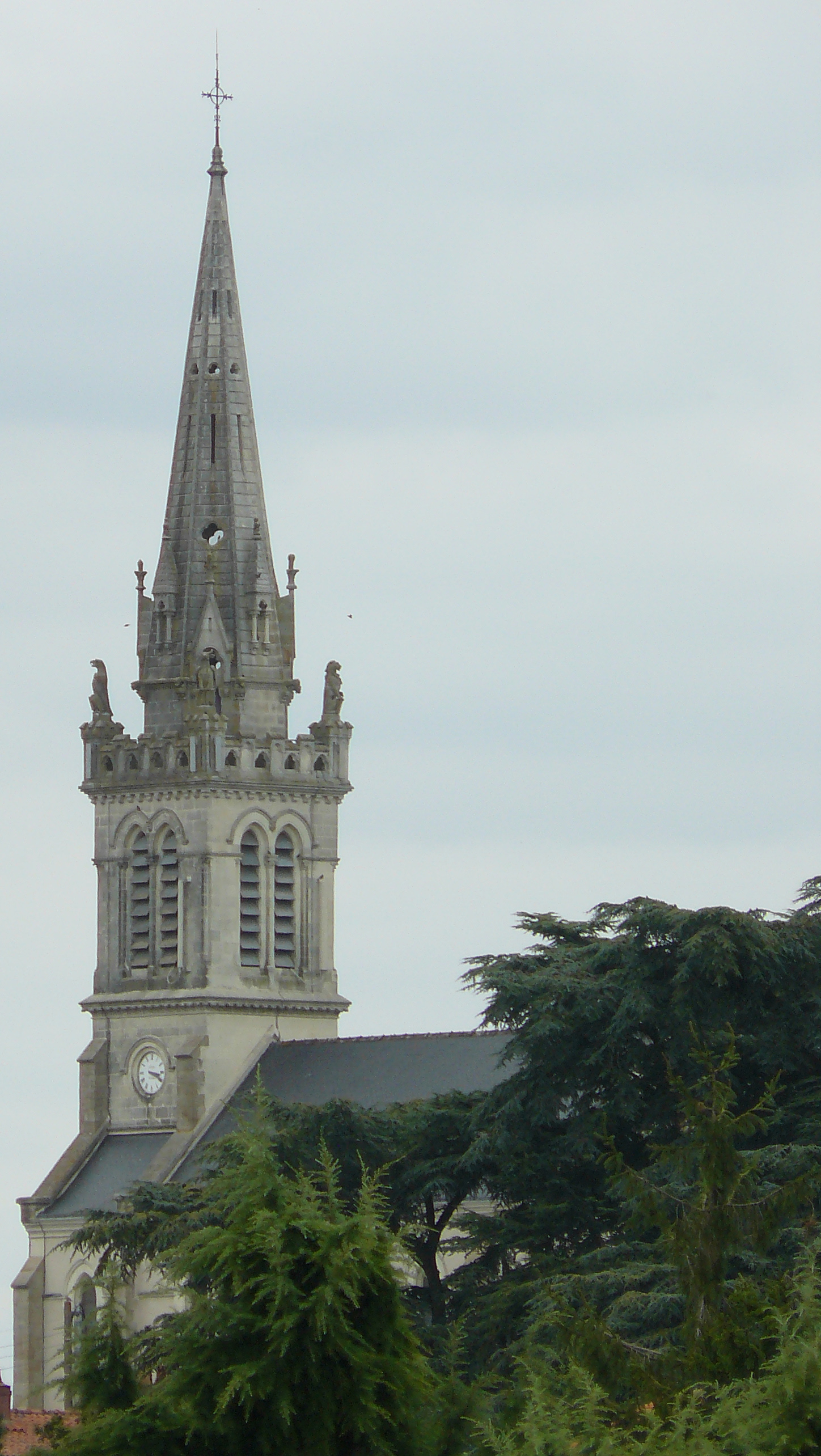

Gorges
- commune in Loire-Atlantique, France
- Country:

- Postal Code: 44190
- Coordinates: 47° 6' 6" N, 1° 18' 14" E


- GPS tracks (wikiloc): [Link]
- Area: 15.77 sq km
- Population: 4495
- Web site: [Link]

La Boissière-du-Doré
- commune in Loire-Atlantique, France
- Country:

- Postal Code: 44430
- Coordinates: 47° 13' 55" N, 1° 13' 12" E


- GPS tracks (wikiloc): [Link]
- AboveSeaLevel: 80 м m
- Area: 9.41 sq km
- Population: 1038
- Web site: [Link]


Herbignac
- commune in Loire-Atlantique, France
- Country:

- Postal Code: 44410
- Coordinates: 47° 26' 56" N, 2° 19' 3" E


- GPS tracks (wikiloc): [Link]
- Area: 71.43 sq km
- Population: 6582
- Web site: [Link]


Pornic
- commune in Loire-Atlantique, France
- Country:

- Postal Code: 44210
- Coordinates: 47° 6' 43" N, 2° 5' 20" E


- GPS tracks (wikiloc): [Link]
- Area: 94.18 sq km
- Population: 14902
- Web site: [Link]

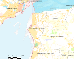
Saint-Brevin-les-Pins
- commune in Loire-Atlantique, France
- Country:

- Postal Code: 44250
- Coordinates: 47° 14' 47" N, 2° 10' 1" E


- GPS tracks (wikiloc): [Link]
- Area: 19.29 sq km
- Population: 13492
- Web site: [Link]


Oudon
- commune in Loire-Atlantique, France
- Country:

- Postal Code: 44521
- Coordinates: 47° 20' 47" N, 1° 17' 13" E


- GPS tracks (wikiloc): [Link]
- Area: 22.12 sq km
- Population: 3720
- Web site: [Link]
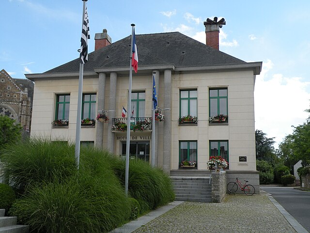

Bouvron
- commune in Loire-Atlantique, France
- Country:

- Postal Code: 44130
- Coordinates: 47° 25' 4" N, 1° 50' 52" E


- GPS tracks (wikiloc): [Link]
- Area: 47.63 sq km
- Population: 3110
- Web site: [Link]


Puceul
- commune in Loire-Atlantique, France
- Country:

- Postal Code: 44390
- Coordinates: 47° 31' 19" N, 1° 37' 1" E


- GPS tracks (wikiloc): [Link]
- Area: 20.09 sq km
- Population: 1098
- Web site: [Link]


Bouaye
- commune in Loire-Atlantique, France
- Country:

- Postal Code: 44830
- Coordinates: 47° 8' 37" N, 1° 41' 20" E


- GPS tracks (wikiloc): [Link]
- Area: 13.83 sq km
- Population: 7300
- Web site: [Link]
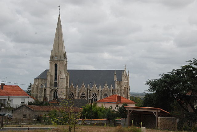
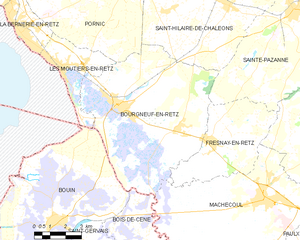
Bourgneuf-en-Retz
- former commune in Loire-Atlantique, France
- Country:

- Postal Code: 44580
- Coordinates: 47° 2' 35" N, 1° 57' 10" E


- GPS tracks (wikiloc): [Link]
- Area: 53.19 sq km
- Population: 3613
- Web site: [Link]


Erbray
- commune in Loire-Atlantique, France
- Country:

- Postal Code: 44110
- Coordinates: 47° 39' 21" N, 1° 19' 4" E


- GPS tracks (wikiloc): [Link]
- Area: 58.18 sq km
- Population: 2946
- Web site: [Link]

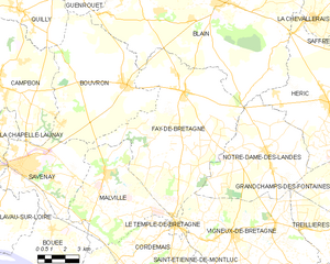
Fay-de-Bretagne
- commune in Loire-Atlantique, France
- Country:

- Postal Code: 44130
- Coordinates: 47° 24' 54" N, 1° 47' 29" E


- GPS tracks (wikiloc): [Link]
- Area: 64.81 sq km
- Population: 3568
- Web site: [Link]
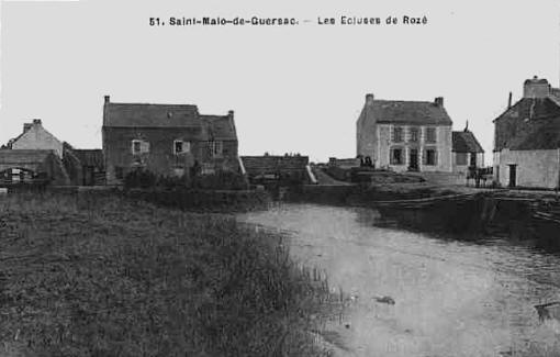

Saint-Malo-de-Guersac
- commune in Loire-Atlantique, France
- Country:

- Postal Code: 44550
- Coordinates: 47° 21' 3" N, 2° 10' 47" E


- GPS tracks (wikiloc): [Link]
- Area: 14.62 sq km
- Population: 3181
- Web site: [Link]


Grand-Auverné
- commune in Loire-Atlantique, France
- Country:

- Postal Code: 44520
- Coordinates: 47° 35' 29" N, 1° 19' 50" E


- GPS tracks (wikiloc): [Link]
- Area: 34.4 sq km
- Population: 776
- Web site: [Link]


Brains
- commune in Loire-Atlantique, France
- Country:

- Postal Code: 44830
- Coordinates: 47° 10' 9" N, 1° 43' 18" E


- GPS tracks (wikiloc): [Link]
- Area: 15.31 sq km
- Population: 2741
- Web site: [Link]


La Chapelle-Basse-Mer
- former commune in Loire-Atlantique, France
- Country:

- Postal Code: 44450
- Coordinates: 47° 16' 18" N, 1° 20' 17" E


- GPS tracks (wikiloc): [Link]
- Area: 22.14 sq km
- Population: 5335
- Web site: [Link]

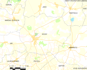
Nozay
- commune in Loire-Atlantique, France
- Country:

- Postal Code: 44170
- Coordinates: 47° 33' 52" N, 1° 37' 31" E


- GPS tracks (wikiloc): [Link]
- Area: 57.7 sq km
- Population: 4087
- Web site: [Link]
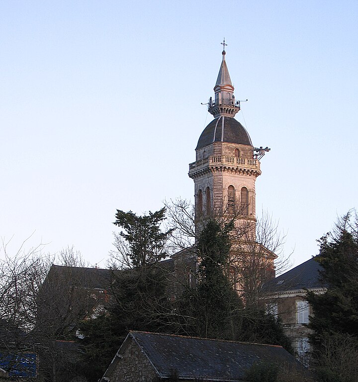

Savenay
- commune in Loire-Atlantique, France
- Country:

- Postal Code: 44260
- Coordinates: 47° 21' 39" N, 1° 56' 32" E


- GPS tracks (wikiloc): [Link]
- AboveSeaLevel: 49 м m
- Area: 26 sq km
- Population: 8319
- Web site: [Link]


Pontchâteau
- commune in Loire-Atlantique, France
- Country:

- Postal Code: 44160
- Coordinates: 47° 26' 17" N, 2° 5' 24" E


- GPS tracks (wikiloc): [Link]
- Area: 55.79 sq km
- Population: 10604
- Web site: [Link]
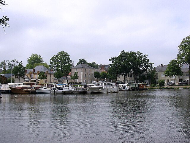

Nort-sur-Erdre
- commune in Loire-Atlantique, France
- Country:

- Postal Code: 44390
- Coordinates: 47° 26' 22" N, 1° 29' 54" E


- GPS tracks (wikiloc): [Link]
- Area: 66.56 sq km
- Population: 8539
- Web site: [Link]

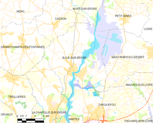
Sucé-sur-Erdre
- commune in Loire-Atlantique, France
- Country:

- Postal Code: 44240
- Coordinates: 47° 20' 0" N, 1° 32' 0" E


- GPS tracks (wikiloc): [Link]
- AboveSeaLevel: 14 м m
- Area: 41.33 sq km
- Population: 6903
- Web site: [Link]


Geneston
- commune in Loire-Atlantique, France
- Country:

- Postal Code: 44140
- Coordinates: 47° 3' 20" N, 1° 30' 46" E


- GPS tracks (wikiloc): [Link]
- AboveSeaLevel: 19 м m
- Area: 8.04 sq km
- Population: 3636
- Web site: [Link]


Le Croisic
- commune in Loire-Atlantique, France
- Country:

- Postal Code: 44490
- Coordinates: 47° 17' 35" N, 2° 30' 38" E


- GPS tracks (wikiloc): [Link]
- Area: 4.5 sq km
- Population: 4040
- Web site: [Link]


Guémené-Penfao
- commune in Loire-Atlantique, France
- Country:

- Postal Code: 44290
- Coordinates: 47° 37' 48" N, 1° 49' 57" E


- GPS tracks (wikiloc): [Link]
- Area: 105.51 sq km
- Population: 5231
- Web site: [Link]


Belligné
- former commune in Loire-Atlantique, France
- Country:

- Postal Code: 44370
- Coordinates: 47° 28' 3" N, 1° 1' 41" E


- GPS tracks (wikiloc): [Link]
- Area: 32.8 sq km
- Population: 1858
- Web site: [Link]

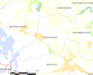
Fresnay-en-Retz
- former commune in Loire-Atlantique, France
- Country:

- Postal Code: 44580
- Coordinates: 47° 1' 28" N, 1° 52' 35" E


- GPS tracks (wikiloc): [Link]
- Area: 20.49 sq km
- Population: 1296
- Web site: [Link]

Vallet
- commune in Loire-Atlantique, France
- Country:

- Postal Code: 44330
- Coordinates: 47° 9' 42" N, 1° 16' 1" E


- GPS tracks (wikiloc): [Link]
- Area: 58.96 sq km
- Population: 8838
- Web site: [Link]

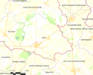
Legé
- commune in Loire-Atlantique, France
- Country:

- Postal Code: 44650
- Coordinates: 46° 53' 8" N, 1° 35' 56" E


- GPS tracks (wikiloc): [Link]
- Area: 63.32 sq km
- Population: 4491
- Web site: [Link]


Drefféac
- commune in Loire-Atlantique, France
- Country:

- Postal Code: 44530
- Coordinates: 47° 28' 29" N, 2° 3' 28" E


- GPS tracks (wikiloc): [Link]
- Area: 14.16 sq km
- Population: 2149
- Web site: [Link]


Sion-les-Mines
- commune in Loire-Atlantique, France
- Country:

- Postal Code: 44590
- Coordinates: 47° 44' 6" N, 1° 35' 31" E


- GPS tracks (wikiloc): [Link]
- Area: 54.71 sq km
- Population: 1612
- Web site: [Link]


La Chapelle-Heulin
- commune in Loire-Atlantique, France
- Country:

- Postal Code: 44330
- Coordinates: 47° 10' 35" N, 1° 20' 26" E


- GPS tracks (wikiloc): [Link]
- Area: 13.47 sq km
- Population: 3266
- Web site: [Link]


Assérac
- commune in Loire-Atlantique, France
- Country:

- Postal Code: 44410
- Coordinates: 47° 25' 45" N, 2° 23' 26" E


- GPS tracks (wikiloc): [Link]
- Area: 32.91 sq km
- Population: 1801
- Web site: [Link]
Shares border with regions:
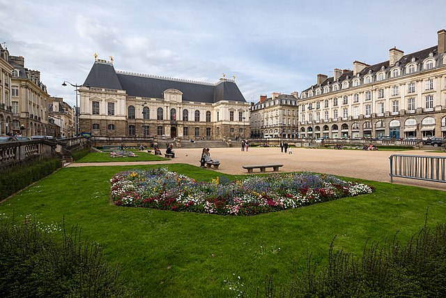

Ille-et-Vilaine
- French department
- Country:

- Capital: Rennes
- Coordinates: 48° 10' 0" N, 1° 40' 0" E


- GPS tracks (wikiloc): [Link]
- Area: 6775 sq km
- Population: 1042884
- Web site: [Link]

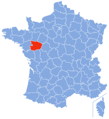
Maine-et-Loire
- French department
- Country:

- Capital: Angers
- Coordinates: 47° 27' 0" N, 0° 36' 0" E


- GPS tracks (wikiloc): [Link]
- Area: 7166 sq km
- Population: 810186
- Web site: [Link]
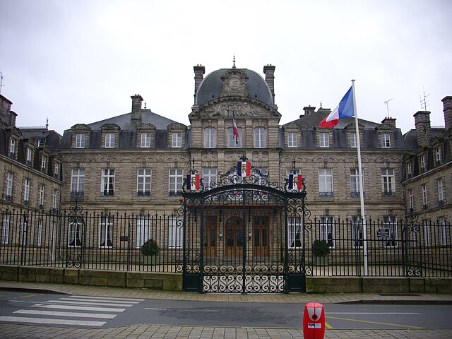
Morbihan
- French department
- Country:

- Capital: Vannes
- Coordinates: 47° 50' 0" N, 2° 50' 0" E


- GPS tracks (wikiloc): [Link]
- Area: 6823 sq km
- Population: 744813
- Web site: [Link]

Vendée
- French department
- Country:

- Capital: La Roche-sur-Yon
- Coordinates: 46° 40' 14" N, 1° 25' 36" E


- GPS tracks (wikiloc): [Link]
- Area: 6720 sq km
- Population: 666714
- Web site: [Link]

