La Motte-Saint-Jean (La Motte-Saint-Jean)

- commune in Saône-et-Loire, France
- Country:

- Postal Code: 71160
- Coordinates: 46° 29' 42" N, 3° 57' 50" E


- GPS tracks (wikiloc): [Link]
- Area: 21.32 sq km
- Population: 1230
- Web site: http://www.la-motte-saint-jean.fr
- Wikipedia en: wiki(en)
- Wikipedia: wiki(fr)
- Wikidata storage: Wikidata: Q1454524
- Wikipedia Commons Category: [Link]
- Wikipedia Commons Maps Category: [Link]
- Freebase ID: [/m/03qh107]
- Freebase ID: [/m/03qh107]
- GeoNames ID: Alt: [6456388]
- GeoNames ID: Alt: [6456388]
- SIREN number: [217103258]
- SIREN number: [217103258]
- BnF ID: [15273296s]
- BnF ID: [15273296s]
- INSEE municipality code: 71325
- INSEE municipality code: 71325
Shares border with regions:

Molinet
- commune in Allier, France
- Country:
- Postal Code: 03510
- Coordinates: 46° 27' 57" N, 3° 56' 9" E
- GPS tracks (wikiloc): [Link]
- Area: 25.98 sq km
- Population: 1171
- Web site: [Link]


Neuvy-Grandchamp
- commune in Saône-et-Loire, France
- Country:
- Postal Code: 71130
- Coordinates: 46° 35' 22" N, 3° 55' 58" E
- GPS tracks (wikiloc): [Link]
- Area: 49.64 sq km
- Population: 767
- Web site: [Link]


Les Guerreaux
- commune in Saône-et-Loire, France
- Country:
- Postal Code: 71160
- Coordinates: 46° 32' 4" N, 3° 55' 21" E
- GPS tracks (wikiloc): [Link]
- Area: 20.01 sq km
- Population: 243


Rigny-sur-Arroux
- commune in Saône-et-Loire, France
- Country:
- Postal Code: 71160
- Coordinates: 46° 31' 58" N, 4° 1' 40" E
- GPS tracks (wikiloc): [Link]
- Area: 48.17 sq km
- Population: 661
- Web site: [Link]


Saint-Agnan
- commune in Saône-et-Loire, France
- Country:
- Postal Code: 71160
- Coordinates: 46° 30' 17" N, 3° 52' 48" E
- GPS tracks (wikiloc): [Link]
- AboveSeaLevel: 288 м m
- Area: 25.72 sq km
- Population: 714
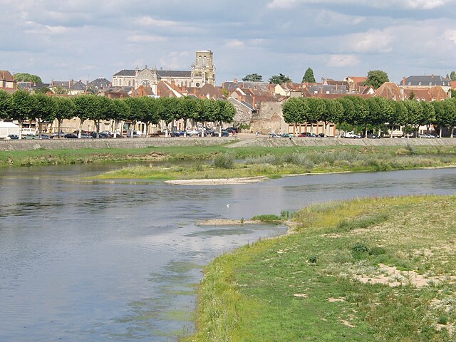

Digoin
- commune in Saône-et-Loire, France
- Country:
- Postal Code: 71160
- Coordinates: 46° 28' 55" N, 3° 58' 50" E
- GPS tracks (wikiloc): [Link]
- Area: 34.72 sq km
- Population: 7908
- Web site: [Link]