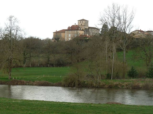
La Péruse (La Péruse)

- commune in Charente, France
- Country:

- Postal Code: 16270
- Coordinates: 45° 52' 39" N, 0° 37' 4" E


- GPS tracks (wikiloc): [Link]
- Area: 8.52 sq km
- Population: 518
- Wikipedia en: wiki(en)
- Wikipedia: wiki(fr)
- Wikidata storage: Wikidata: Q1624069
- Wikipedia Commons Category: [Link]
- Freebase ID: [/m/03mccmx]
- GeoNames ID: Alt: [3007371]
- SIREN number: [211602594]
- BnF ID: [152486985]
- INSEE municipality code: 16259
Shares border with regions:

Manot
- commune in Charente, France
- Country:
- Postal Code: 16500
- Coordinates: 45° 56' 34" N, 0° 38' 15" E
- GPS tracks (wikiloc): [Link]
- Area: 20.34 sq km
- Population: 576
- Web site: [Link]


Exideuil
- commune in Charente, France
- Country:
- Postal Code: 16150
- Coordinates: 45° 53' 10" N, 0° 40' 25" E
- GPS tracks (wikiloc): [Link]
- Area: 20.56 sq km
- Population: 1037
- Web site: [Link]


Roumazières-Loubert
- commune in Charente, France
- Country:
- Postal Code: 16270
- Coordinates: 45° 53' 42" N, 0° 34' 31" E
- GPS tracks (wikiloc): [Link]
- Area: 46.59 sq km
- Population: 2494
- Web site: [Link]


Suris
- commune in Charente, France
- Country:
- Postal Code: 16270
- Coordinates: 45° 50' 58" N, 0° 38' 14" E
- GPS tracks (wikiloc): [Link]
- Area: 11.08 sq km
- Population: 250