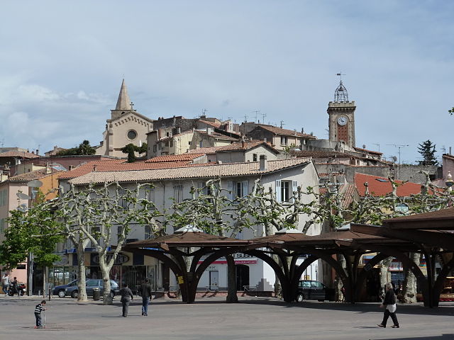
La Penne-sur-Huveaune (La Penne-sur-Huveaune)

- commune in Bouches-du-Rhône, France
- Country:

- Postal Code: 13821
- Coordinates: 43° 16' 50" N, 5° 30' 57" E


- GPS tracks (wikiloc): [Link]
- Area: 3.56 sq km
- Population: 6385
- Web site: http://www.mairie-lapennesurhuveaune.fr
- Wikipedia en: wiki(en)
- Wikipedia: wiki(fr)
- Wikidata storage: Wikidata: Q389455
- Wikipedia Commons Category: [Link]
- Freebase ID: [/m/0281n13]
- GeoNames ID: Alt: [3007401]
- SIREN number: [211300702]
- BnF ID: [15247352s]
- VIAF ID: Alt: [146495921]
- PACTOLS thesaurus ID: [pcrtDiRIVXLNmS]
- MusicBrainz area ID: [5f041032-1794-4508-b1ad-60ab254b6106]
- SUDOC authorities ID: [033685878]
- INSEE municipality code: 13070
Shares border with regions:

Aubagne
- commune in Bouches-du-Rhône, France
- Country:
- Postal Code: 13400
- Coordinates: 43° 17' 27" N, 5° 34' 15" E
- GPS tracks (wikiloc): [Link]
- Area: 54.9 sq km
- Population: 45410
- Web site: [Link]

Marseille
- commune in Bouches-du-Rhône, the second largest city of France
 Hiking in Marseille
Hiking in Marseille offers a wonderful blend of stunning coastal views, dramatic landscapes, and rich natural biodiversity. The Calanques National Park, located just south of the city, is a highlight for hikers. Here are some key aspects to consider when hiking in Marseille:...
- Country:
- Postal Code: 13016; 13015; 13014; 13013; 13012; 13011; 13010; 13009; 13008; 13007; 13006; 13005; 13003; 13004; 13002; 13001; 13000
- Local Dialing Code: 496; 491
- Coordinates: 43° 17' 48" N, 5° 22' 35" E
- GPS tracks (wikiloc): [Link]
- AboveSeaLevel: 12 м m
- Area: 240.62 sq km
- Population: 855393
- Web site: [Link]