La Romagne (La Romagne)

- commune in Maine-et-Loire, France
- Country:

- Postal Code: 49740
- Coordinates: 47° 3' 40" N, 1° 1' 19" E


- GPS tracks (wikiloc): [Link]
- Area: 15.93 sq km
- Population: 1825
- Wikipedia en: wiki(en)
- Wikipedia: wiki(fr)
- Wikidata storage: Wikidata: Q835513
- Wikipedia Commons Category: [Link]
- Freebase ID: [/m/03x_t2m]
- GeoNames ID: Alt: [6455415]
- SIREN number: [214902603]
- BnF ID: [15261859j]
- INSEE municipality code: 49260
Shares border with regions:
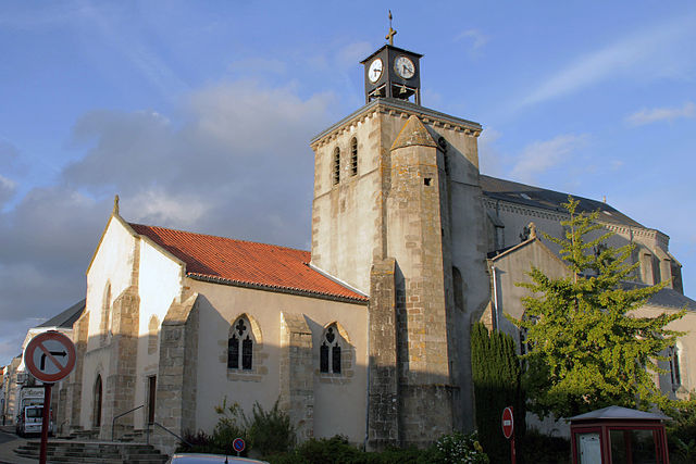
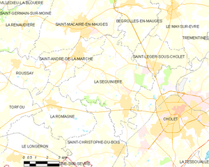
La Séguinière
- commune in Maine-et-Loire, France
- Country:
- Postal Code: 49280
- Coordinates: 47° 3' 47" N, 0° 56' 23" E
- GPS tracks (wikiloc): [Link]
- Area: 31.15 sq km
- Population: 4041
- Web site: [Link]
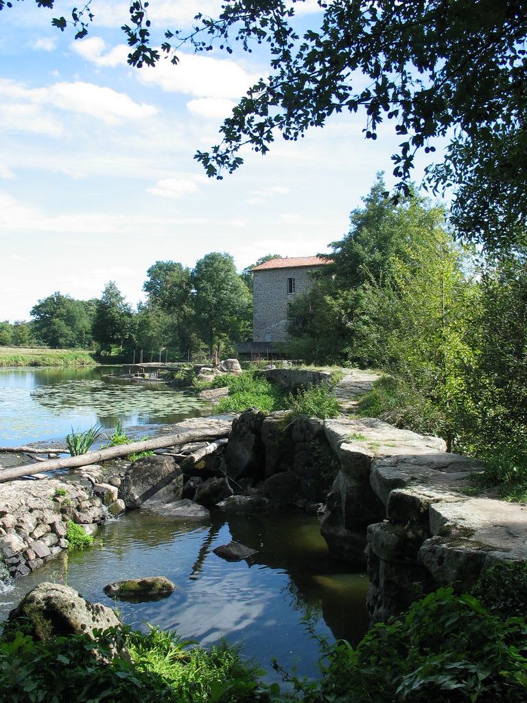
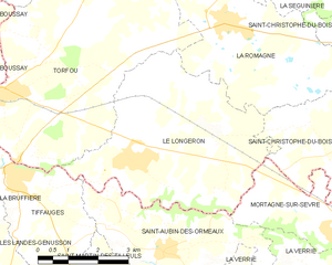
Le Longeron
- former commune in Maine-et-Loire, France
- Country:
- Postal Code: 49710
- Coordinates: 47° 1' 5" N, 1° 3' 33" E
- GPS tracks (wikiloc): [Link]
- AboveSeaLevel: 131 м m
- Area: 22.08 sq km
- Population: 2184
- Web site: [Link]


Saint-Christophe-du-Bois
- commune in Maine-et-Loire, France
- Country:
- Postal Code: 49280
- Coordinates: 47° 1' 43" N, 0° 56' 43" E
- GPS tracks (wikiloc): [Link]
- Area: 21.75 sq km
- Population: 2642


Roussay
- former commune in Maine-et-Loire, France
- Country:
- Postal Code: 49450
- Coordinates: 47° 5' 26" N, 1° 3' 53" E
- GPS tracks (wikiloc): [Link]
- Area: 10.99 sq km
- Population: 1243
- Web site: [Link]

Torfou
- former commune in Maine-et-Loire, France
- Country:
- Postal Code: 49660
- Coordinates: 47° 2' 15" N, 1° 6' 57" E
- GPS tracks (wikiloc): [Link]
- AboveSeaLevel: 114 м m
- Area: 32.35 sq km
- Population: 2185
- Web site: [Link]


Saint-André-de-la-Marche
- former commune in Maine-et-Loire, France
- Country:
- Postal Code: 49450
- Coordinates: 47° 6' 0" N, 0° 59' 42" E
- GPS tracks (wikiloc): [Link]
- Area: 11.03 sq km
- Population: 2958
- Web site: [Link]