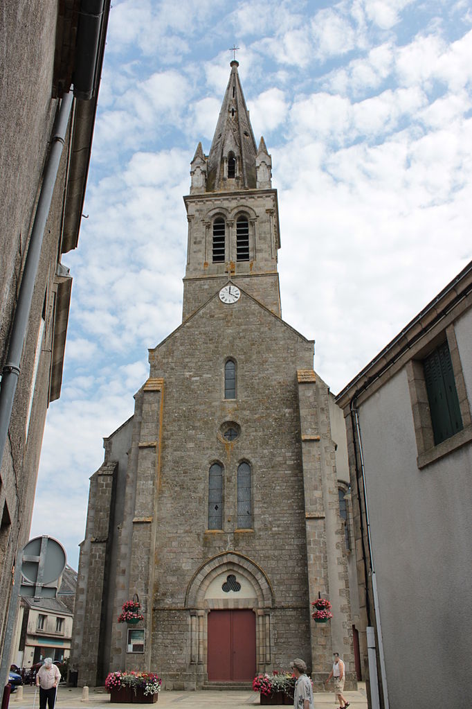
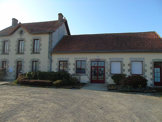
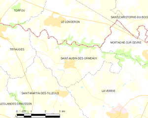
Le Longeron (Le Longeron)

- former commune in Maine-et-Loire, France
- Country:

- Postal Code: 49710
- Coordinates: 47° 1' 5" N, 1° 3' 33" E


- GPS tracks (wikiloc): [Link]
- AboveSeaLevel: 131 м m
- Area: 22.08 sq km
- Population: 2184
- Web site: http://www.le-longeron.fr/
- Wikipedia en: wiki(en)
- Wikipedia: wiki(fr)
- Wikidata storage: Wikidata: Q1464304
- Wikipedia Commons Category: [Link]
- Freebase ID: [/m/03w9jq7]
- GeoNames ID: Alt: [6614565]
- BnF ID: [152617803]
- INSEE municipality code: 49179
Shares border with regions:


Mortagne-sur-Sèvre
- commune in Vendée, France
- Country:
- Postal Code: 85290
- Coordinates: 46° 59' 30" N, 0° 57' 14" E
- GPS tracks (wikiloc): [Link]
- Area: 21.94 sq km
- Population: 5964
- Web site: [Link]


Saint-Christophe-du-Bois
- commune in Maine-et-Loire, France
- Country:
- Postal Code: 49280
- Coordinates: 47° 1' 43" N, 0° 56' 43" E
- GPS tracks (wikiloc): [Link]
- Area: 21.75 sq km
- Population: 2642

Torfou
- former commune in Maine-et-Loire, France
- Country:
- Postal Code: 49660
- Coordinates: 47° 2' 15" N, 1° 6' 57" E
- GPS tracks (wikiloc): [Link]
- AboveSeaLevel: 114 м m
- Area: 32.35 sq km
- Population: 2185
- Web site: [Link]

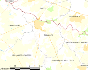
Tiffauges
- commune in Vendée, France
- Country:
- Postal Code: 85130
- Coordinates: 47° 0' 49" N, 1° 6' 41" E
- GPS tracks (wikiloc): [Link]
- Area: 9.92 sq km
- Population: 1605
- Web site: [Link]
Saint-Aubin-des-Ormeaux
- commune in Vendée, France
- Country:
- Postal Code: 85130
- Coordinates: 46° 59' 33" N, 1° 2' 34" E
- GPS tracks (wikiloc): [Link]
- Area: 12.63 sq km
- Population: 1346
- Web site: [Link]


La Romagne
- commune in Maine-et-Loire, France
- Country:
- Postal Code: 49740
- Coordinates: 47° 3' 40" N, 1° 1' 19" E
- GPS tracks (wikiloc): [Link]
- Area: 15.93 sq km
- Population: 1825