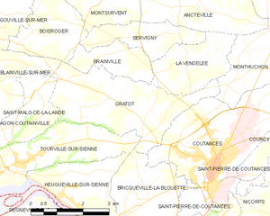
La Vendelée (La Vendelée)

- commune in Manche, France
- Country:

- Postal Code: 50200
- Coordinates: 49° 4' 52" N, 1° 27' 45" E


- GPS tracks (wikiloc): [Link]
- Area: 5.04 sq km
- Population: 448
- Wikipedia en: wiki(en)
- Wikipedia: wiki(fr)
- Wikidata storage: Wikidata: Q1061087
- Wikipedia Commons Category: [Link]
- Freebase ID: [/m/03nxcll]
- Freebase ID: [/m/03nxcll]
- GeoNames ID: Alt: [6456167]
- GeoNames ID: Alt: [6456167]
- SIREN number: [215006248]
- SIREN number: [215006248]
- INSEE municipality code: 50624
- INSEE municipality code: 50624
Shares border with regions:


Brainville
- commune in Manche, France
- Country:
- Postal Code: 50200
- Coordinates: 49° 5' 10" N, 1° 29' 53" E
- GPS tracks (wikiloc): [Link]
- Area: 3.19 sq km
- Population: 226

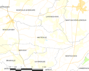
Ancteville
- commune in Manche, France
- Country:
- Postal Code: 50200
- Coordinates: 49° 6' 10" N, 1° 28' 44" E
- GPS tracks (wikiloc): [Link]
- Area: 7.74 sq km
- Population: 249

Servigny
- commune in Manche, France
- Country:
- Postal Code: 50200
- Coordinates: 49° 5' 37" N, 1° 28' 27" E
- GPS tracks (wikiloc): [Link]
- Area: 3.95 sq km
- Population: 196


Monthuchon
- commune in Manche, France
- Country:
- Postal Code: 50200
- Coordinates: 49° 4' 56" N, 1° 25' 19" E
- GPS tracks (wikiloc): [Link]
- Area: 7.66 sq km
- Population: 651
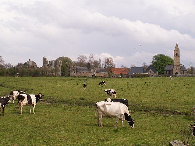
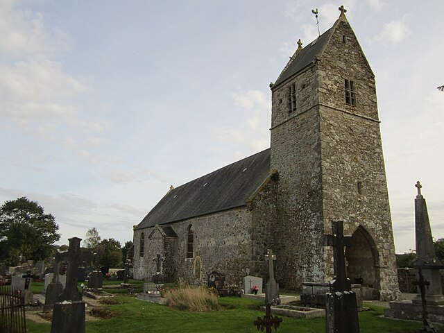
Gratot
- commune in Manche, France
- Country:
- Postal Code: 50200
- Coordinates: 49° 4' 7" N, 1° 29' 45" E
- GPS tracks (wikiloc): [Link]
- Area: 10.73 sq km
- Population: 646
- Web site: [Link]