Lachaussée (Lachaussée)

- commune in Meuse, France
- Country:

- Postal Code: 55210
- Coordinates: 49° 2' 14" N, 5° 49' 7" E


- GPS tracks (wikiloc): [Link]
- Area: 27.19 sq km
- Population: 272
- Web site: http://www.lachaussee.fr/systeme/m1.php
- Wikipedia en: wiki(en)
- Wikipedia: wiki(fr)
- Wikidata storage: Wikidata: Q687535
- Wikipedia Commons Category: [Link]
- Freebase ID: [/m/03qdrm7]
- GeoNames ID: Alt: [3010103]
- SIREN number: [215502675]
- BnF ID: [15264933v]
- INSEE municipality code: 55267
Shares border with regions:


Hagéville
- commune in Meurthe-et-Moselle, France
- Country:
- Postal Code: 54470
- Coordinates: 49° 1' 55" N, 5° 51' 41" E
- GPS tracks (wikiloc): [Link]
- Area: 8.94 sq km
- Population: 114

Xonville
- commune in Meurthe-et-Moselle, France
- Country:
- Postal Code: 54800
- Coordinates: 49° 3' 19" N, 5° 50' 55" E
- GPS tracks (wikiloc): [Link]
- Area: 7.27 sq km
- Population: 135

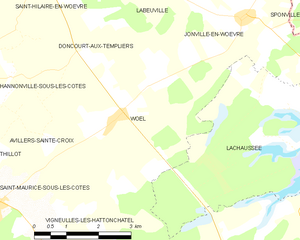
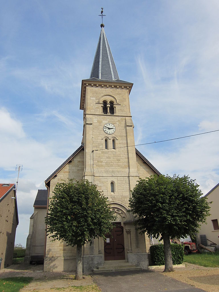
Woël
- commune in Meuse, France
- Country:
- Postal Code: 55210
- Coordinates: 49° 2' 22" N, 5° 43' 46" E
- GPS tracks (wikiloc): [Link]
- Area: 13.21 sq km
- Population: 201

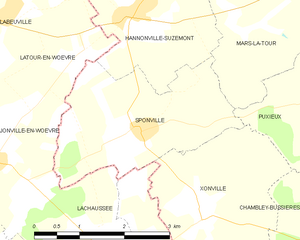
Sponville
- commune in Meurthe-et-Moselle, France
- Country:
- Postal Code: 54800
- Coordinates: 49° 4' 20" N, 5° 49' 58" E
- GPS tracks (wikiloc): [Link]
- Area: 7.2 sq km
- Population: 124


Vigneulles-lès-Hattonchâtel
- commune in Meuse, France
- Country:
- Postal Code: 55210
- Coordinates: 48° 58' 52" N, 5° 42' 13" E
- GPS tracks (wikiloc): [Link]
- AboveSeaLevel: 259 м m
- Area: 62.59 sq km
- Population: 1572
- Web site: [Link]


Jonville-en-Woëvre
- commune in Meuse, France
- Country:
- Postal Code: 55160
- Coordinates: 49° 4' 0" N, 5° 47' 9" E
- GPS tracks (wikiloc): [Link]
- Area: 10.81 sq km
- Population: 147


Dampvitoux
- commune in Meurthe-et-Moselle, France
- Country:
- Postal Code: 54470
- Coordinates: 49° 0' 47" N, 5° 50' 34" E
- GPS tracks (wikiloc): [Link]
- Area: 9.19 sq km
- Population: 60