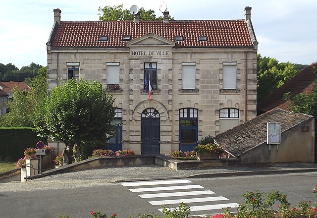
Lagardelle (Lagardelle)

- commune in Lot, France
- Country:

- Postal Code: 46220
- Coordinates: 44° 29' 34" N, 1° 10' 10" E


- GPS tracks (wikiloc): [Link]
- Area: 3.07 sq km
- Population: 120
- Wikipedia en: wiki(en)
- Wikipedia: wiki(fr)
- Wikidata storage: Wikidata: Q1321893
- Wikipedia Commons Category: [Link]
- Freebase ID: [/m/03nwnh5]
- GeoNames ID: Alt: [6454167]
- SIREN number: [214601478]
- BnF ID: [15260888w]
- INSEE municipality code: 46147
Shares border with regions:


Pescadoires
- commune in Lot, France
- Country:
- Postal Code: 46220
- Coordinates: 44° 30' 16" N, 1° 9' 26" E
- GPS tracks (wikiloc): [Link]
- Area: 3.28 sq km
- Population: 192
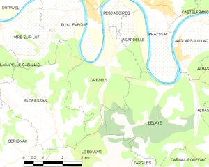
Grézels
- commune in Lot, France
- Country:
- Postal Code: 46700
- Coordinates: 44° 28' 30" N, 1° 9' 9" E
- GPS tracks (wikiloc): [Link]
- Area: 10.79 sq km
- Population: 237

Prayssac
- commune in Lot, France
- Country:
- Postal Code: 46220
- Coordinates: 44° 30' 14" N, 1° 11' 17" E
- GPS tracks (wikiloc): [Link]
- AboveSeaLevel: 107 м m
- Area: 24.05 sq km
- Population: 2452
- Web site: [Link]


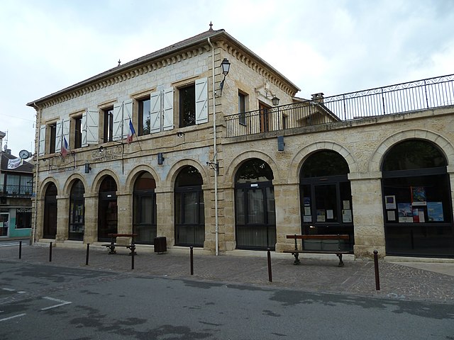
Bélaye
- commune in Lot, France
- Country:
- Postal Code: 46140
- Coordinates: 44° 27' 55" N, 1° 11' 35" E
- GPS tracks (wikiloc): [Link]
- Area: 18.69 sq km
- Population: 230
- Web site: [Link]