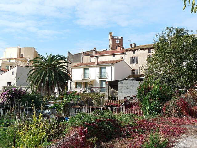
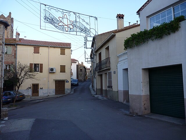
Laroque-des-Albères (Laroque-des-Albères)

- commune in Pyrénées-Orientales, France
- Country:

- Postal Code: 66740
- Coordinates: 42° 31' 23" N, 2° 55' 55" E


- GPS tracks (wikiloc): [Link]
- Area: 20.51 sq km
- Population: 2115
- Web site: http://www.laroque-des-alberes.fr
- Wikipedia en: wiki(en)
- Wikipedia: wiki(fr)
- Wikidata storage: Wikidata: Q8895
- Wikipedia Commons Category: [Link]
- Freebase ID: [/m/027zvyw]
- GeoNames ID: Alt: [3006701]
- SIREN number: [216600932]
- BnF ID: [152710048]
- OSM relation ID: [18475]
- PACTOLS thesaurus ID: [pcrtTKAYS1R6Kg]
- Quora topic ID: [Laroque-des-Albères]
- Gran Enciclopèdia Catalana ID: [0056160]
- INSEE municipality code: 66093
Shares border with regions:
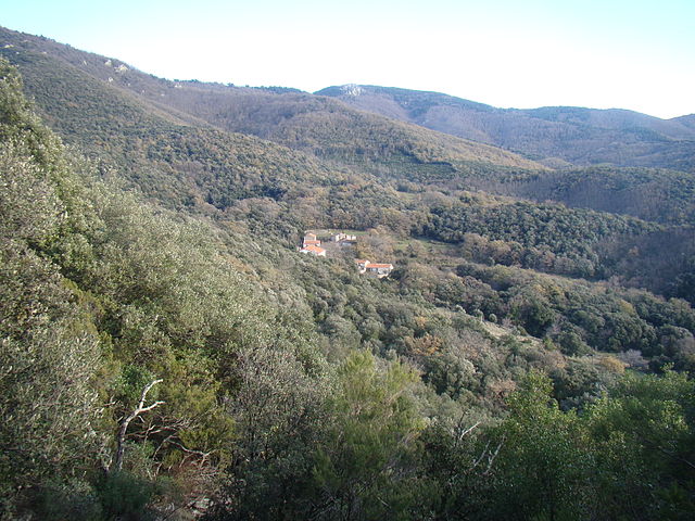
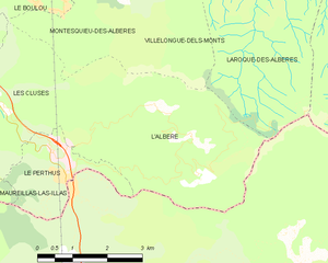
L'Albère
- commune in Pyrénées-Orientales, France
- Country:
- Postal Code: 66480
- Coordinates: 42° 28' 58" N, 2° 53' 40" E
- GPS tracks (wikiloc): [Link]
- AboveSeaLevel: 532 м m
- Area: 17.1 sq km
- Population: 83
- Web site: [Link]
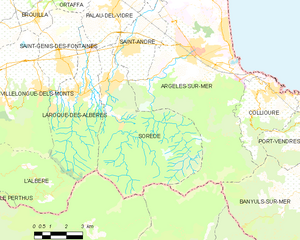
Sorède
- commune in Pyrénées-Orientales, France
- Country:
- Postal Code: 66690
- Coordinates: 42° 31' 50" N, 2° 57' 24" E
- GPS tracks (wikiloc): [Link]
- Area: 34.54 sq km
- Population: 3200
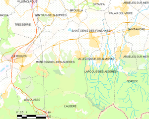
Villelongue-dels-Monts
- commune in Pyrénées-Orientales, France
- Country:
- Postal Code: 66740
- Coordinates: 42° 31' 31" N, 2° 54' 13" E
- GPS tracks (wikiloc): [Link]
- Area: 11.55 sq km
- Population: 1644
- Web site: [Link]


Palau-del-Vidre
- commune in Pyrénées-Orientales, France
- Country:
- Postal Code: 66690
- Coordinates: 42° 34' 22" N, 2° 57' 41" E
- GPS tracks (wikiloc): [Link]
- Area: 10.41 sq km
- Population: 3215
- Web site: [Link]


Saint-Génis-des-Fontaines
- commune in Pyrénées-Orientales, France
- Country:
- Postal Code: 66740
- Coordinates: 42° 32' 30" N, 2° 55' 19" E
- GPS tracks (wikiloc): [Link]
- AboveSeaLevel: 52 м m
- Area: 9.9 sq km
- Population: 2771
- Web site: [Link]