Lavallée (Lavallée)

- commune in Meuse, France
- Country:

- Postal Code: 55260
- Coordinates: 48° 48' 51" N, 5° 20' 38" E


- GPS tracks (wikiloc): [Link]
- Area: 12.58 sq km
- Population: 94
- Wikipedia en: wiki(en)
- Wikipedia: wiki(fr)
- Wikidata storage: Wikidata: Q1159534
- Wikipedia Commons Category: [Link]
- Freebase ID: [/m/03qdrsd]
- SIREN number: [215502824]
- BnF ID: [15264947j]
- INSEE municipality code: 55282
Shares border with regions:

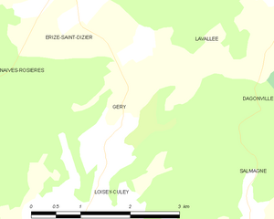
Géry
- commune in Meuse, France
- Country:
- Postal Code: 55000
- Coordinates: 48° 46' 51" N, 5° 17' 41" E
- GPS tracks (wikiloc): [Link]
- Area: 4.8 sq km
- Population: 57
Dagonville
- commune in Meuse, France
- Country:
- Postal Code: 55500
- Coordinates: 48° 47' 30" N, 5° 23' 47" E
- GPS tracks (wikiloc): [Link]
- Area: 13.01 sq km
- Population: 83


Lignières-sur-Aire
- commune in Meuse, France
- Country:
- Postal Code: 55260
- Coordinates: 48° 48' 32" N, 5° 22' 56" E
- GPS tracks (wikiloc): [Link]
- Area: 9.3 sq km
- Population: 52

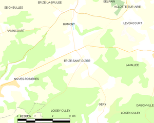
Érize-Saint-Dizier
- commune in Meuse, France
- Country:
- Postal Code: 55000
- Coordinates: 48° 48' 45" N, 5° 17' 3" E
- GPS tracks (wikiloc): [Link]
- Area: 12.49 sq km
- Population: 192


Levoncourt
- commune in Meuse, France
- Country:
- Postal Code: 55260
- Coordinates: 48° 49' 23" N, 5° 21' 5" E
- GPS tracks (wikiloc): [Link]
- Area: 7.8 sq km
- Population: 57


Salmagne
- commune in Meuse, France
- Country:
- Postal Code: 55000
- Coordinates: 48° 45' 8" N, 5° 19' 29" E
- GPS tracks (wikiloc): [Link]
- Area: 16.73 sq km
- Population: 304