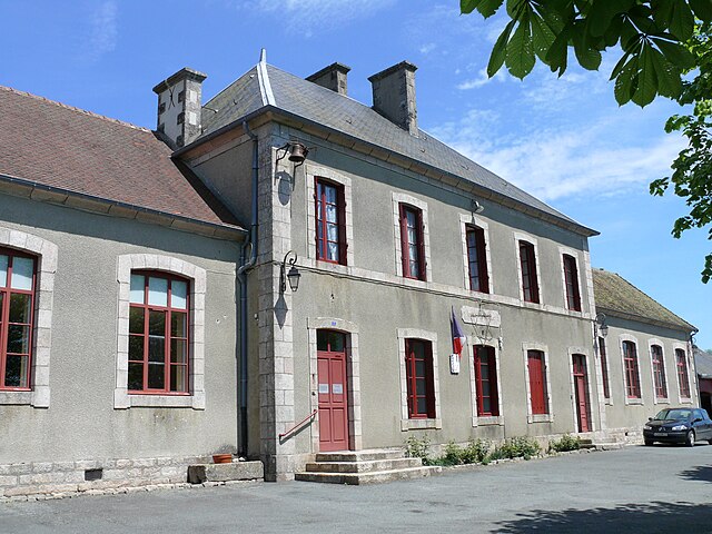
Lavaufranche (Lavaufranche)

- commune in Creuse, France
- Country:

- Postal Code: 23600
- Coordinates: 46° 19' 14" N, 2° 16' 17" E


- GPS tracks (wikiloc): [Link]
- Area: 16.34 sq km
- Population: 249
- Wikipedia en: wiki(en)
- Wikipedia: wiki(fr)
- Wikidata storage: Wikidata: Q1079098
- Wikipedia Commons Category: [Link]
- Freebase ID: [/m/03mfjjl]
- Freebase ID: [/m/03mfjjl]
- GeoNames ID: Alt: [6429205]
- GeoNames ID: Alt: [6429205]
- SIREN number: [212310403]
- SIREN number: [212310403]
- BnF ID: [152514922]
- BnF ID: [152514922]
- INSEE municipality code: 23104
- INSEE municipality code: 23104
Shares border with regions:


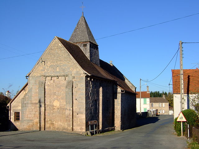
Leyrat
- commune in Creuse, France
- Country:
- Postal Code: 23600
- Coordinates: 46° 21' 43" N, 2° 17' 33" E
- GPS tracks (wikiloc): [Link]
- Area: 18.32 sq km
- Population: 153

Toulx-Sainte-Croix
- commune in Creuse, France
- Country:
- Postal Code: 23600
- Coordinates: 46° 17' 5" N, 2° 12' 49" E
- GPS tracks (wikiloc): [Link]
- Area: 35.05 sq km
- Population: 266
Soumans
- commune in Creuse, France
- Country:
- Postal Code: 23600
- Coordinates: 46° 18' 4" N, 2° 18' 24" E
- GPS tracks (wikiloc): [Link]
- Area: 36.68 sq km
- Population: 624
Bord-Saint-Georges
- commune in Creuse, France
- Country:
- Postal Code: 23230
- Coordinates: 46° 15' 37" N, 2° 17' 56" E
- GPS tracks (wikiloc): [Link]
- Area: 32.5 sq km
- Population: 355

Saint-Silvain-Bas-le-Roc
- commune in Creuse, France
- Country:
- Postal Code: 23600
- Coordinates: 46° 19' 52" N, 2° 13' 39" E
- GPS tracks (wikiloc): [Link]
- Area: 15.32 sq km
- Population: 416