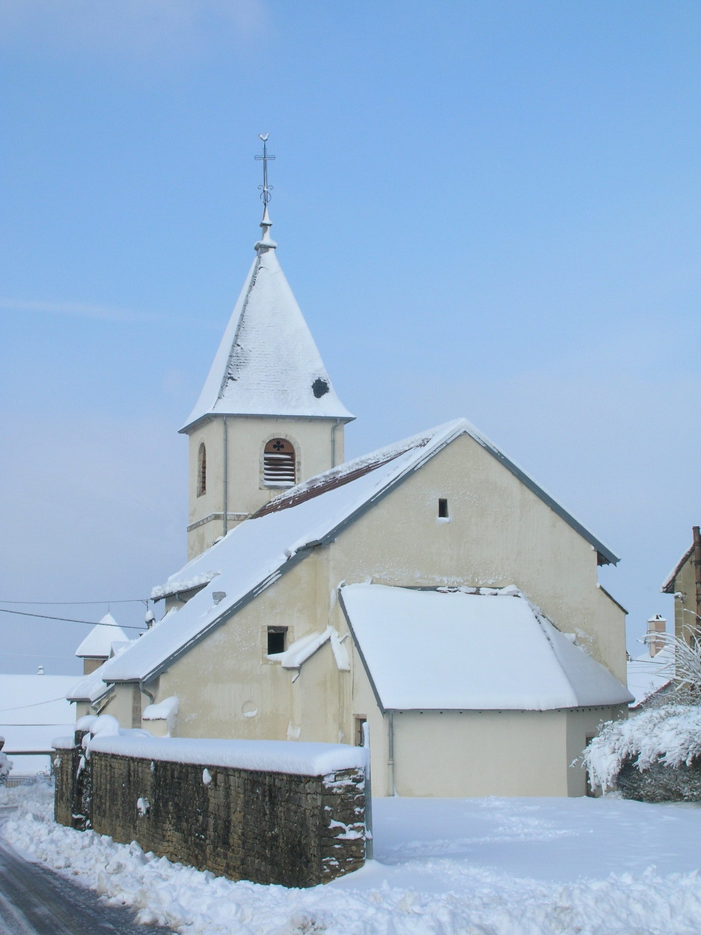
Lavernay (Lavernay)
- commune in Doubs, France
Lavernay is a lesser-known area, which means it could offer unique scenic hiking experiences without the crowds often found in more popular regions. Generally speaking, when exploring a hiking spot, consider the following aspects:
-
Terrain and Trails: Research specific trails in Lavernay. Look for maps and descriptions that detail the difficulty levels, lengths, and types of terrain (e.g., flat, hilly, rocky). This will help you choose a hike that matches your skill level and physical ability.
-
Natural Features: Learn about any notable natural landmarks, such as rivers, lakes, or unique geological formations. These can enhance your hiking experience and offer beautiful spots for breaks or photography.
-
Flora and Fauna: Familiarize yourself with the local wildlife and plant life. Depending on the season, you may encounter various animals or seasonal blooms that can make your hike even more rewarding.
-
Weather Conditions: Always check the weather forecast before you embark on your hike. This will help you dress appropriately and take necessary precautions for safety.
-
Safety and Preparation: Pack essentials such as water, snacks, a first aid kit, a map or GPS, and appropriate gear (e.g., sturdy shoes, rain gear). Inform someone about your hiking plans and estimated return time.
-
Leave No Trace Principles: Ensure you practice good environmental stewardship—take all trash with you, stay on marked trails, and respect wildlife.
If Lavernay has established hiking clubs or local outdoor groups, consider connecting with them for guided hikes and more detailed information about the area's trails. Enjoy your hiking adventure!
- Country:

- Postal Code: 25170
- Coordinates: 47° 14' 47" N, 5° 49' 3" E


- GPS tracks (wikiloc): [Link]
- Area: 7.74 sq km
- Population: 573
- Wikipedia en: wiki(en)
- Wikipedia: wiki(fr)
- Wikidata storage: Wikidata: Q904616
- Wikipedia Commons Category: [Link]
- Freebase ID: [/m/03mgvzq]
- Freebase ID: [/m/03mgvzq]
- GeoNames ID: Alt: [6429846]
- GeoNames ID: Alt: [6429846]
- SIREN number: [212503320]
- SIREN number: [212503320]
- BnF ID: [15252558d]
- BnF ID: [15252558d]
- INSEE municipality code: 25332
- INSEE municipality code: 25332
Shares border with regions:


Corcelles-Ferrières
- commune in Doubs, France
Corcelles-Ferrières is a charming village located in the Jura region of France, known for its beautiful landscapes and outdoor activities, including hiking. The area is characterized by its picturesque green hills, forests, and a network of trails that provide excellent opportunities for both casual walkers and experienced hikers....
- Country:

- Postal Code: 25410
- Coordinates: 47° 13' 38" N, 5° 48' 35" E


- GPS tracks (wikiloc): [Link]
- AboveSeaLevel: 220 м m
- Area: 2.25 sq km
- Population: 198


Corcondray
- commune in Doubs, France
Corcondray isn't a well-known hiking destination, and there might be some confusion about the name. It’s possible you meant a different location, as this name doesn’t correspond to any widely recognized hiking area. However, if you are referring to a specific region or are looking for hiking in a related area, I’d be happy to help!...
- Country:

- Postal Code: 25410
- Coordinates: 47° 13' 51" N, 5° 49' 32" E


- GPS tracks (wikiloc): [Link]
- Area: 5.38 sq km
- Population: 144


Franey
- commune in Doubs, France
Franey, located in the Cape Breton Highlands National Park of Nova Scotia, is known for its stunning views and diverse terrain. The Franey Trail is a popular hiking destination for both novice and experienced hikers. Here are some key details about hiking in Franey:...
- Country:

- Postal Code: 25170
- Coordinates: 47° 15' 42" N, 5° 49' 4" E


- GPS tracks (wikiloc): [Link]
- Area: 3.38 sq km
- Population: 283


Burgille
- commune in Doubs, France
Burgille might not be a widely recognized hiking destination, so if you’re referring to a specific region or local area that might have hiking opportunities, please clarify the location....
- Country:

- Postal Code: 25170
- Coordinates: 47° 16' 4" N, 5° 46' 31" E


- GPS tracks (wikiloc): [Link]
- Area: 9.28 sq km
- Population: 548


Lantenne-Vertière
- commune in Doubs, France
Lantenne-Vertière is a commune in the Jura department in eastern France. While it may not be as famous as larger hiking destinations, the area does offer opportunities for outdoor enthusiasts looking for a peaceful hiking experience amidst natural beauty. Here are some points to consider when planning your hike in Lantenne-Vertière:...
- Country:

- Postal Code: 25170
- Coordinates: 47° 13' 58" N, 5° 46' 43" E


- GPS tracks (wikiloc): [Link]
- Area: 9.88 sq km
- Population: 536


Mazerolles-le-Salin
- commune in Doubs, France
Mazerolles-le-Salin is a small commune in the eastern part of France, situated in the Jura department. It is known for its beautiful natural landscapes and scenic routes, making it a charming destination for hiking enthusiasts....
- Country:

- Postal Code: 25170
- Coordinates: 47° 14' 26" N, 5° 52' 9" E


- GPS tracks (wikiloc): [Link]
- Area: 4.2 sq km
- Population: 208


Villers-Buzon
- commune in Doubs, France
Villers-Buzon is a small commune located in the Doubs department of the Bourgogne-Franche-Comté region in France. It is surrounded by beautiful natural landscapes that provide excellent hiking opportunities for various skill levels. Here are some key points regarding hiking in Villers-Buzon:...
- Country:

- Postal Code: 25170
- Coordinates: 47° 13' 39" N, 5° 51' 6" E


- GPS tracks (wikiloc): [Link]
- Area: 3.19 sq km
- Population: 250


Placey
- commune in Doubs, France
It seems like there might be a typo or misunderstanding regarding "Placey." If you meant a specific location such as "Placer County" in California or a different hiking destination, please let me know! However, if you were asking about a place I might not be familiar with, I can still offer general tips for hiking....
- Country:

- Postal Code: 25170
- Coordinates: 47° 15' 36" N, 5° 50' 48" E


- GPS tracks (wikiloc): [Link]
- Area: 2.57 sq km
- Population: 191

