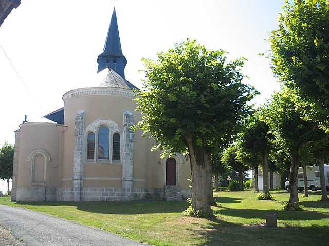
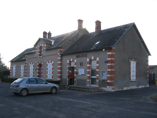
Lazenay (Lazenay)

- commune in Cher, France
- Country:

- Postal Code: 18120
- Coordinates: 47° 4' 16" N, 2° 3' 38" E


- GPS tracks (wikiloc): [Link]
- Area: 30.74 sq km
- Population: 345
- Wikipedia en: wiki(en)
- Wikipedia: wiki(fr)
- Wikidata storage: Wikidata: Q1423654
- Wikipedia Commons Category: [Link]
- Freebase ID: [/m/03mfd2r]
- GeoNames ID: Alt: [6614486]
- SIREN number: [211801246]
- BnF ID: [15249470g]
- INSEE municipality code: 18124
Shares border with regions:


Diou
- commune in Indre, France
- Country:
- Postal Code: 36260
- Coordinates: 47° 2' 46" N, 2° 1' 35" E
- GPS tracks (wikiloc): [Link]
- Area: 16.39 sq km
- Population: 245


Reuilly
- commune in Indre, France
- Country:
- Postal Code: 36260
- Coordinates: 47° 5' 2" N, 2° 2' 39" E
- GPS tracks (wikiloc): [Link]
- Area: 25.8 sq km
- Population: 2037
- Web site: [Link]


Lury-sur-Arnon
- commune in Cher, France
- Country:
- Postal Code: 18120
- Coordinates: 47° 7' 39" N, 2° 3' 25" E
- GPS tracks (wikiloc): [Link]
- Area: 13.84 sq km
- Population: 682
- Web site: [Link]


Cerbois
- commune in Cher, France
- Country:
- Postal Code: 18120
- Coordinates: 47° 6' 22" N, 2° 6' 9" E
- GPS tracks (wikiloc): [Link]
- Area: 18.45 sq km
- Population: 432


Chéry
- commune in Cher, France
- Country:
- Postal Code: 18120
- Coordinates: 47° 7' 13" N, 2° 2' 47" E
- GPS tracks (wikiloc): [Link]
- Area: 13.54 sq km
- Population: 211

Poisieux
- commune in Cher, France
- Country:
- Postal Code: 18290
- Coordinates: 47° 1' 45" N, 2° 5' 53" E
- GPS tracks (wikiloc): [Link]
- AboveSeaLevel: 145 м m
- Area: 10.3 sq km
- Population: 221


Plou
- commune in Cher, France
- Country:
- Postal Code: 18290
- Coordinates: 47° 0' 52" N, 2° 9' 17" E
- GPS tracks (wikiloc): [Link]
- Area: 33.21 sq km
- Population: 528

Limeux
- commune in Cher, France
- Country:
- Postal Code: 18120
- Coordinates: 47° 4' 28" N, 2° 6' 31" E
- GPS tracks (wikiloc): [Link]
- Area: 13.17 sq km
- Population: 159
Migny
- commune in Indre, France
- Country:
- Postal Code: 36260
- Coordinates: 47° 1' 30" N, 2° 4' 0" E
- GPS tracks (wikiloc): [Link]
- Area: 13.35 sq km
- Population: 126