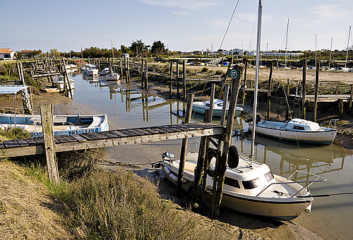
Le Bois-Plage-en-Ré (Le Bois-Plage-en-Ré)

- commune in Charente-Maritime, France
- Country:

- Postal Code: 17580
- Coordinates: 46° 11' 11" N, 1° 23' 35" E


- GPS tracks (wikiloc): [Link]
- Area: 12.18 sq km
- Population: 2318
- Web site: http://www.leboisplage.com
- Wikipedia en: wiki(en)
- Wikipedia: wiki(fr)
- Wikidata storage: Wikidata: Q733760
- Wikipedia Commons Category: [Link]
- Freebase ID: [/m/03mcg3n]
- GeoNames ID: Alt: [3005218]
- SIREN number: [211700513]
- BnF ID: [15248913s]
- VIAF ID: Alt: [146516868]
- PACTOLS thesaurus ID: [pcrtwFlwoGZDFW]
- WOEID: [12664690]
- SUDOC authorities ID: [034160094]
- INSEE municipality code: 17051
Shares border with regions:


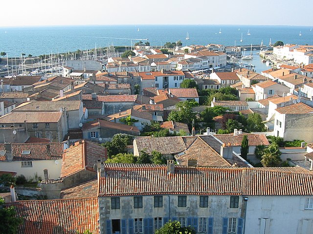
La Flotte
- commune in Charente-Maritime, France
- Country:
- Postal Code: 17630
- Coordinates: 46° 11' 13" N, 1° 19' 32" E
- GPS tracks (wikiloc): [Link]
- Area: 12.32 sq km
- Population: 2801
- Web site: [Link]

La Couarde-sur-Mer
- commune in Charente-Maritime, France
- Country:
- Postal Code: 17670
- Coordinates: 46° 11' 41" N, 1° 25' 31" E
- GPS tracks (wikiloc): [Link]
- Area: 8.8 sq km
- Population: 1199
- Web site: [Link]

Saint-Martin-de-Ré
- commune in Charente-Maritime, France
- Country:
- Postal Code: 17410
- Coordinates: 46° 12' 11" N, 1° 22' 2" E
- GPS tracks (wikiloc): [Link]
- Area: 4.7 sq km
- Population: 2346
- Web site: [Link]
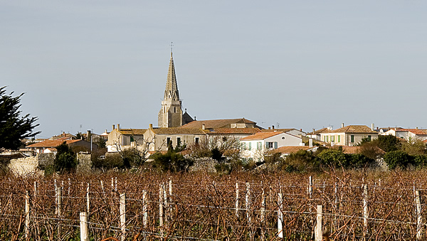
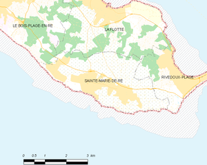
Sainte-Marie-de-Ré
- commune in Charente-Maritime, France
- Country:
- Postal Code: 17740
- Coordinates: 46° 9' 9" N, 1° 18' 46" E
- GPS tracks (wikiloc): [Link]
- Area: 9.84 sq km
- Population: 3379
- Web site: [Link]