Le Boupère (Le Boupère)

- commune in Vendée, France
- Country:

- Postal Code: 85510
- Coordinates: 46° 47' 41" N, 0° 55' 35" E


- GPS tracks (wikiloc): [Link]
- Area: 43.48 sq km
- Population: 3108
- Web site: http://www.leboupere.fr/
- Wikipedia en: wiki(en)
- Wikipedia: wiki(fr)
- Wikidata storage: Wikidata: Q1066482
- Wikipedia Commons Category: [Link]
- Freebase ID: [/m/03qlt86]
- SIREN number: [218500312]
- BnF ID: [152781612]
- INSEE municipality code: 85031
Shares border with regions:


Monsireigne
- commune in Vendée, France
- Country:
- Postal Code: 85110
- Coordinates: 46° 44' 42" N, 0° 56' 53" E
- GPS tracks (wikiloc): [Link]
- Area: 20.5 sq km
- Population: 972

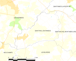
Saint-Paul-en-Pareds
- commune in Vendée, France
- Country:
- Postal Code: 85500
- Coordinates: 46° 49' 23" N, 0° 59' 6" E
- GPS tracks (wikiloc): [Link]
- Area: 12.32 sq km
- Population: 1337
- Web site: [Link]


Saint-Michel-Mont-Mercure
- former commune in Vendée, France
- Country:
- Postal Code: 85700
- Coordinates: 46° 49' 49" N, 0° 52' 59" E
- GPS tracks (wikiloc): [Link]
- Area: 25.76 sq km
- Population: 1976

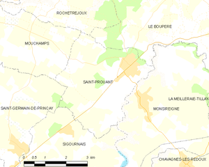
Saint-Prouant
- commune in Vendée, France
- Country:
- Postal Code: 85110
- Coordinates: 46° 45' 30" N, 0° 57' 25" E
- GPS tracks (wikiloc): [Link]
- Area: 12.86 sq km
- Population: 1552
- Web site: [Link]


La Meilleraie-Tillay
- commune in Vendée, France
- Country:
- Postal Code: 85700
- Coordinates: 46° 44' 28" N, 0° 50' 47" E
- GPS tracks (wikiloc): [Link]
- Area: 20.13 sq km
- Population: 1539
- Web site: [Link]

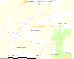
Rochetrejoux
- commune in Vendée, France
- Country:
- Postal Code: 85510
- Coordinates: 46° 47' 22" N, 0° 59' 45" E
- GPS tracks (wikiloc): [Link]
- Area: 10.92 sq km
- Population: 929
- Web site: [Link]

Mouchamps
- commune in Vendée, France
- Country:
- Postal Code: 85640
- Coordinates: 46° 46' 50" N, 1° 3' 47" E
- GPS tracks (wikiloc): [Link]
- Area: 55 sq km
- Population: 2843
- Web site: [Link]


Pouzauges
- commune in Vendée, France
- Country:
- Postal Code: 85700
- Coordinates: 46° 46' 56" N, 0° 50' 14" E
- GPS tracks (wikiloc): [Link]
- Area: 36.65 sq km
- Population: 5525
- Web site: [Link]