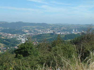
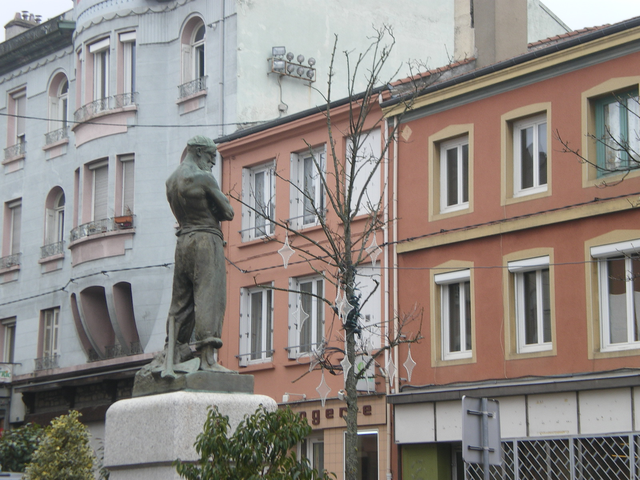
Le Chambon-Feugerolles (Le Chambon-Feugerolles)

- commune in Loire, France
- Country:

- Postal Code: 42500
- Coordinates: 45° 23' 46" N, 4° 19' 30" E


- GPS tracks (wikiloc): [Link]
- Area: 17.51 sq km
- Population: 12656
- Web site: http://www.lechambon.fr
- Wikipedia en: wiki(en)
- Wikipedia: wiki(fr)
- Wikidata storage: Wikidata: Q1388495
- Wikipedia Commons Category: [Link]
- Freebase ID: [/m/08x59c]
- Freebase ID: [/m/08x59c]
- GeoNames ID: Alt: [6456892]
- GeoNames ID: Alt: [6456892]
- SIREN number: [214200446]
- SIREN number: [214200446]
- BnF ID: [15259614r]
- BnF ID: [15259614r]
- Library of Congress authority ID: Alt: [n95075465]
- Library of Congress authority ID: Alt: [n95075465]
- Encyclopædia Britannica Online ID: [place/Le-Chambon-Feugerolles]
- Encyclopædia Britannica Online ID: [place/Le-Chambon-Feugerolles]
- Gran Enciclopèdia Catalana ID: [0017313]
- Gran Enciclopèdia Catalana ID: [0017313]
- INSEE municipality code: 42044
- INSEE municipality code: 42044
Shares border with regions:
Saint-Romain-les-Atheux
- commune in Loire, France
- Country:
- Postal Code: 42660
- Coordinates: 45° 21' 22" N, 4° 22' 34" E
- GPS tracks (wikiloc): [Link]
- Area: 14.68 sq km
- Population: 977


Roche-la-Molière
- commune in Loire, France
- Country:
- Postal Code: 42230
- Coordinates: 45° 26' 2" N, 4° 19' 25" E
- GPS tracks (wikiloc): [Link]
- Area: 17.44 sq km
- Population: 9868
- Web site: [Link]

Firminy
- commune in Loire, France
- Country:
- Postal Code: 42700
- Coordinates: 45° 23' 17" N, 4° 17' 14" E
- GPS tracks (wikiloc): [Link]
- Area: 10.45 sq km
- Population: 16839
- Web site: [Link]

La Ricamarie
- commune in Loire, France
- Country:
- Postal Code: 42150
- Coordinates: 45° 24' 11" N, 4° 21' 52" E
- GPS tracks (wikiloc): [Link]
- Area: 6.95 sq km
- Population: 7865
- Web site: [Link]


Saint-Just-Malmont
- commune in Haute-Loire, France
- Country:
- Postal Code: 43240
- Coordinates: 45° 20' 22" N, 4° 18' 46" E
- GPS tracks (wikiloc): [Link]
- Area: 23.28 sq km
- Population: 4147
- Web site: [Link]