.jpg)
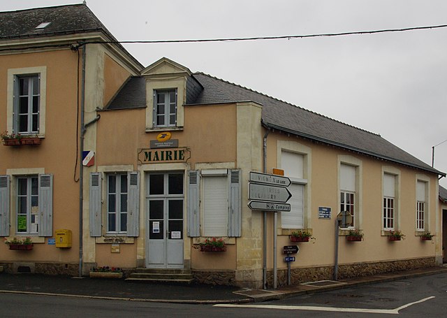
Le Lude (Le Lude)

- commune in Sarthe, France
- Country:

- Postal Code: 72800
- Coordinates: 47° 38' 42" N, 0° 9' 11" E


- GPS tracks (wikiloc): [Link]
- Area: 45.99 sq km
- Population: 3876
- Web site: http://www.ville-lelude.fr
- Wikipedia en: wiki(en)
- Wikipedia: wiki(fr)
- Wikidata storage: Wikidata: Q627872
- Wikipedia Commons Category: [Link]
- Freebase ID: [/m/03qk_g5]
- GeoNames ID: Alt: [3003647]
- SIREN number: [217201763]
- BnF ID: [15273731k]
- VIAF ID: Alt: [124513428]
- GND ID: Alt: [7648327-7]
- Library of Congress authority ID: Alt: [n98003310]
- WOEID: [603371]
- INSEE municipality code: 72176
Shares border with regions:


Broc
- former commune in Maine-et-Loire, France
- Country:
- Postal Code: 49490
- Coordinates: 47° 34' 46" N, 0° 9' 59" E
- GPS tracks (wikiloc): [Link]
- Area: 21.23 sq km
- Population: 318


Aubigné-Racan
- commune in Sarthe, France
- Country:
- Postal Code: 72800
- Coordinates: 47° 41' 27" N, 0° 16' 4" E
- GPS tracks (wikiloc): [Link]
- Area: 32.03 sq km
- Population: 2159
- Web site: [Link]


La Chapelle-aux-Choux
- commune in Sarthe, France
- Country:
- Postal Code: 72800
- Coordinates: 47° 37' 56" N, 0° 13' 53" E
- GPS tracks (wikiloc): [Link]
- Area: 14.43 sq km
- Population: 269


Savigné-sous-le-Lude
- commune in Sarthe, France
- Country:
- Postal Code: 72800
- Coordinates: 47° 37' 8" N, 0° 3' 28" E
- GPS tracks (wikiloc): [Link]
- Area: 33.84 sq km
- Population: 430


Coulongé
- commune in Sarthe, France
- Country:
- Postal Code: 72800
- Coordinates: 47° 41' 22" N, 0° 12' 8" E
- GPS tracks (wikiloc): [Link]
- Area: 15.05 sq km
- Population: 536

Thorée-les-Pins
- commune in Sarthe, France
- Country:
- Postal Code: 72800
- Coordinates: 47° 41' 12" N, 0° 2' 31" E
- GPS tracks (wikiloc): [Link]
- Area: 28.18 sq km
- Population: 719


Luché-Pringé
- commune in Sarthe, France
- Country:
- Postal Code: 72800
- Coordinates: 47° 42' 14" N, 0° 4' 33" E
- GPS tracks (wikiloc): [Link]
- AboveSeaLevel: 34 м m
- Area: 49.39 sq km
- Population: 1575
- Web site: [Link]