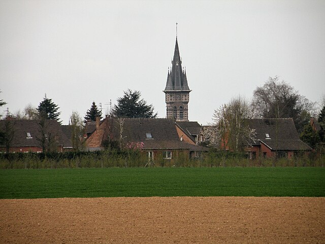
Le Maisnil (Le Maisnil)

- commune in Nord, France
- Country:

- Postal Code: 59134
- Coordinates: 50° 36' 54" N, 2° 53' 7" E


- GPS tracks (wikiloc): [Link]
- Area: 3.51 sq km
- Population: 643
- Web site: http://www.lemaisnil.fr/
- Wikipedia en: wiki(en)
- Wikipedia: wiki(fr)
- Wikidata storage: Wikidata: Q1162906
- Wikipedia Commons Category: [Link]
- Freebase ID: [/m/03h2yff]
- Freebase ID: [/m/03h2yff]
- GeoNames ID: Alt: [6456235]
- GeoNames ID: Alt: [6456235]
- SIREN number: [215903717]
- SIREN number: [215903717]
- BnF ID: [152669440]
- BnF ID: [152669440]
- VIAF ID: Alt: [248745219]
- VIAF ID: Alt: [248745219]
- INSEE municipality code: 59371
- INSEE municipality code: 59371
Shares border with regions:


Fleurbaix
- commune in Pas-de-Calais, France
- Country:
- Postal Code: 62840
- Coordinates: 50° 39' 8" N, 2° 49' 58" E
- GPS tracks (wikiloc): [Link]
- Area: 12.86 sq km
- Population: 2653
- Web site: [Link]


Beaucamps-Ligny
- commune in Nord, France
- Country:
- Postal Code: 59134
- Coordinates: 50° 36' 17" N, 2° 55' 0" E
- GPS tracks (wikiloc): [Link]
- Area: 5.04 sq km
- Population: 857
- Web site: [Link]


Bois-Grenier
- commune in Nord, France
- Country:
- Postal Code: 59280
- Coordinates: 50° 38' 56" N, 2° 52' 27" E
- GPS tracks (wikiloc): [Link]
- Area: 7.25 sq km
- Population: 1589
- Web site: [Link]

Fournes-en-Weppes
- commune in Nord, France
- Country:
- Postal Code: 59134
- Coordinates: 50° 35' 7" N, 2° 53' 21" E
- GPS tracks (wikiloc): [Link]
- Area: 8.22 sq km
- Population: 2183
- Web site: [Link]


Fromelles
- commune in Nord, France
- Country:
- Postal Code: 59249
- Coordinates: 50° 36' 23" N, 2° 51' 18" E
- GPS tracks (wikiloc): [Link]
- Area: 8.54 sq km
- Population: 906
- Web site: [Link]


Radinghem-en-Weppes
- commune in Nord, France
- Country:
- Postal Code: 59320
- Coordinates: 50° 37' 29" N, 2° 54' 18" E
- GPS tracks (wikiloc): [Link]
- Area: 6.82 sq km
- Population: 1368