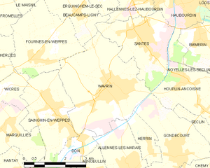
Beaucamps-Ligny (Beaucamps-Ligny)

- commune in Nord, France
- Country:

- Postal Code: 59134
- Coordinates: 50° 36' 17" N, 2° 55' 0" E


- GPS tracks (wikiloc): [Link]
- Area: 5.04 sq km
- Population: 857
- Web site: http://www.beaucamps-ligny.fr/
- Wikipedia en: wiki(en)
- Wikipedia: wiki(fr)
- Wikidata storage: Wikidata: Q1063824
- Wikipedia Commons Category: [Link]
- Freebase ID: [/m/03h2c2l]
- Freebase ID: [/m/03h2c2l]
- GeoNames ID: Alt: [6450052]
- GeoNames ID: Alt: [6450052]
- SIREN number: [215900564]
- SIREN number: [215900564]
- BnF ID: [152666325]
- BnF ID: [152666325]
- Library of Congress authority ID: Alt: [n96111241]
- Library of Congress authority ID: Alt: [n96111241]
- PACTOLS thesaurus ID: [pcrtg9Sza8HB2w]
- PACTOLS thesaurus ID: [pcrtg9Sza8HB2w]
- WOEID: [578581]
- WOEID: [578581]
- INSEE municipality code: 59056
- INSEE municipality code: 59056
Shares border with regions:


Le Maisnil
- commune in Nord, France
- Country:
- Postal Code: 59134
- Coordinates: 50° 36' 54" N, 2° 53' 7" E
- GPS tracks (wikiloc): [Link]
- Area: 3.51 sq km
- Population: 643
- Web site: [Link]
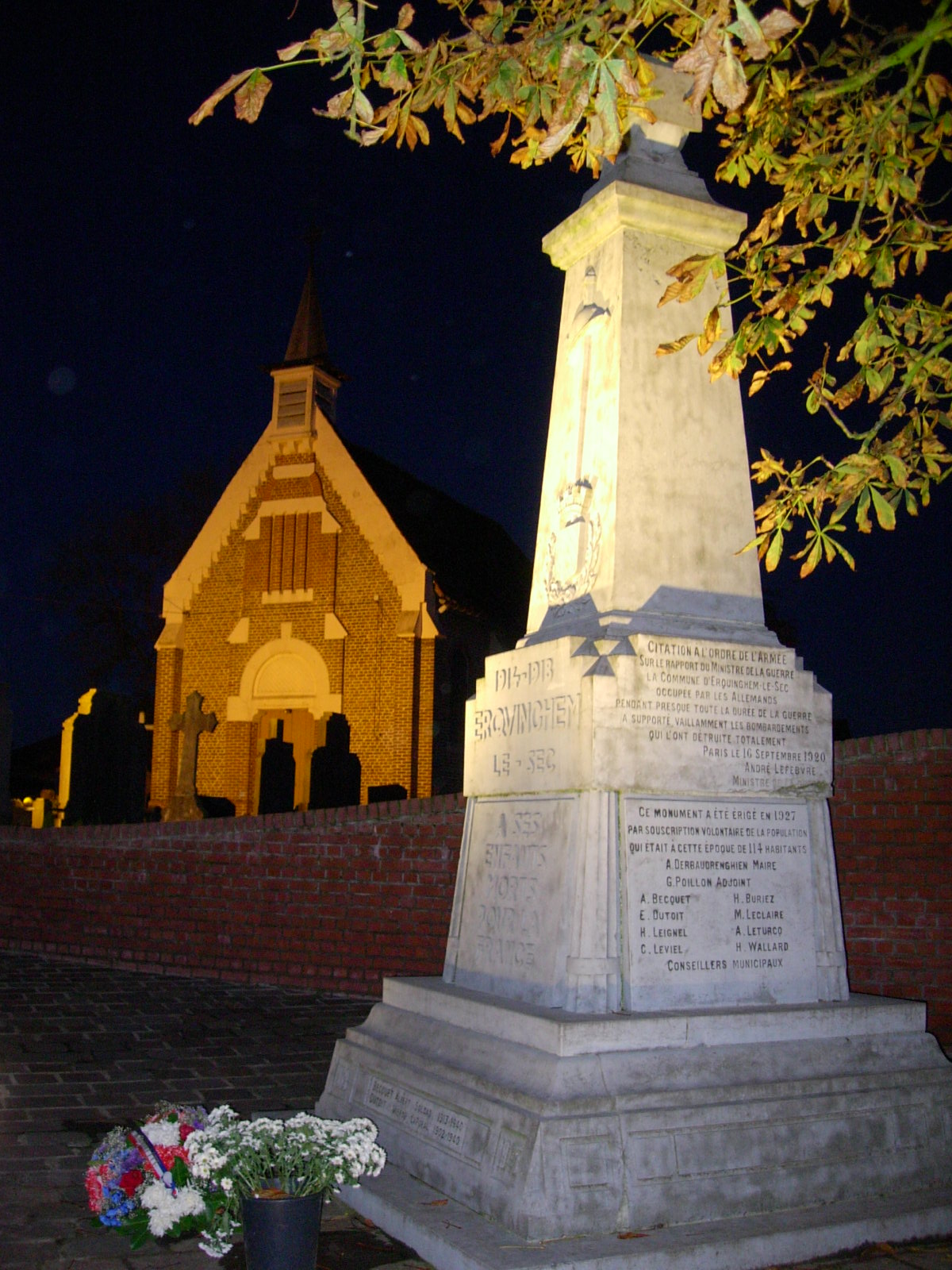

Erquinghem-le-Sec
- commune in Nord, France
- Country:
- Postal Code: 59320
- Coordinates: 50° 36' 47" N, 2° 55' 54" E
- GPS tracks (wikiloc): [Link]
- Area: 1.75 sq km
- Population: 580
- Web site: [Link]

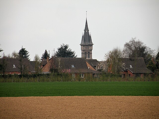
Wavrin
- commune in Nord, France
- Country:
- Postal Code: 59136
- Coordinates: 50° 34' 26" N, 2° 56' 20" E
- GPS tracks (wikiloc): [Link]
- Area: 13.55 sq km
- Population: 7656
- Web site: [Link]


Escobecques
- commune in Nord, France
- Country:
- Postal Code: 59320
- Coordinates: 50° 37' 17" N, 2° 55' 49" E
- GPS tracks (wikiloc): [Link]
- Area: 1.85 sq km
- Population: 300

Fournes-en-Weppes
- commune in Nord, France
- Country:
- Postal Code: 59134
- Coordinates: 50° 35' 7" N, 2° 53' 21" E
- GPS tracks (wikiloc): [Link]
- Area: 8.22 sq km
- Population: 2183
- Web site: [Link]

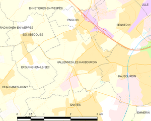
Hallennes-lez-Haubourdin
- commune in Nord, France
- Country:
- Postal Code: 59320
- Coordinates: 50° 36' 48" N, 2° 57' 34" E
- GPS tracks (wikiloc): [Link]
- AboveSeaLevel: 18 м m
- Area: 4.35 sq km
- Population: 4144
- Web site: [Link]


Santes
- commune in Nord, France
- Country:
- Postal Code: 59211
- Coordinates: 50° 35' 36" N, 2° 57' 44" E
- GPS tracks (wikiloc): [Link]
- Area: 7.57 sq km
- Population: 5811
- Web site: [Link]


Radinghem-en-Weppes
- commune in Nord, France
- Country:
- Postal Code: 59320
- Coordinates: 50° 37' 29" N, 2° 54' 18" E
- GPS tracks (wikiloc): [Link]
- Area: 6.82 sq km
- Population: 1368