
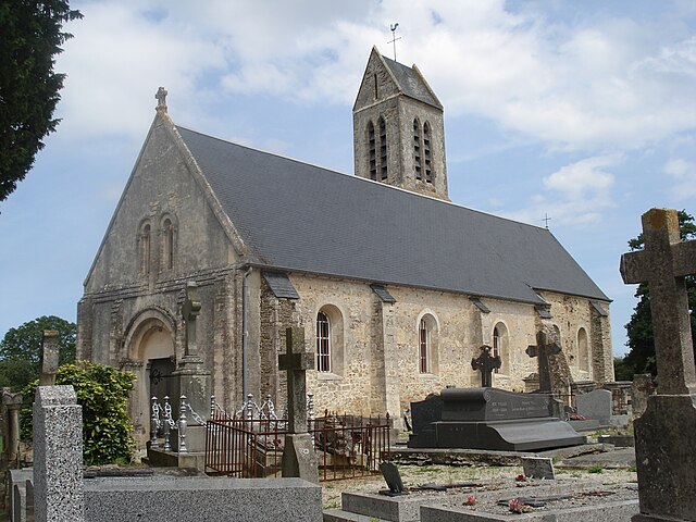
Le Molay-Littry (Le Molay-Littry)

- commune in Calvados, France
- Country:

- Postal Code: 14330
- Coordinates: 49° 14' 33" N, 0° 52' 23" E


- GPS tracks (wikiloc): [Link]
- Area: 27.12 sq km
- Population: 3053
- Web site: http://ville-molay-littry.fr
- Wikipedia en: wiki(en)
- Wikipedia: wiki(fr)
- Wikidata storage: Wikidata: Q537535
- Wikipedia Commons Category: [Link]
- Freebase ID: [/m/030f1l]
- Freebase ID: [/m/030f1l]
- GeoNames ID: Alt: [3003316]
- GeoNames ID: Alt: [3003316]
- SIREN number: [211403704]
- SIREN number: [211403704]
- BnF ID: [15247784h]
- BnF ID: [15247784h]
- VIAF ID: Alt: [132504149]
- VIAF ID: Alt: [132504149]
- Library of Congress authority ID: Alt: [n78061825]
- Library of Congress authority ID: Alt: [n78061825]
- INSEE municipality code: 14370
- INSEE municipality code: 14370
Shares border with regions:


Le Tronquay
- commune in Calvados, France
- Country:
- Postal Code: 14490
- Coordinates: 49° 13' 41" N, 0° 49' 25" E
- GPS tracks (wikiloc): [Link]
- Area: 13.07 sq km
- Population: 771


Tournières
- commune in Calvados, France
- Country:
- Postal Code: 14330
- Coordinates: 49° 14' 0" N, 0° 55' 48" E
- GPS tracks (wikiloc): [Link]
- Area: 3.41 sq km
- Population: 153
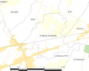
Le Breuil-en-Bessin
- commune in Calvados, France
- Country:
- Postal Code: 14330
- Coordinates: 49° 15' 18" N, 0° 51' 32" E
- GPS tracks (wikiloc): [Link]
- Area: 4.37 sq km
- Population: 424

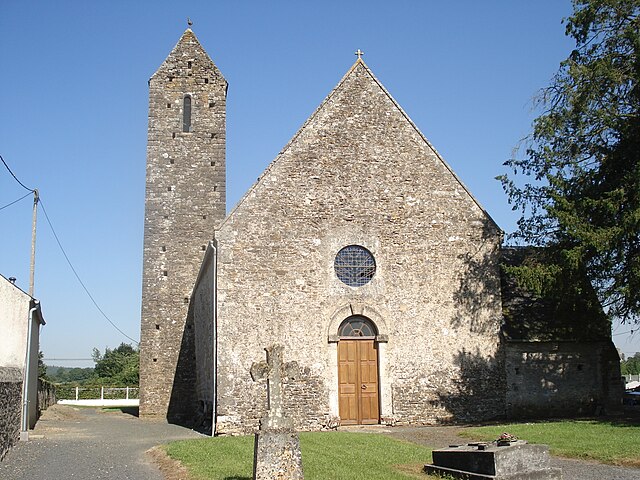
Cerisy-la-Forêt
- commune in Manche, France
- Country:
- Postal Code: 50680
- Coordinates: 49° 11' 42" N, 0° 56' 12" E
- GPS tracks (wikiloc): [Link]
- Area: 23.81 sq km
- Population: 979


Saon
- commune in Calvados, France
- Country:
- Postal Code: 14330
- Coordinates: 49° 16' 13" N, 0° 51' 29" E
- GPS tracks (wikiloc): [Link]
- Area: 5.24 sq km
- Population: 234


Saonnet
- commune in Calvados, France
- Country:
- Postal Code: 14330
- Coordinates: 49° 16' 23" N, 0° 52' 45" E
- GPS tracks (wikiloc): [Link]
- Area: 5.34 sq km
- Population: 292

Saint-Martin-de-Blagny
- commune in Calvados, France
- Country:
- Postal Code: 14710
- Coordinates: 49° 15' 5" N, 0° 56' 52" E
- GPS tracks (wikiloc): [Link]
- Area: 8.89 sq km
- Population: 132


Crouay
- commune in Calvados, France
- Country:
- Postal Code: 14400
- Coordinates: 49° 16' 2" N, 0° 48' 26" E
- GPS tracks (wikiloc): [Link]
- Area: 7.73 sq km
- Population: 532
- Web site: [Link]


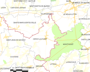
Montfiquet
- commune in Calvados, France
- Country:
- Postal Code: 14490
- Coordinates: 49° 10' 20" N, 0° 53' 4" E
- GPS tracks (wikiloc): [Link]
- Area: 19.54 sq km
- Population: 102