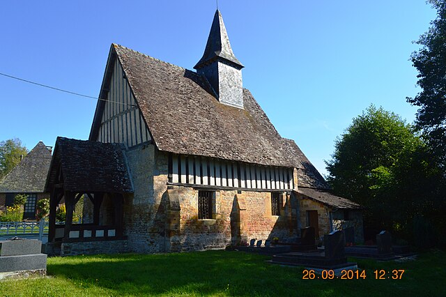
Le Renouard (Le Renouard)

- commune in Orne, France
- Country:

- Postal Code: 61120
- Coordinates: 48° 55' 16" N, 0° 6' 4" E


- GPS tracks (wikiloc): [Link]
- Area: 14.48 sq km
- Population: 193
- Wikipedia en: wiki(en)
- Wikipedia: wiki(fr)
- Wikidata storage: Wikidata: Q748405
- Wikipedia Commons Category: [Link]
- Freebase ID: [/m/03qgr30]
- Freebase ID: [/m/03qgr30]
- GeoNames ID: Alt: [6456315]
- GeoNames ID: Alt: [6456315]
- SIREN number: [216103465]
- SIREN number: [216103465]
- BnF ID: [152682765]
- BnF ID: [152682765]
- INSEE municipality code: 61346
- INSEE municipality code: 61346
Shares border with regions:


L'Oudon
- former commune in Calvados, France
- Country:
- Postal Code: 14170
- Coordinates: 48° 58' 4" N, 0° 4' 28" E
- GPS tracks (wikiloc): [Link]
- AboveSeaLevel: 80 м m
- Area: 54.84 sq km
- Population: 1574
- Web site: [Link]


Crouttes
- commune in Orne, France
- Country:
- Postal Code: 61120
- Coordinates: 48° 55' 25" N, 0° 8' 19" E
- GPS tracks (wikiloc): [Link]
- Area: 13.47 sq km
- Population: 315


Saint-Gervais-des-Sablons
- commune in Orne, France
- Country:
- Postal Code: 61160
- Coordinates: 48° 54' 10" N, 0° 4' 36" E
- GPS tracks (wikiloc): [Link]
- Area: 8.8 sq km
- Population: 69


Écorches
- commune in Orne, France
- Country:
- Postal Code: 61160
- Coordinates: 48° 52' 1" N, 0° 5' 34" E
- GPS tracks (wikiloc): [Link]
- Area: 9.71 sq km
- Population: 87


Les Champeaux
- commune in Orne, France
- Country:
- Postal Code: 61120
- Coordinates: 48° 53' 35" N, 0° 7' 58" E
- GPS tracks (wikiloc): [Link]
- Area: 9.65 sq km
- Population: 121

Les Autels-Saint-Bazile
- former commune in Calvados, France
- Country:
- Postal Code: 14140
- Coordinates: 48° 56' 26" N, 0° 4' 59" E
- GPS tracks (wikiloc): [Link]
- Area: 5.53 sq km
- Population: 50