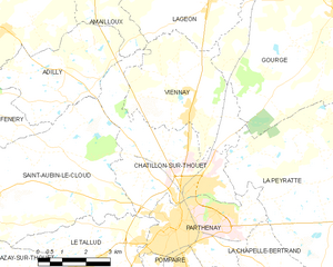
Le Tallud (Le Tallud)

- commune in Deux-Sèvres, France
- Country:

- Postal Code: 79200
- Coordinates: 46° 37' 51" N, 0° 17' 48" E


- GPS tracks (wikiloc): [Link]
- Area: 19.22 sq km
- Population: 2043
- Wikipedia en: wiki(en)
- Wikipedia: wiki(fr)
- Wikidata storage: Wikidata: Q1418929
- Wikipedia Commons Category: [Link]
- Freebase ID: [/m/03mg4lr]
- GeoNames ID: Alt: [6456520]
- SIREN number: [217903228]
- BnF ID: [15276453s]
- INSEE municipality code: 79322
Shares border with regions:

Châtillon-sur-Thouet
- commune in Deux-Sèvres, France
- Country:
- Postal Code: 79200
- Coordinates: 46° 39' 40" N, 0° 14' 3" E
- GPS tracks (wikiloc): [Link]
- Area: 16.45 sq km
- Population: 2701
- Web site: [Link]

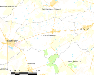
Azay-sur-Thouet
- commune in Deux-Sèvres, France
- Country:
- Postal Code: 79130
- Coordinates: 46° 37' 30" N, 0° 21' 1" E
- GPS tracks (wikiloc): [Link]
- Area: 20.2 sq km
- Population: 1155
Saint-Aubin-le-Cloud
- commune in Deux-Sèvres, France
- Country:
- Postal Code: 79450
- Coordinates: 46° 39' 6" N, 0° 21' 13" E
- GPS tracks (wikiloc): [Link]
- Area: 41.83 sq km
- Population: 1764
- Web site: [Link]
Soutiers
- commune in Deux-Sèvres, France
- Country:
- Postal Code: 79310
- Coordinates: 46° 34' 11" N, 0° 16' 44" E
- GPS tracks (wikiloc): [Link]
- Area: 5.43 sq km
- Population: 277


Pompaire
- commune in Deux-Sèvres, France
- Country:
- Postal Code: 79200
- Coordinates: 46° 36' 30" N, 0° 14' 0" E
- GPS tracks (wikiloc): [Link]
- Area: 12.8 sq km
- Population: 2011


Parthenay
- commune in Deux-Sèvres, France
- Country:
- Postal Code: 79200
- Coordinates: 46° 39' 0" N, 0° 15' 0" E
- GPS tracks (wikiloc): [Link]
- Area: 11.38 sq km
- Population: 10381
- Web site: [Link]


Saint-Pardoux
- commune in Deux-Sèvres, France
- Country:
- Postal Code: 79310
- Coordinates: 46° 34' 17" N, 0° 18' 21" E
- GPS tracks (wikiloc): [Link]
- Area: 34.24 sq km
- Population: 1602