
Parthenay (Parthenay)

- commune in Deux-Sèvres, France
- Country:

- Postal Code: 79200
- Coordinates: 46° 39' 0" N, 0° 15' 0" E


- GPS tracks (wikiloc): [Link]
- Area: 11.38 sq km
- Population: 10381
- Web site: http://www.ville-parthenay.fr/pty/
- Wikipedia en: wiki(en)
- Wikipedia: wiki(fr)
- Wikidata storage: Wikidata: Q213315
- Wikipedia Commons Category: [Link]
- Freebase ID: [/m/08shjt]
- GeoNames ID: Alt: [2988447]
- SIREN number: [217902022]
- BnF ID: [152763378]
- VIAF ID: Alt: [168122641]
- GND ID: Alt: [4243059-8]
- Library of Congress authority ID: Alt: [n91038380]
- MusicBrainz area ID: [fbdf864b-255c-4595-9cad-d488382a8cb2]
- Gran Enciclopèdia Catalana ID: [0049147]
- INSEE municipality code: 79202
Shares border with regions:

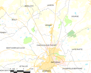
Châtillon-sur-Thouet
- commune in Deux-Sèvres, France
- Country:
- Postal Code: 79200
- Coordinates: 46° 39' 40" N, 0° 14' 3" E
- GPS tracks (wikiloc): [Link]
- Area: 16.45 sq km
- Population: 2701
- Web site: [Link]
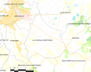
La Chapelle-Bertrand
- commune in Deux-Sèvres, France
- Country:
- Postal Code: 79200
- Coordinates: 46° 37' 17" N, 0° 10' 16" E
- GPS tracks (wikiloc): [Link]
- Area: 19.39 sq km
- Population: 478
Le Tallud
- commune in Deux-Sèvres, France
- Country:
- Postal Code: 79200
- Coordinates: 46° 37' 51" N, 0° 17' 48" E
- GPS tracks (wikiloc): [Link]
- Area: 19.22 sq km
- Population: 2043


Pompaire
- commune in Deux-Sèvres, France
- Country:
- Postal Code: 79200
- Coordinates: 46° 36' 30" N, 0° 14' 0" E
- GPS tracks (wikiloc): [Link]
- Area: 12.8 sq km
- Population: 2011


La Peyratte
- commune in Deux-Sèvres, France
- Country:
- Postal Code: 79200
- Coordinates: 46° 40' 31" N, 0° 8' 52" E
- GPS tracks (wikiloc): [Link]
- Area: 46.86 sq km
- Population: 1163
- Web site: [Link]