Le Tilleul (Le Tilleul)

- commune in Seine-Maritime, France
- Country:

- Postal Code: 76790
- Coordinates: 49° 40' 56" N, 0° 12' 19" E


- GPS tracks (wikiloc): [Link]
- Area: 6.27 sq km
- Population: 698
- Web site: http://www.mairie-letilleul.fr
- Wikipedia en: wiki(en)
- Wikipedia: wiki(fr)
- Wikidata storage: Wikidata: Q1416094
- Wikipedia Commons Category: [Link]
- Freebase ID: [/m/03qlrl_]
- GeoNames ID: Alt: [6456467]
- SIREN number: [217606938]
- BnF ID: [15275276n]
- VIAF ID: Alt: [241860327]
- GND ID: Alt: [4526635-9]
- INSEE municipality code: 76693
Shares border with regions:
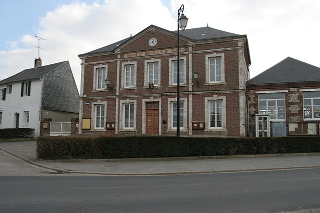
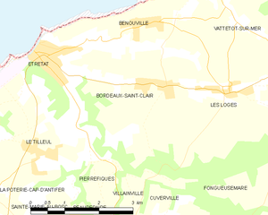
Bordeaux-Saint-Clair
- commune in Seine-Maritime, France
- Country:
- Postal Code: 76790
- Coordinates: 49° 42' 4" N, 0° 15' 10" E
- GPS tracks (wikiloc): [Link]
- Area: 10.31 sq km
- Population: 669


Pierrefiques
- commune in Seine-Maritime, France
- Country:
- Postal Code: 76280
- Coordinates: 49° 40' 15" N, 0° 13' 56" E
- GPS tracks (wikiloc): [Link]
- Area: 2.31 sq km
- Population: 138

La Poterie-Cap-d'Antifer
- commune in Seine-Maritime, France
- Country:
- Postal Code: 76280
- Coordinates: 49° 40' 18" N, 0° 11' 17" E
- GPS tracks (wikiloc): [Link]
- Area: 5.81 sq km
- Population: 447


Étretat
- commune in Seine-Maritime, France
- Country:
- Postal Code: 76794
- Coordinates: 49° 42' 23" N, 0° 12' 24" E
- GPS tracks (wikiloc): [Link]
- AboveSeaLevel: 102 м m
- Area: 4.07 sq km
- Population: 1388
- Web site: [Link]

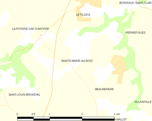
Sainte-Marie-au-Bosc
- commune in Seine-Maritime, France
- Country:
- Postal Code: 76280
- Coordinates: 49° 39' 51" N, 0° 12' 6" E
- GPS tracks (wikiloc): [Link]
- Area: 3.18 sq km
- Population: 365