Lennon (Lennon)

- commune in Finistère, France
- Country:

- Postal Code: 29190
- Coordinates: 48° 11' 34" N, 3° 53' 51" E


- GPS tracks (wikiloc): [Link]
- Area: 22.94 sq km
- Population: 818
- Wikipedia en: wiki(en)
- Wikipedia: wiki(fr)
- Wikidata storage: Wikidata: Q214587
- Wikipedia Commons Gallery: [Link]
- Wikipedia Commons Category: [Link]
- Freebase ID: [/m/03gxt8g]
- GeoNames ID: Alt: [3003111]
- SIREN number: [212901235]
- BnF ID: [15254473h]
- INSEE municipality code: 29123
Shares border with regions:


Saint-Thois
- commune in Finistère, France
- Country:
- Postal Code: 29520
- Coordinates: 48° 9' 55" N, 3° 53' 4" E
- GPS tracks (wikiloc): [Link]
- Area: 18.1 sq km
- Population: 714


Plonévez-du-Faou
- commune in Finistère, France
- Country:
- Postal Code: 29530
- Coordinates: 48° 15' 8" N, 3° 49' 29" E
- GPS tracks (wikiloc): [Link]
- Area: 80.73 sq km
- Population: 2115
Herby [CC BY-SA 4.0 (https://creativecommons.org/licenses/by-sa/4.0)], via Wikimedia Commons" rel="noindex" href="Ch%C3%A2teauneuf-du-Faou">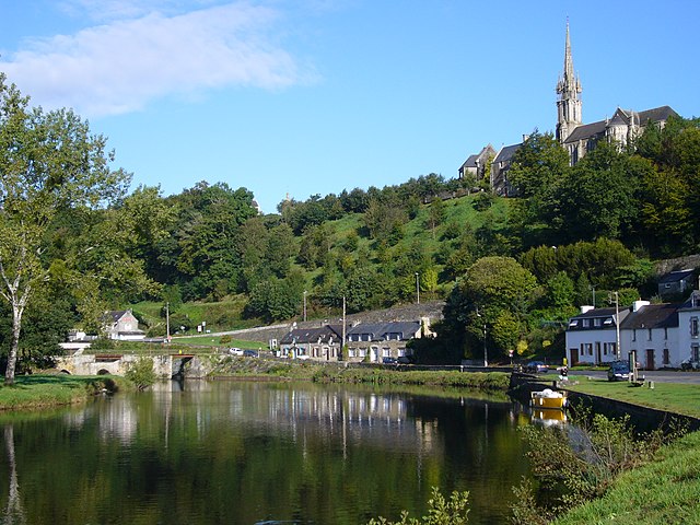
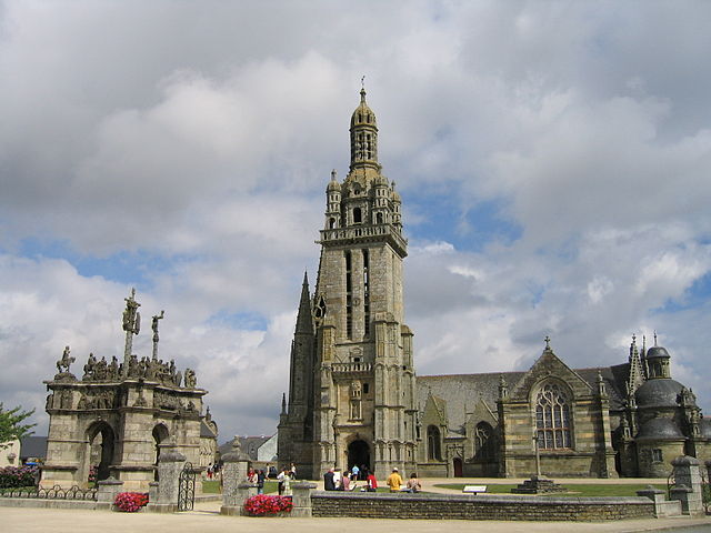
Châteauneuf-du-Faou
- commune in Finistère, France
- Country:
- Postal Code: 29540
- Coordinates: 48° 11' 10" N, 3° 48' 46" E
- GPS tracks (wikiloc): [Link]
- Area: 42.58 sq km
- Population: 3690
- Web site: [Link]


Le Cloître-Pleyben
- commune in Finistère, France
- Country:
- Postal Code: 29190
- Coordinates: 48° 15' 25" N, 3° 53' 26" E
- GPS tracks (wikiloc): [Link]
- Area: 20.42 sq km
- Population: 540
- Web site: [Link]


Gouézec
- commune in Finistère, France
- Country:
- Postal Code: 29190
- Coordinates: 48° 10' 11" N, 3° 58' 22" E
- GPS tracks (wikiloc): [Link]
- Area: 30.94 sq km
- Population: 1106
- Web site: [Link]

Pleyben
- commune in Finistère, France
- Country:
- Postal Code: 29190
- Coordinates: 48° 14' 0" N, 3° 58' 0" E
- GPS tracks (wikiloc): [Link]
- Area: 76.04 sq km
- Population: 3743
- Web site: [Link]