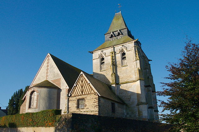
Les Bottereaux (Les Bottereaux)

- commune in Eure, France
- Country:

- Postal Code: 27250
- Coordinates: 48° 52' 21" N, 0° 40' 5" E


- GPS tracks (wikiloc): [Link]
- Area: 22.13 sq km
- Population: 358
- Wikipedia en: wiki(en)
- Wikipedia: wiki(fr)
- Wikidata storage: Wikidata: Q376194
- Wikipedia Commons Category: [Link]
- Freebase ID: [/m/03mhqny]
- Freebase ID: [/m/03mhqny]
- GeoNames ID: Alt: [6456807]
- GeoNames ID: Alt: [6456807]
- SIREN number: [212700967]
- SIREN number: [212700967]
- BnF ID: [15253335f]
- BnF ID: [15253335f]
- INSEE municipality code: 27096
- INSEE municipality code: 27096
Shares border with regions:

Ambenay
- commune in Eure, France
- Country:
- Postal Code: 27250
- Coordinates: 48° 50' 10" N, 0° 43' 45" E
- GPS tracks (wikiloc): [Link]
- Area: 16.8 sq km
- Population: 577
- Web site: [Link]


Bois-Normand-près-Lyre
- commune in Eure, France
- Country:
- Postal Code: 27330
- Coordinates: 48° 53' 50" N, 0° 41' 45" E
- GPS tracks (wikiloc): [Link]
- Area: 16.88 sq km
- Population: 353
Saint-Antonin-de-Sommaire
- commune in Eure, France
- Country:
- Postal Code: 27250
- Coordinates: 48° 49' 55" N, 0° 40' 5" E
- GPS tracks (wikiloc): [Link]
- Area: 7.16 sq km
- Population: 186
Chambord
- commune in Eure, France
- Country:
- Postal Code: 27250
- Coordinates: 48° 53' 23" N, 0° 36' 33" E
- GPS tracks (wikiloc): [Link]
- Area: 14.62 sq km
- Population: 149


Neaufles-Auvergny
- commune in Eure, France
- Country:
- Postal Code: 27250
- Coordinates: 48° 51' 55" N, 0° 44' 5" E
- GPS tracks (wikiloc): [Link]
- AboveSeaLevel: 187 м m
- Area: 17.35 sq km
- Population: 424


Juignettes
- commune in Eure, France
- Country:
- Postal Code: 27250
- Coordinates: 48° 50' 41" N, 0° 39' 20" E
- GPS tracks (wikiloc): [Link]
- Area: 12.96 sq km
- Population: 237