Les Champs-de-Losque (Les Champs-de-Losque)

- former commune in Manche, France
- Country:

- Postal Code: 50620
- Coordinates: 49° 10' 58" N, 1° 13' 53" E


- GPS tracks (wikiloc): [Link]
- Area: 9.31 sq km
- Population: 185
- Wikipedia en: wiki(en)
- Wikipedia: wiki(fr)
- Wikidata storage: Wikidata: Q1001279
- Wikipedia Commons Category: [Link]
- Freebase ID: [/m/03w9kb7]
- Freebase ID: [/m/03w9kb7]
- GeoNames ID: Alt: [6456099]
- GeoNames ID: Alt: [6456099]
- BnF ID: [15262096s]
- BnF ID: [15262096s]
- INSEE municipality code: 50119
- INSEE municipality code: 50119
Shares border with regions:

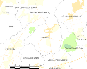
Tribehou
- commune in Manche, France
- Country:
- Postal Code: 50620
- Coordinates: 49° 12' 50" N, 1° 14' 38" E
- GPS tracks (wikiloc): [Link]
- Area: 9.97 sq km
- Population: 533
- Web site: [Link]


Remilly-sur-Lozon
- former commune in Manche, France
- Country:
- Postal Code: 50570
- Coordinates: 49° 10' 51" N, 1° 15' 25" E
- GPS tracks (wikiloc): [Link]
- Area: 9.56 sq km
- Population: 687
- Web site: [Link]


Le Mesnil-Eury
- commune in Manche, France
- Country:
- Postal Code: 50570
- Coordinates: 49° 9' 5" N, 1° 14' 15" E
- GPS tracks (wikiloc): [Link]
- Area: 3.46 sq km
- Population: 178


Le Hommet-d'Arthenay
- former commune in Manche, France
- Country:
- Postal Code: 50620
- Coordinates: 49° 11' 24" N, 1° 11' 16" E
- GPS tracks (wikiloc): [Link]
- Area: 14.85 sq km
- Population: 395
- Web site: [Link]

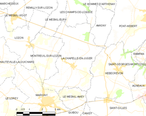
La Chapelle-en-Juger
- former commune in Manche, France
- Country:
- Postal Code: 50570
- Coordinates: 49° 7' 40" N, 1° 12' 53" E
- GPS tracks (wikiloc): [Link]
- Area: 15 sq km
- Population: 656